Delphi – Top Cochran
The route Delphi – Top Cochran is accessible and relatively comfortable for the majority. It lasts about 4 hours and has a total length of 16.5 km. It is signposted from the Forest of Amfissa.
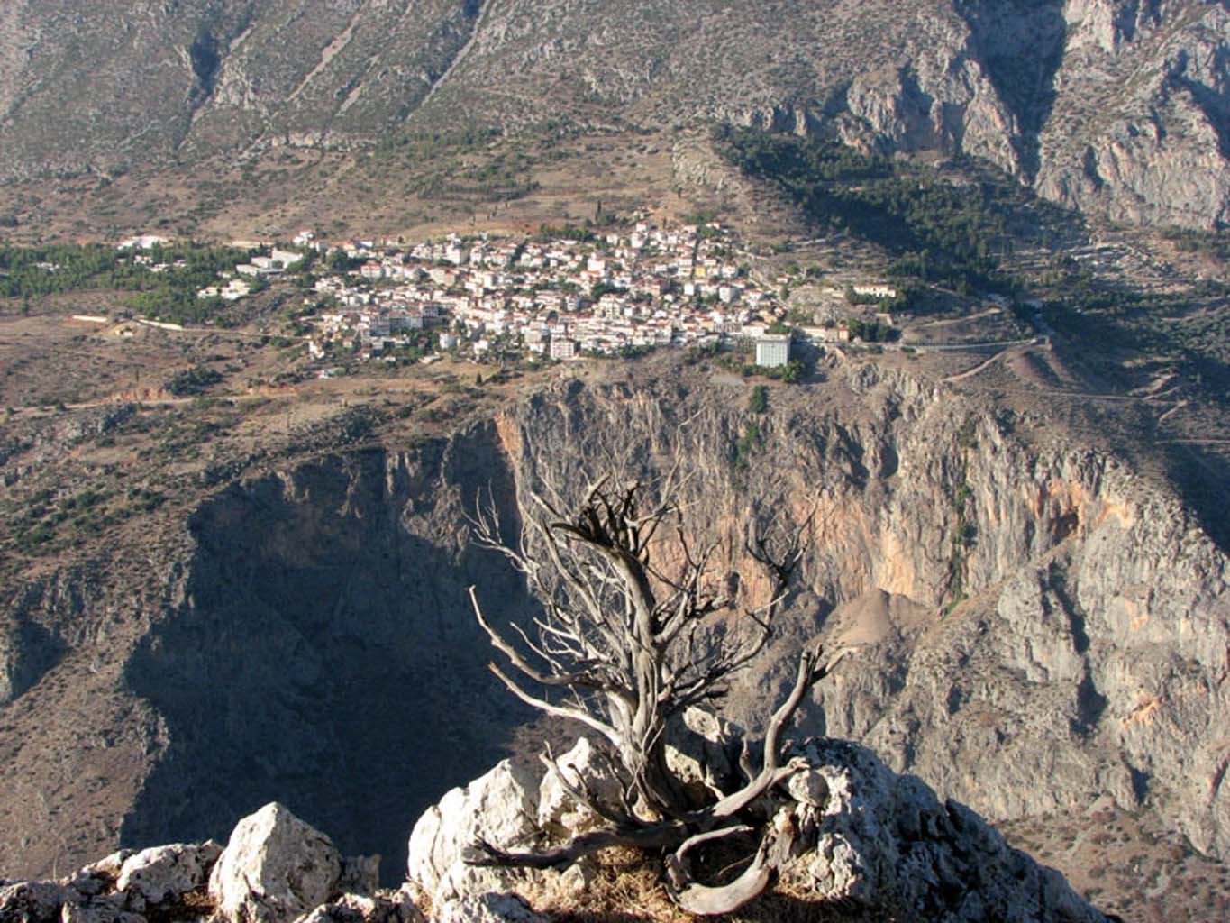
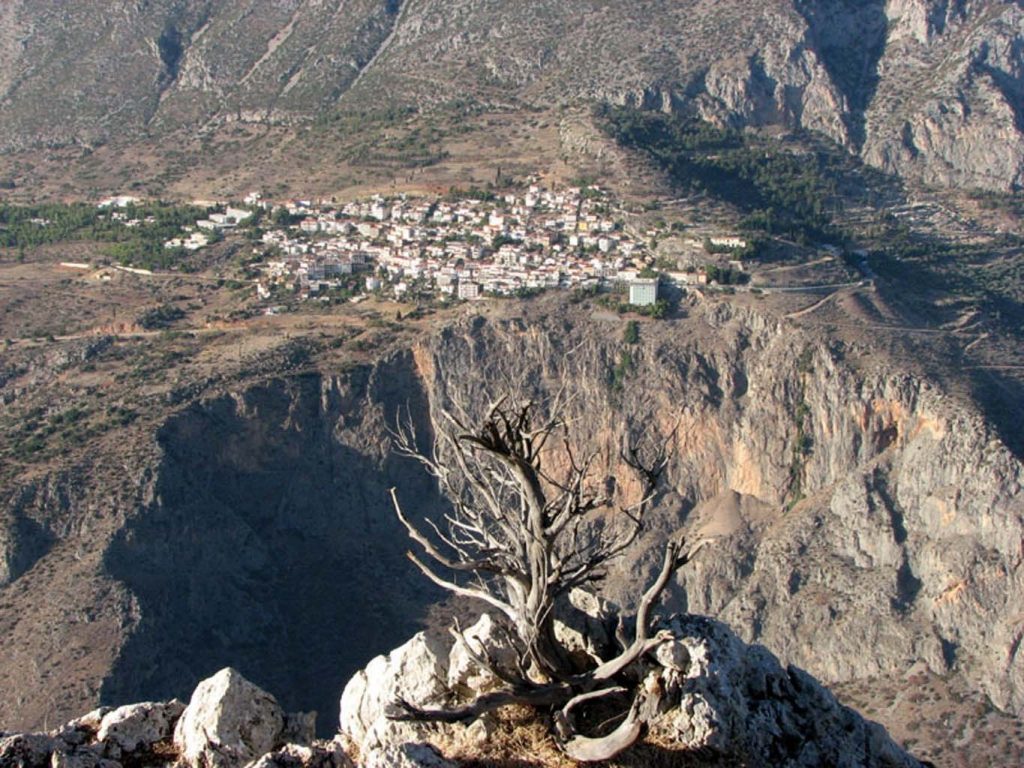
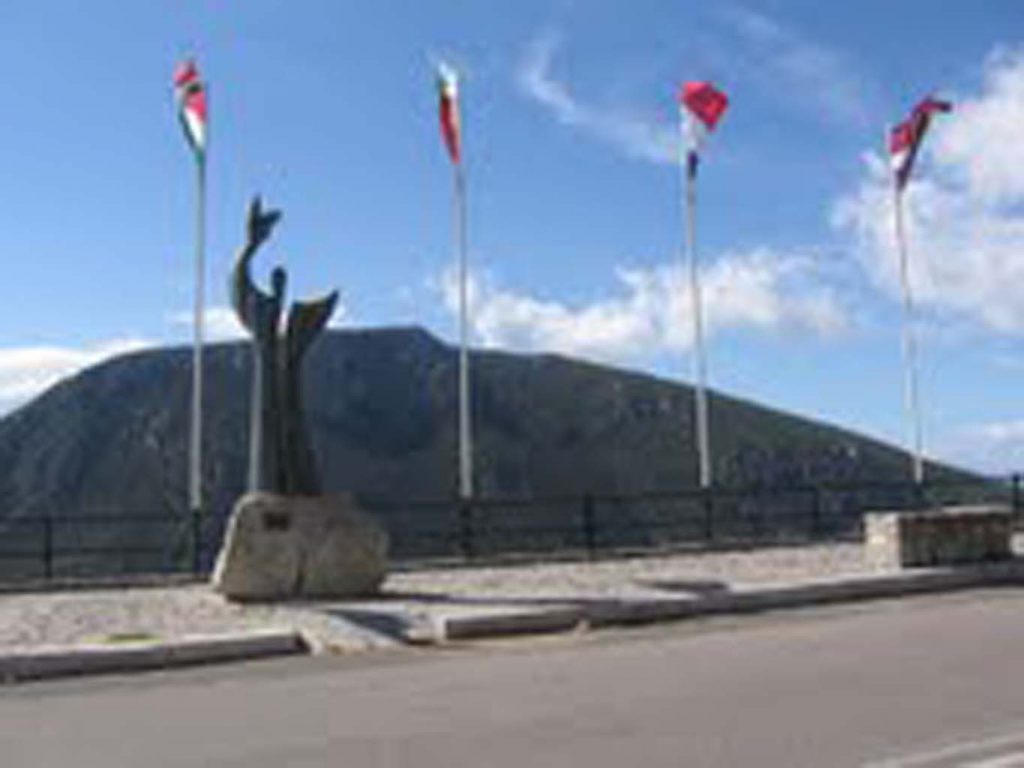
It starts from the end of the sidewalk, after the flags at Delphi. It descends to the olive grove and the valley of the river Pleistos, passes the channel of Mornos and arrives at the chapel of St. George with the big cypress. Continue to the right (following the signs to route Delphi – Top Cochran) to Chriss, where it meets the bridge Pleistos and offers panoramic views of Delphi.
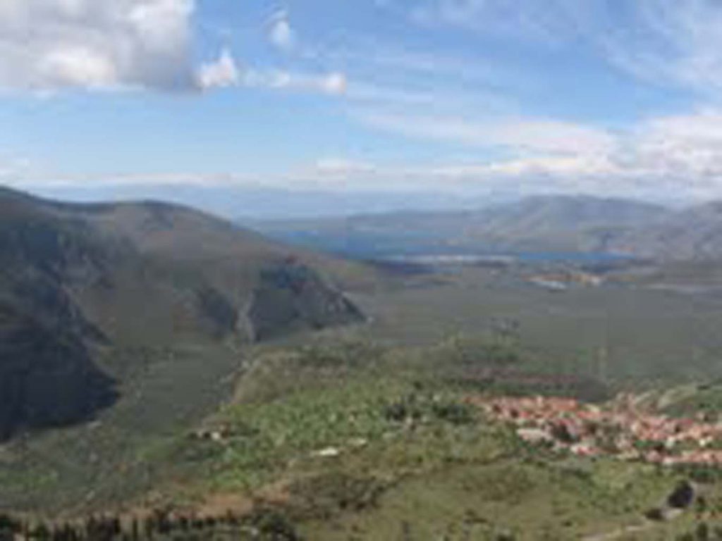
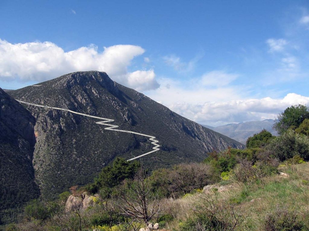
From there begins the ascension to the plateau of Desfina and for about two hours consecutively zig – zag and long straights disclose more and better view of the “Navel of the Earth” . A little before the plateau, the view is lost and by consulting the information sign the hikers should choose direction from now on: one option is Desfina 40 minutes to nearly straight dirt road. The other is the steep path to the top Cochran with wooden watchtower. It lasts about 40 more minutes and offers a spectacular view to those who choose it as the end of the route Delphi – Top Cochran.