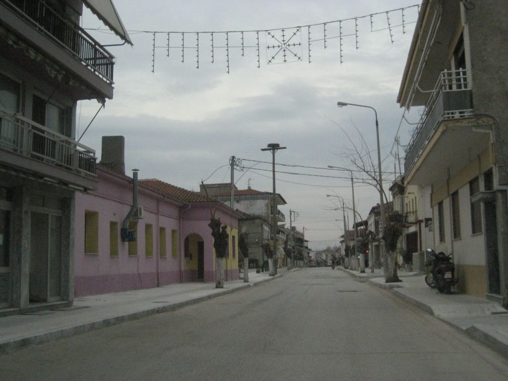
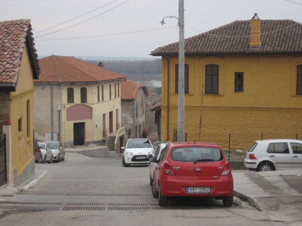
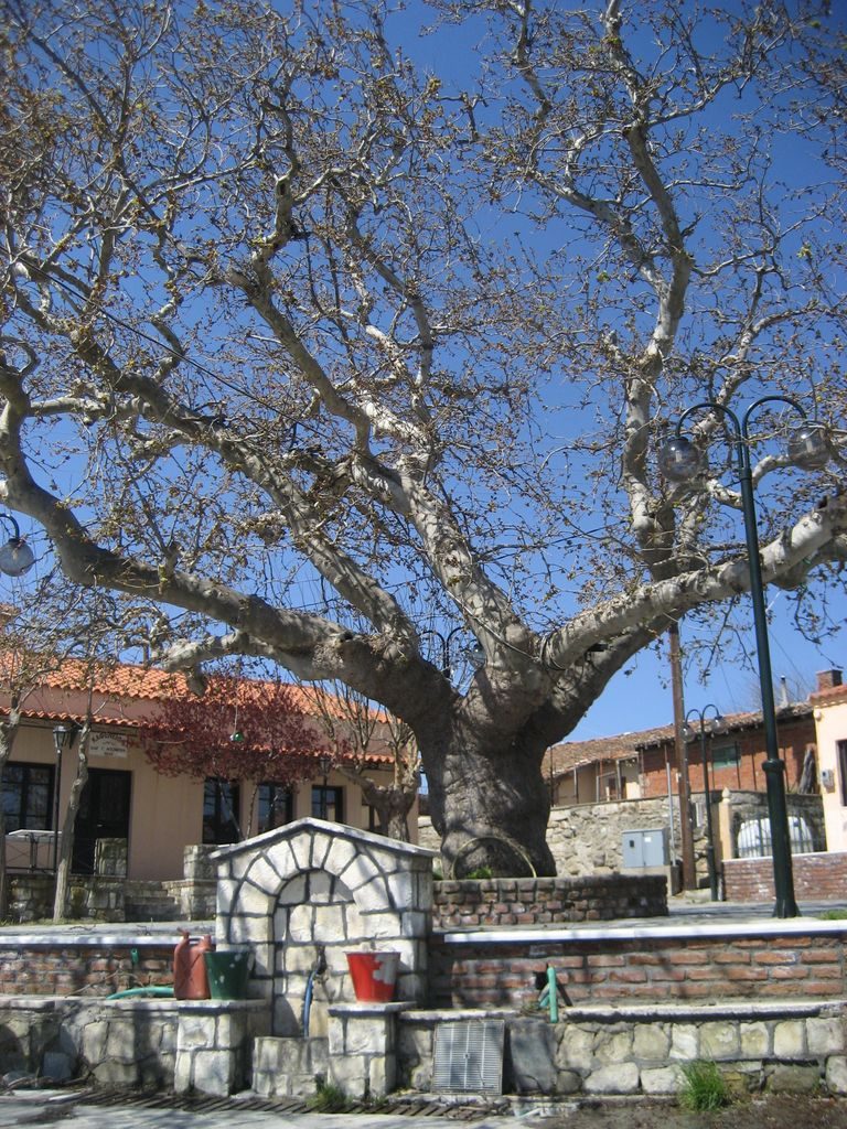
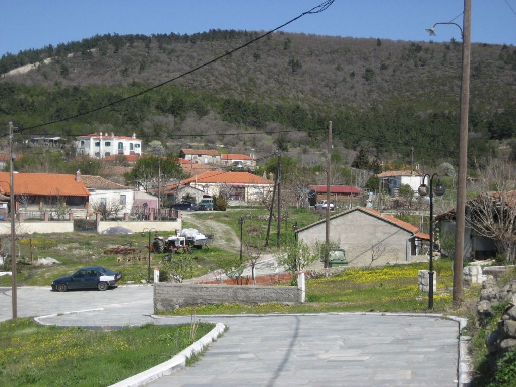
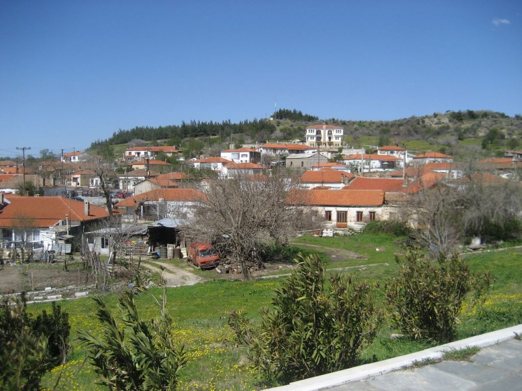
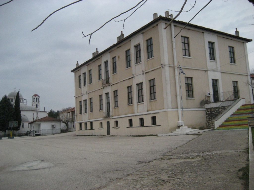
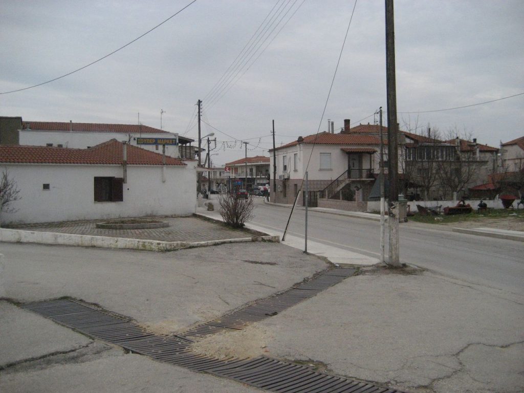
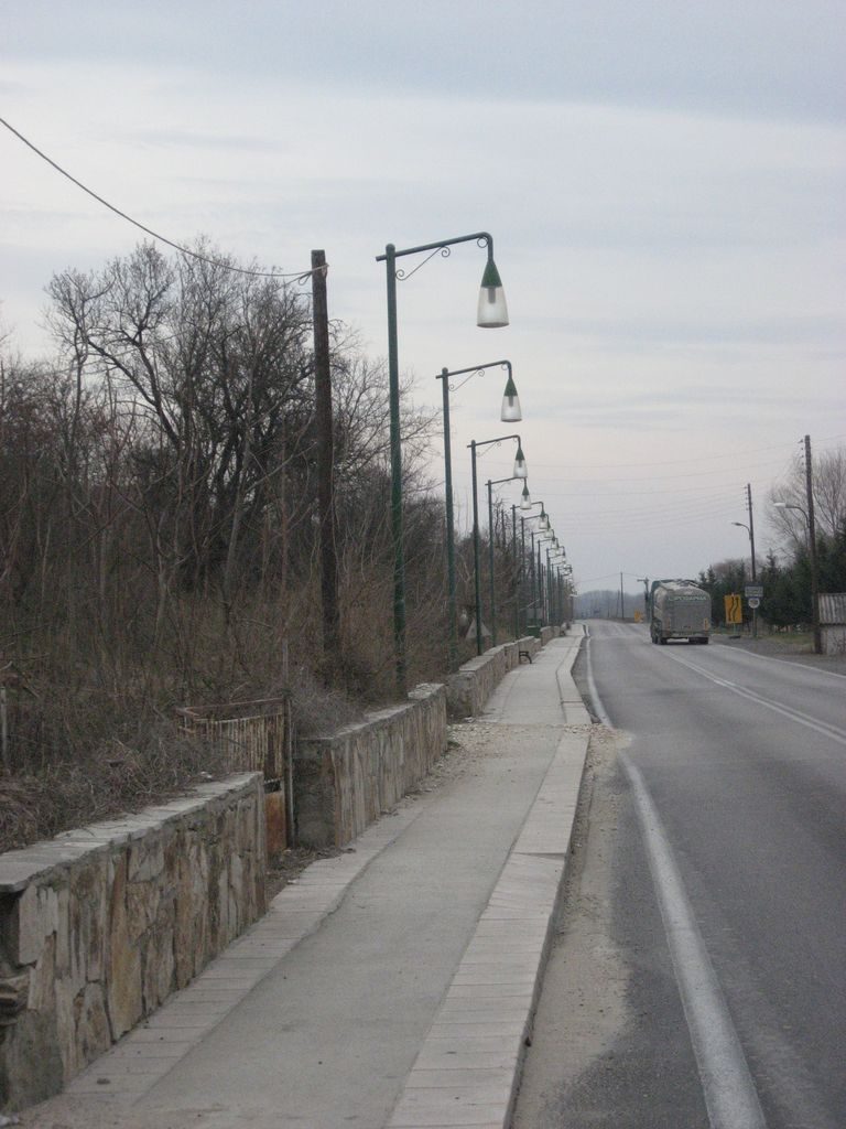
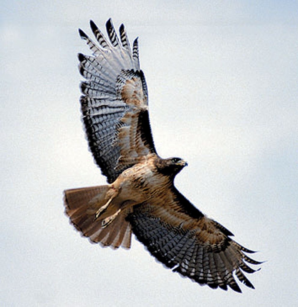
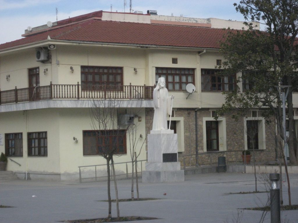
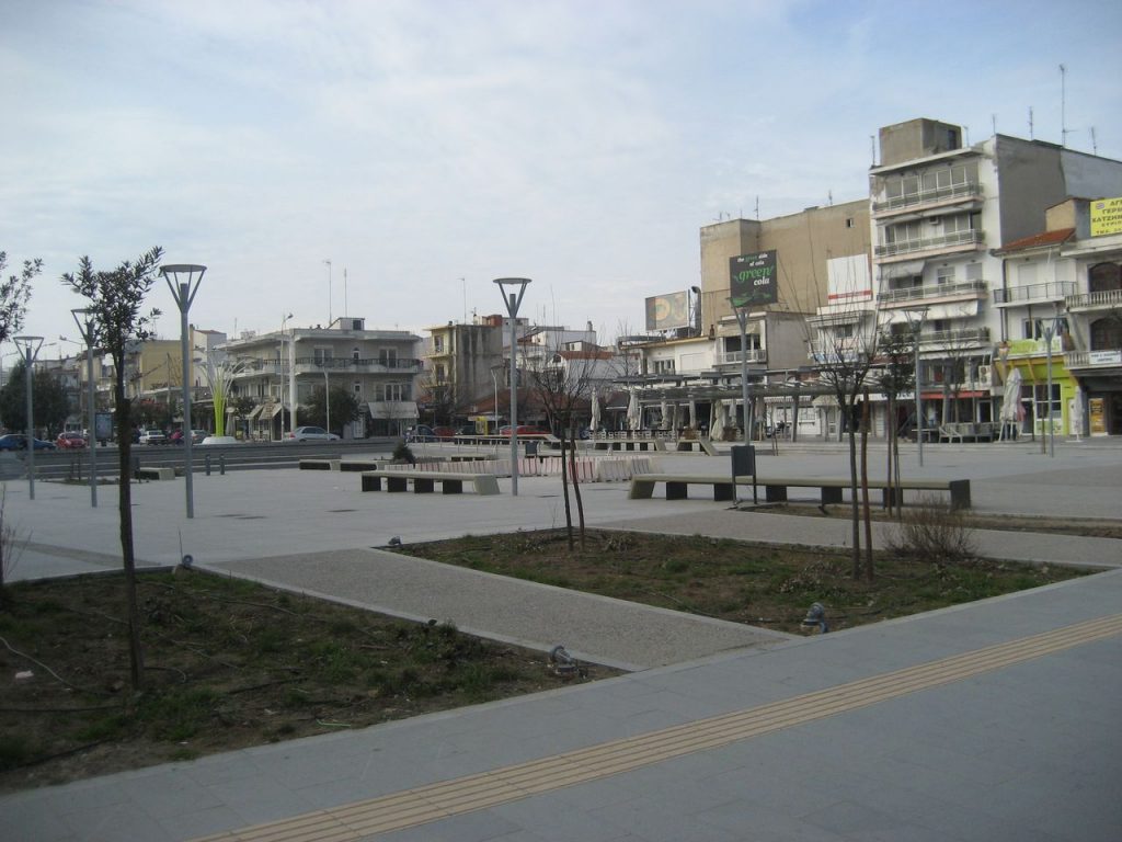
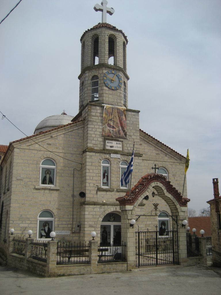
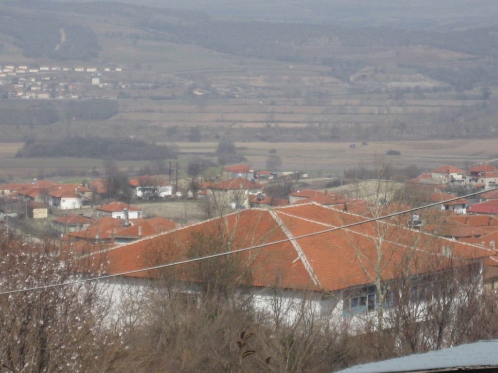
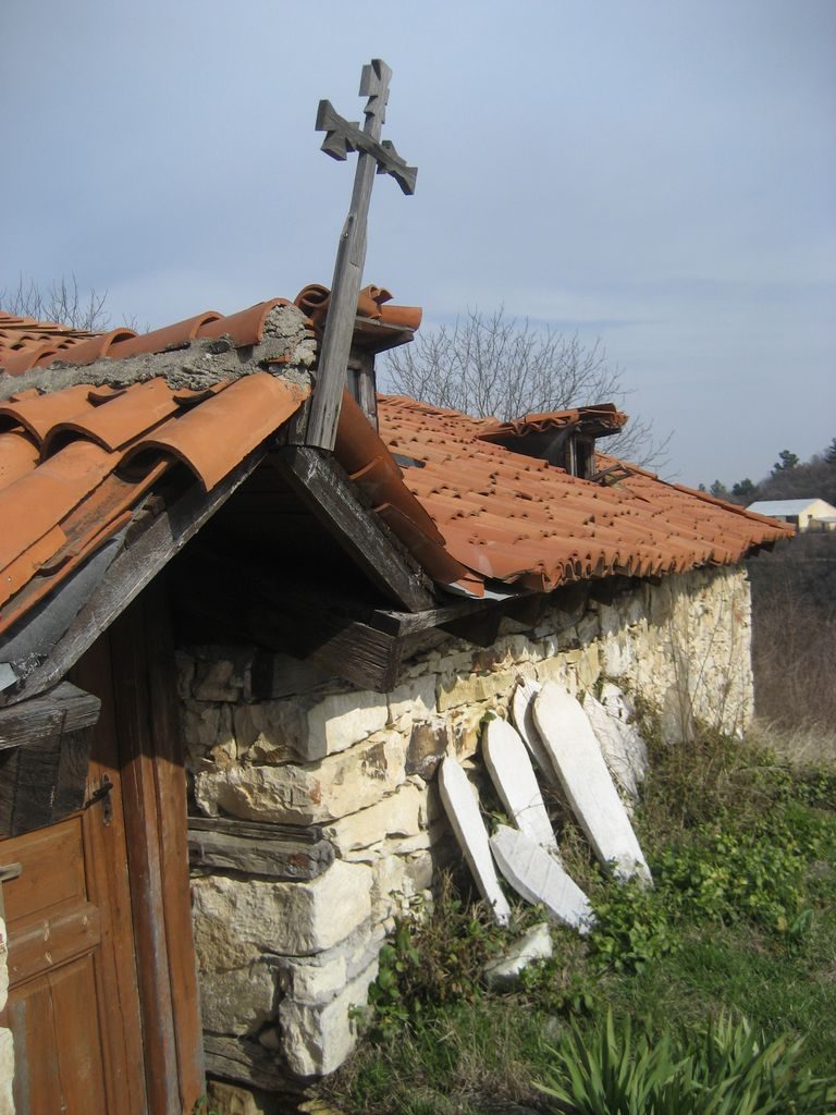
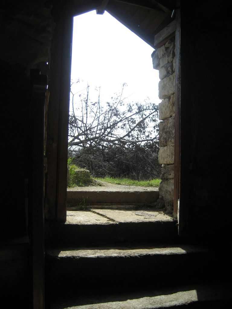
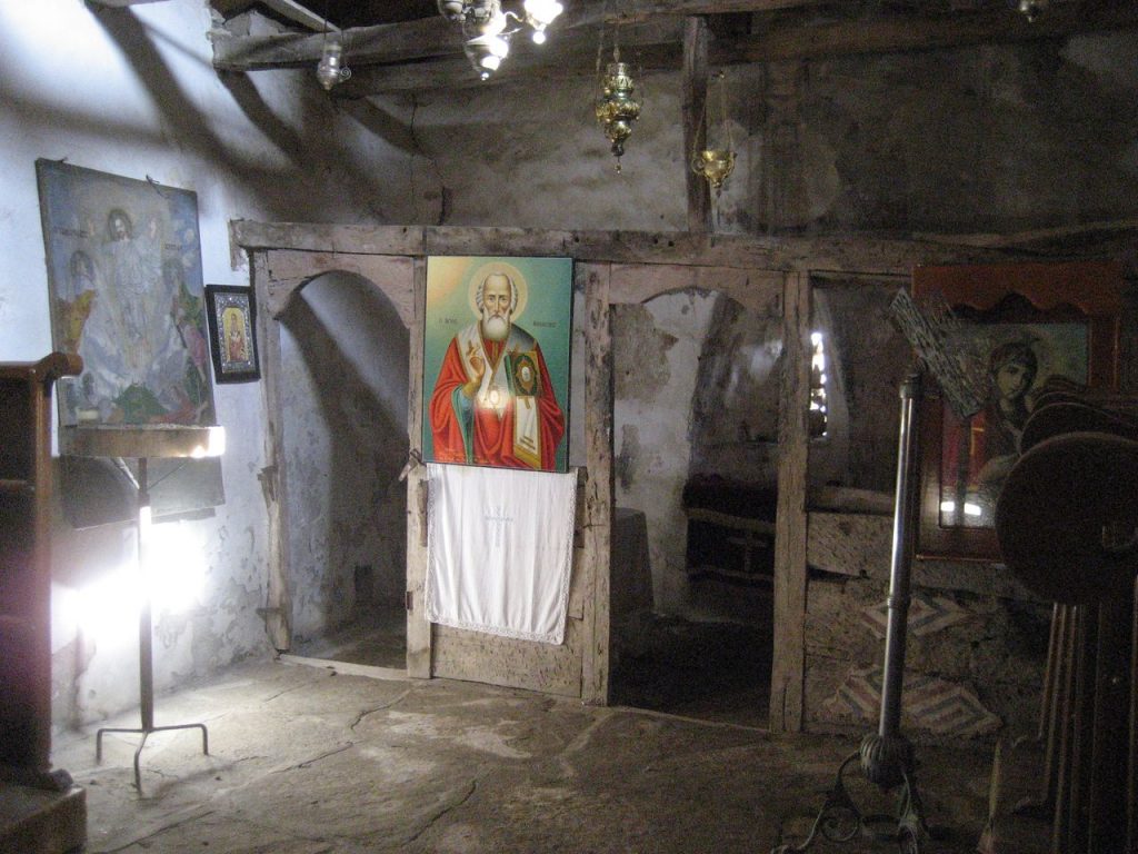
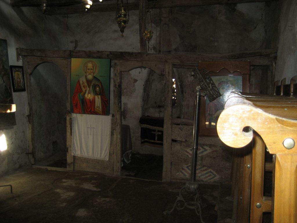
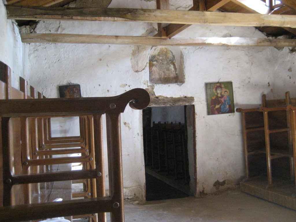
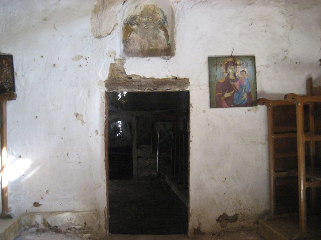
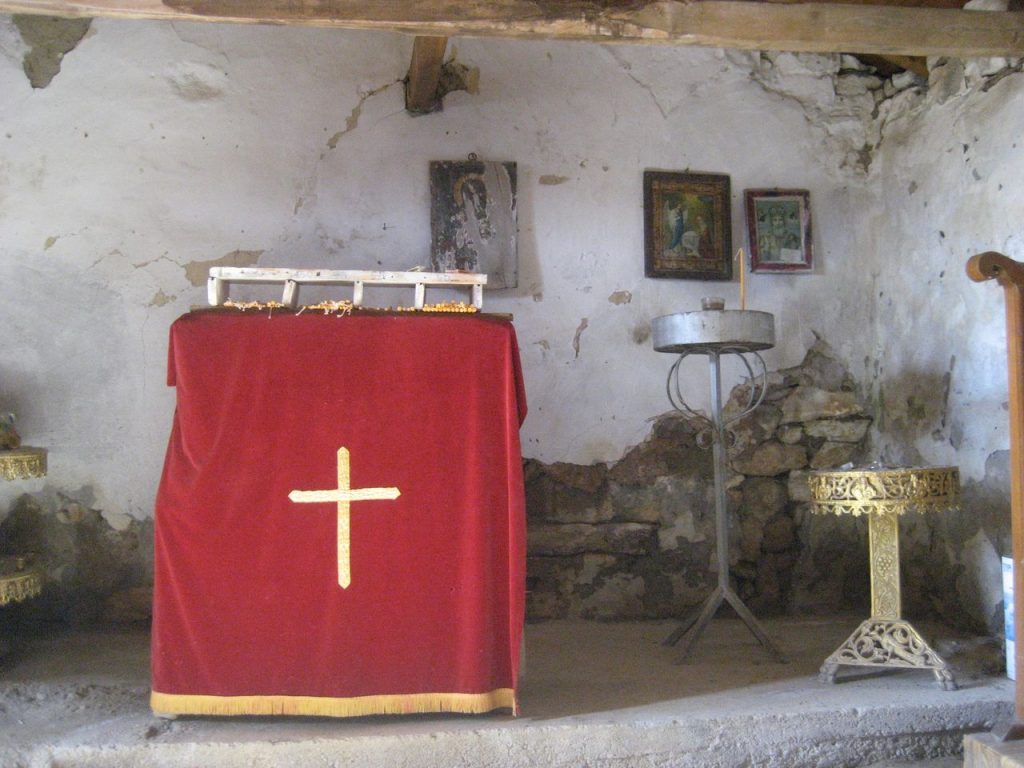
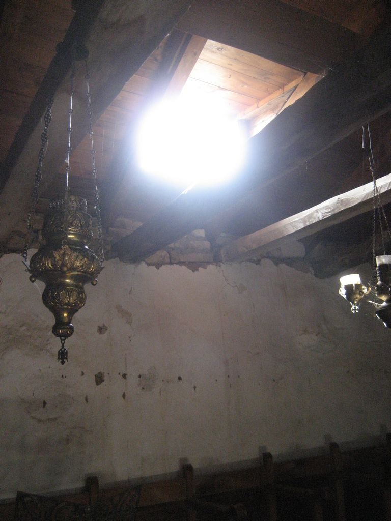
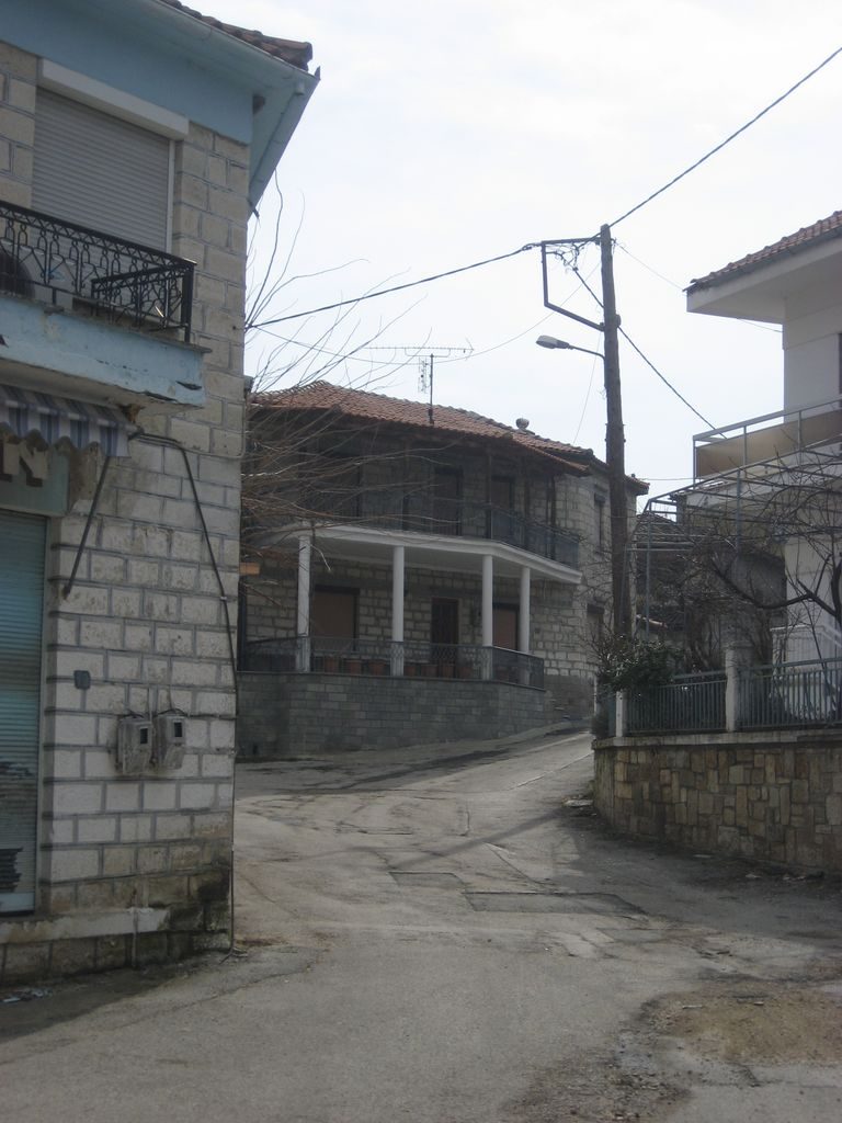
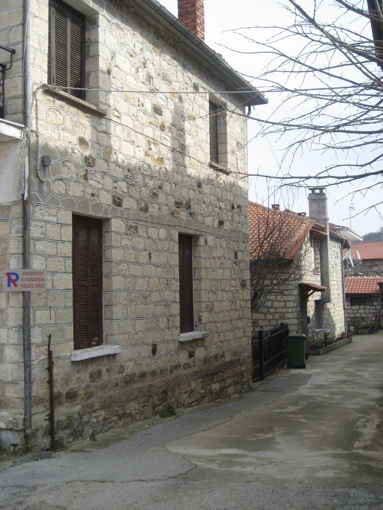
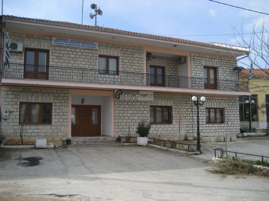
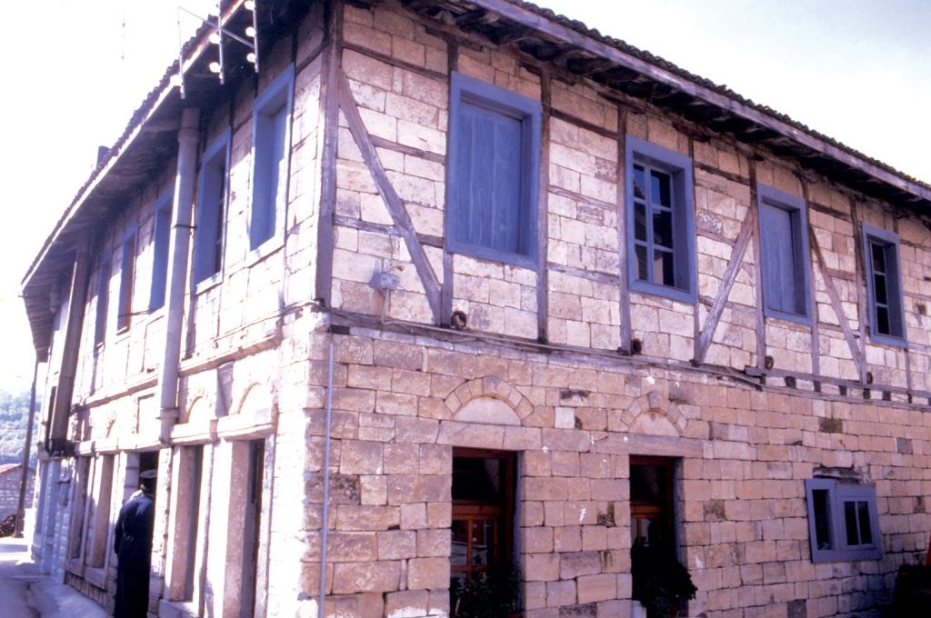
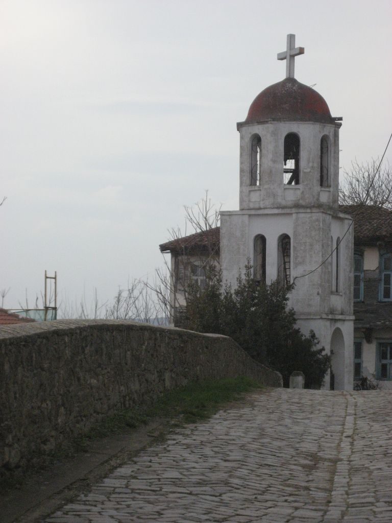
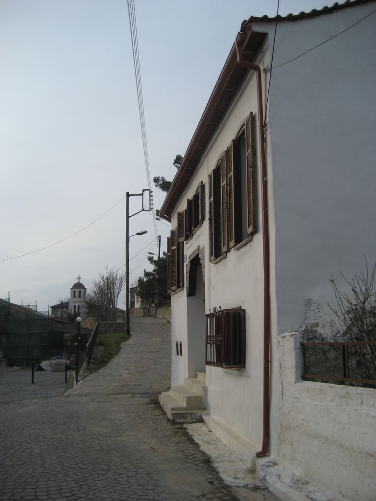
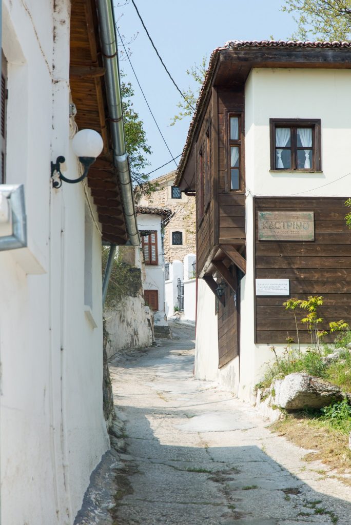
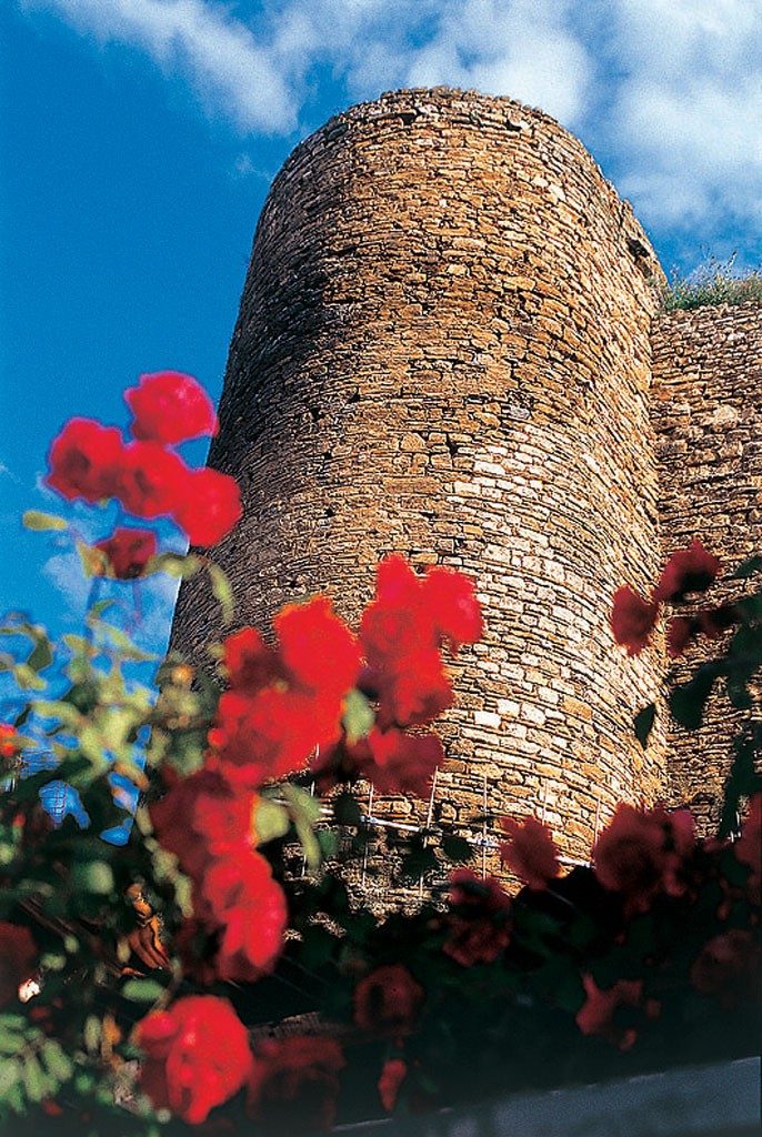
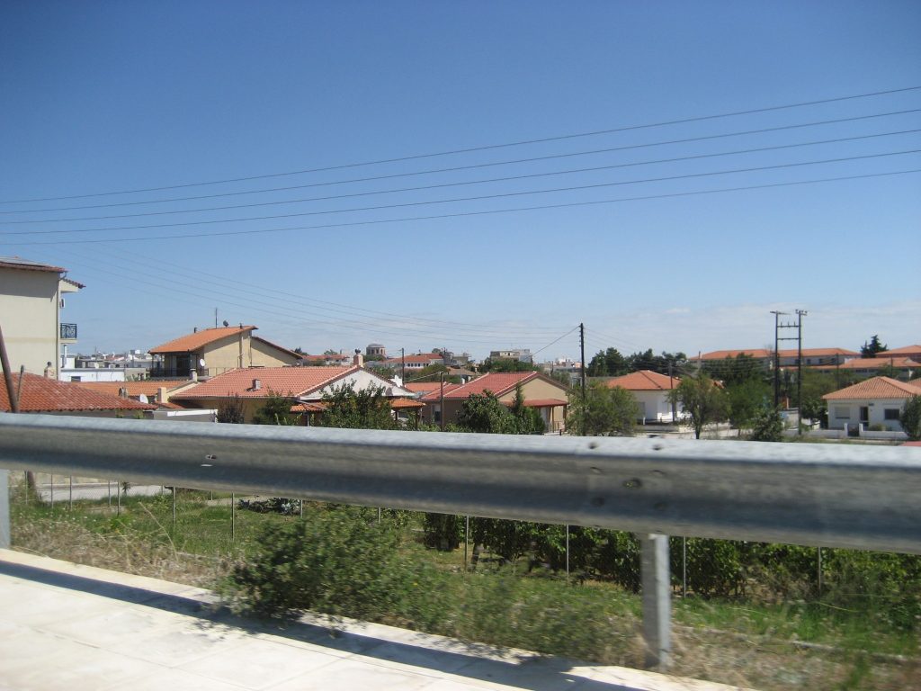
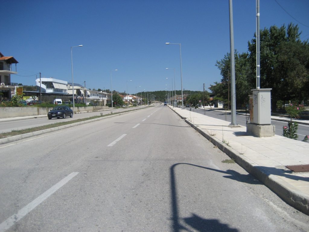
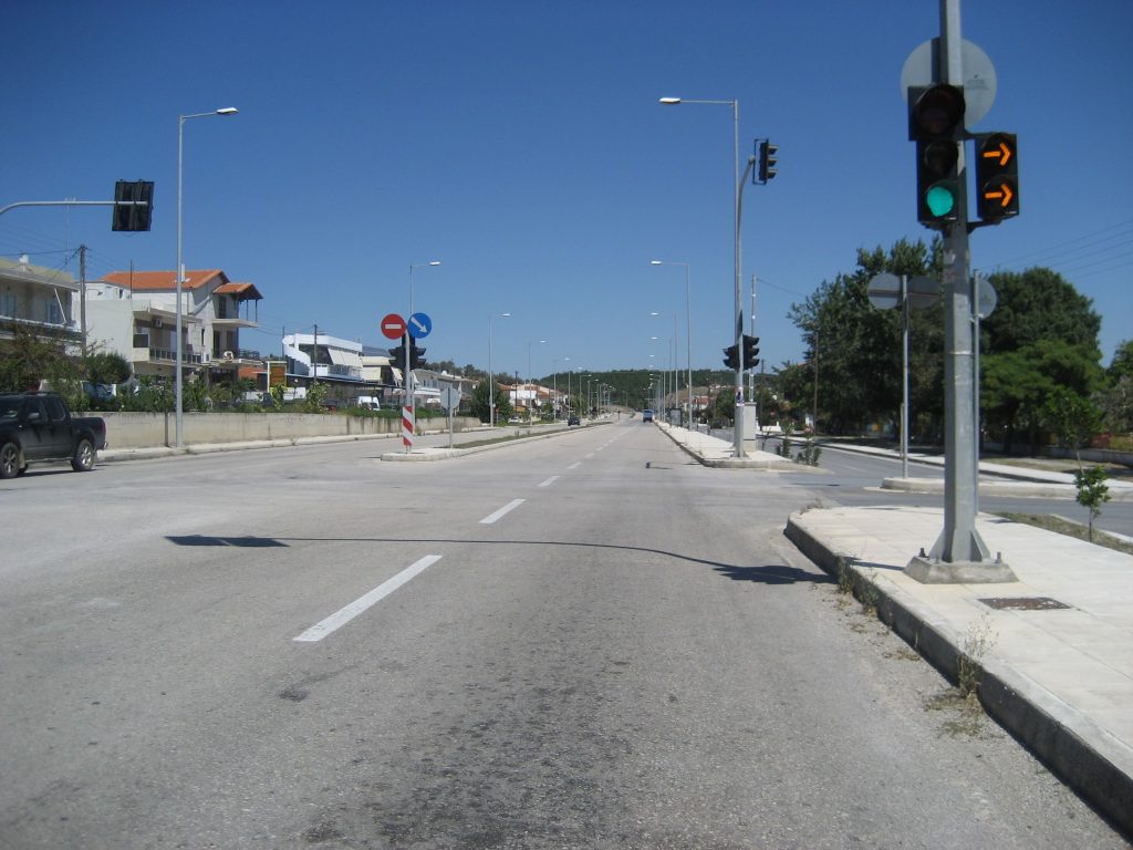
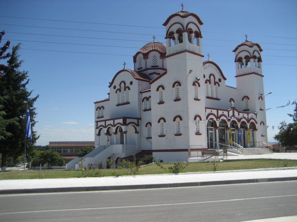
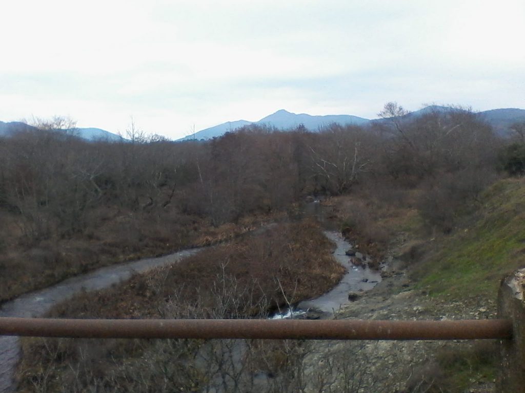
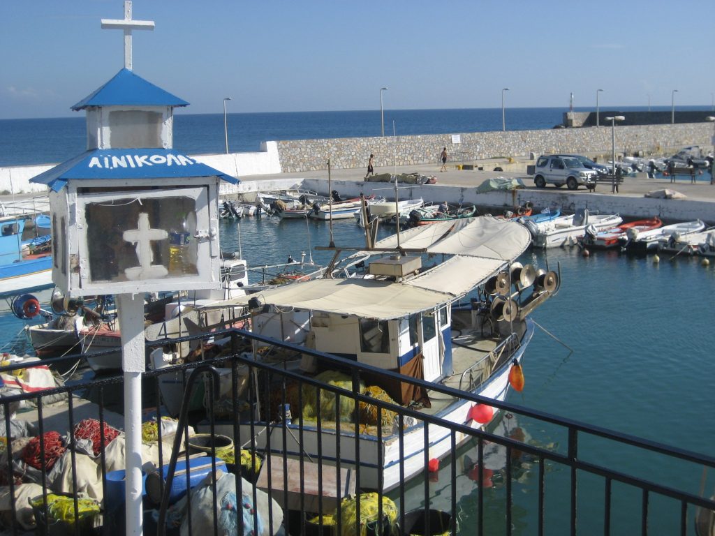
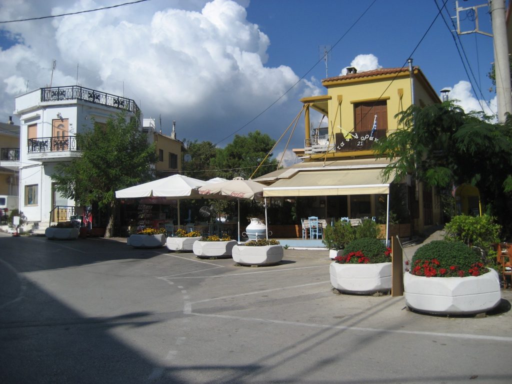
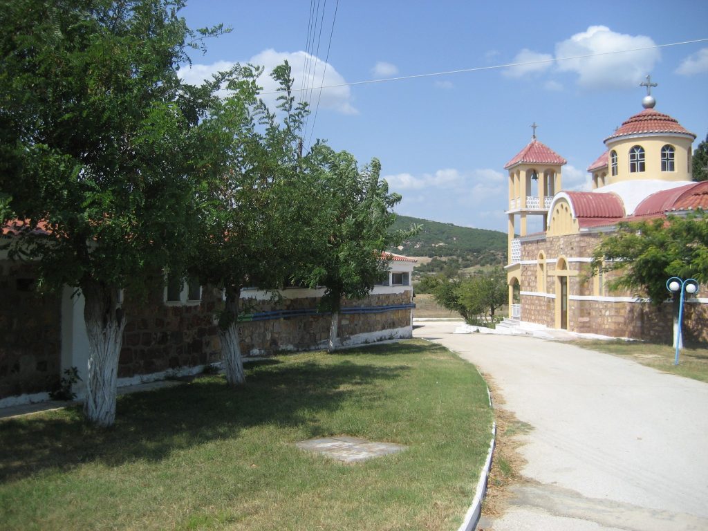
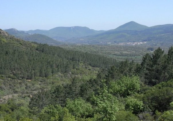
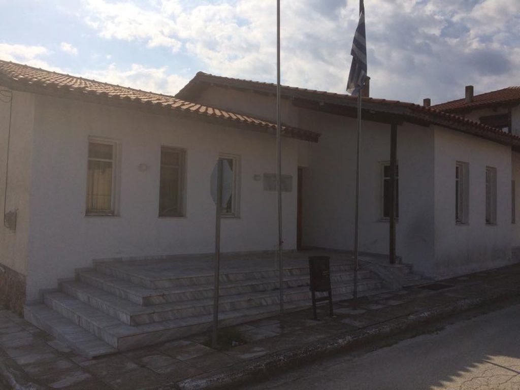
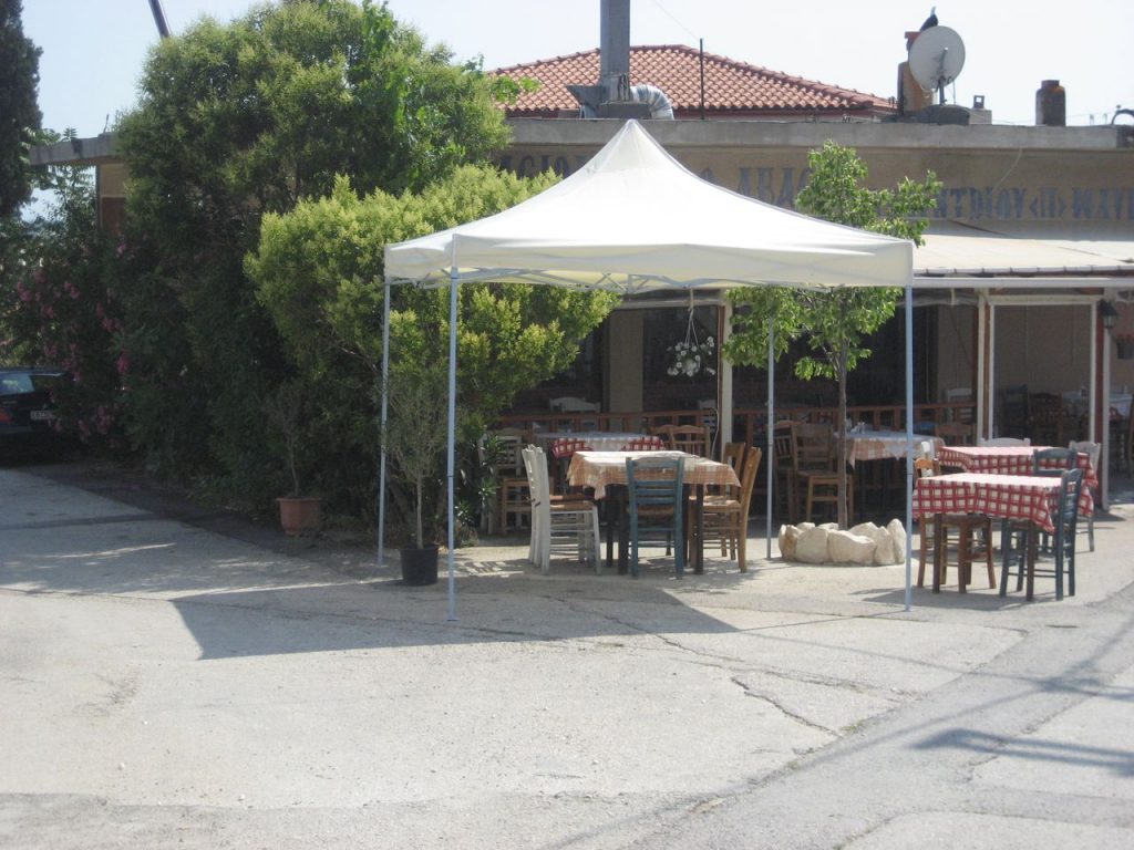
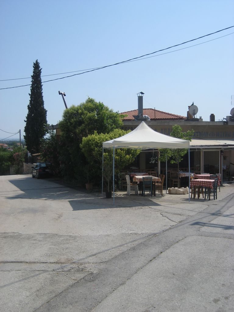
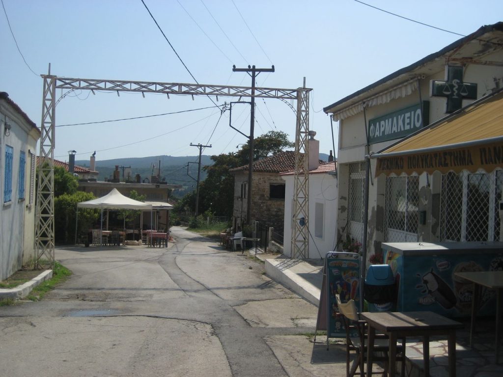
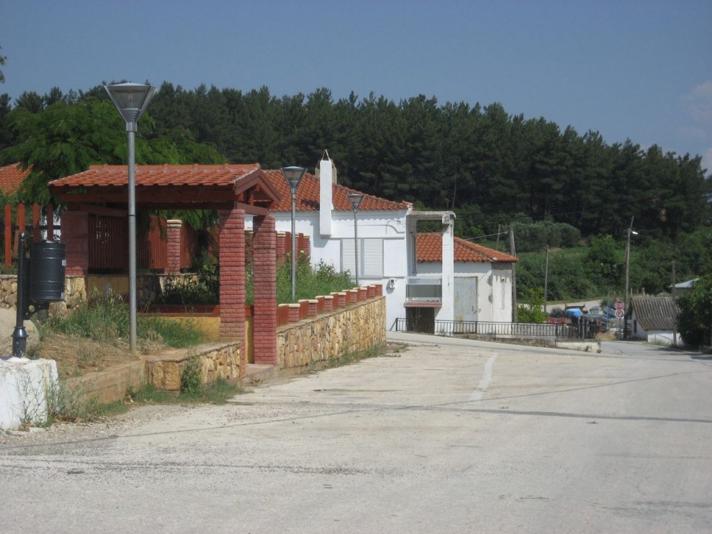
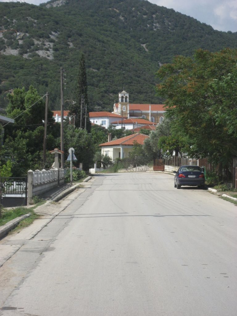
Evros - Villages
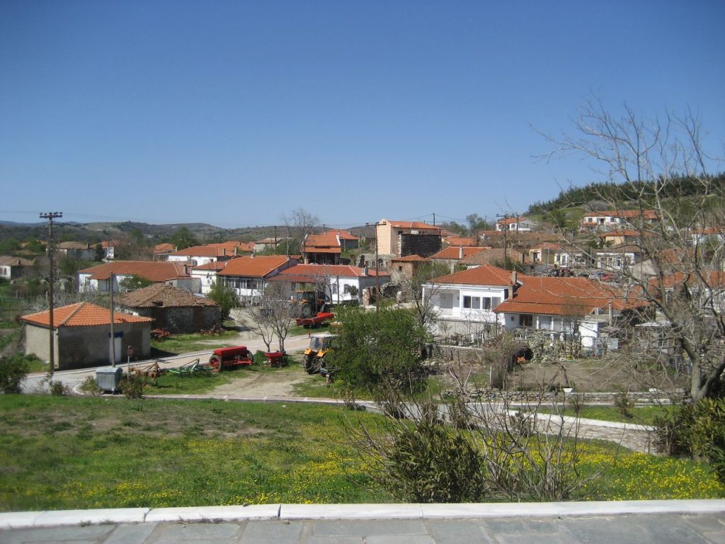
The villages and the towns of the Evros are scattered throughout the region. The capital, Alexandroupolis, naturally dominates, as it is the largest city and the center of all activities. The characteristic of the Evros, which forms the border of three countries, makes each one of the villages of the region distinctive.
The county has a total population of about 150,000 inhabitants.
According to the national administrative division of territory, KALLIKRATIS, implemented in Greece on 2010, Evros is divided into five municipalities: • of Alexandroupolis • of Orestiada • of Didymoticho • of Soufli • of Samothrace.
The villages of Evros is estimated to be more than 150, but it is certain that those who decide to visit them cannot decide which one to admire and choose first!
-
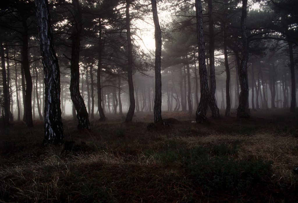
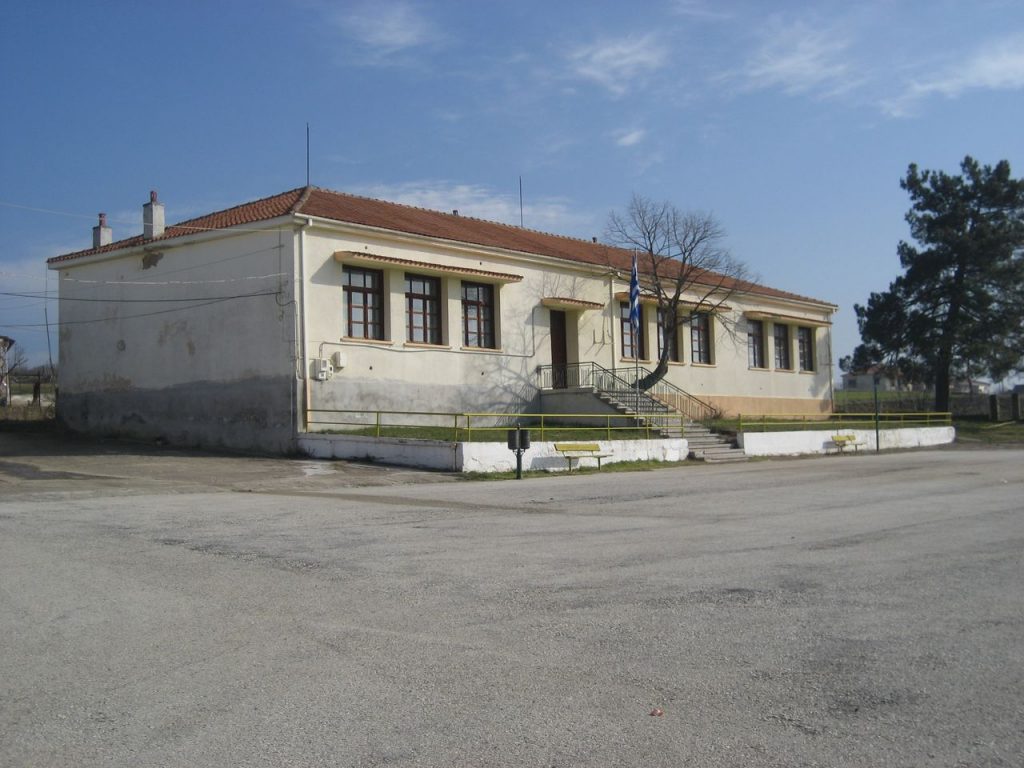
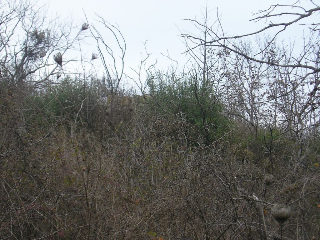
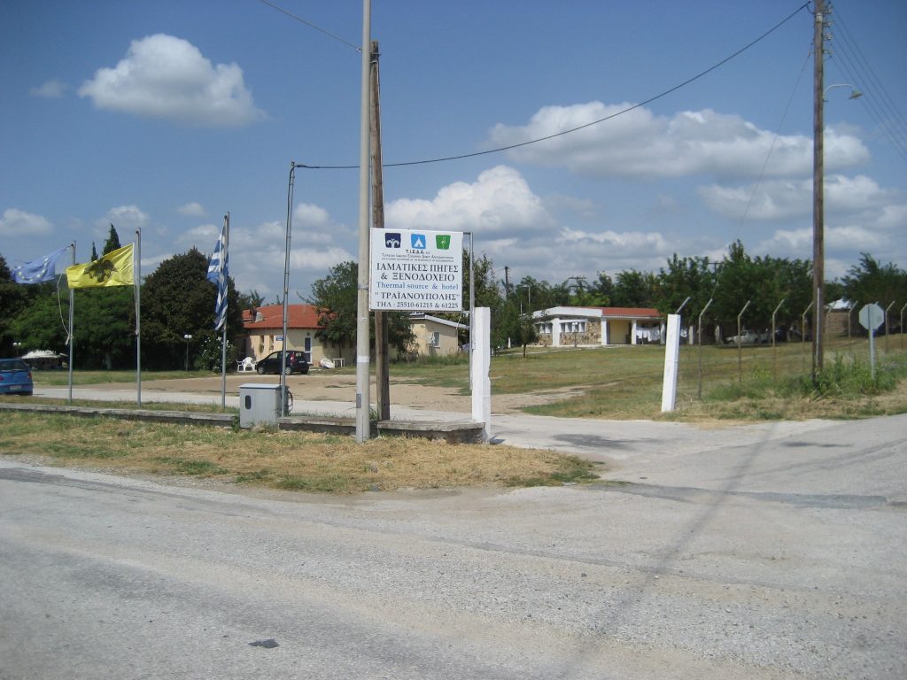
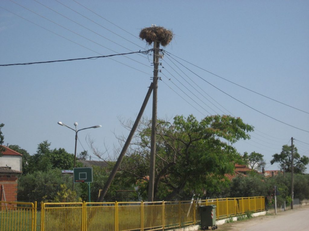
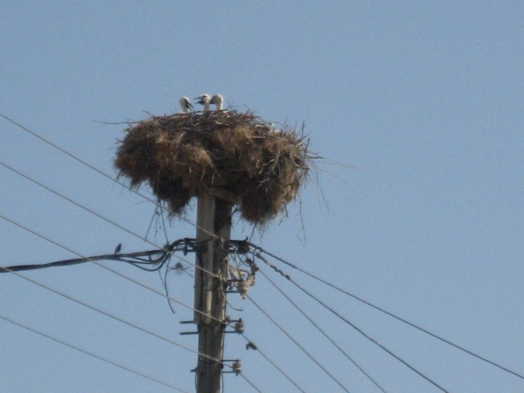
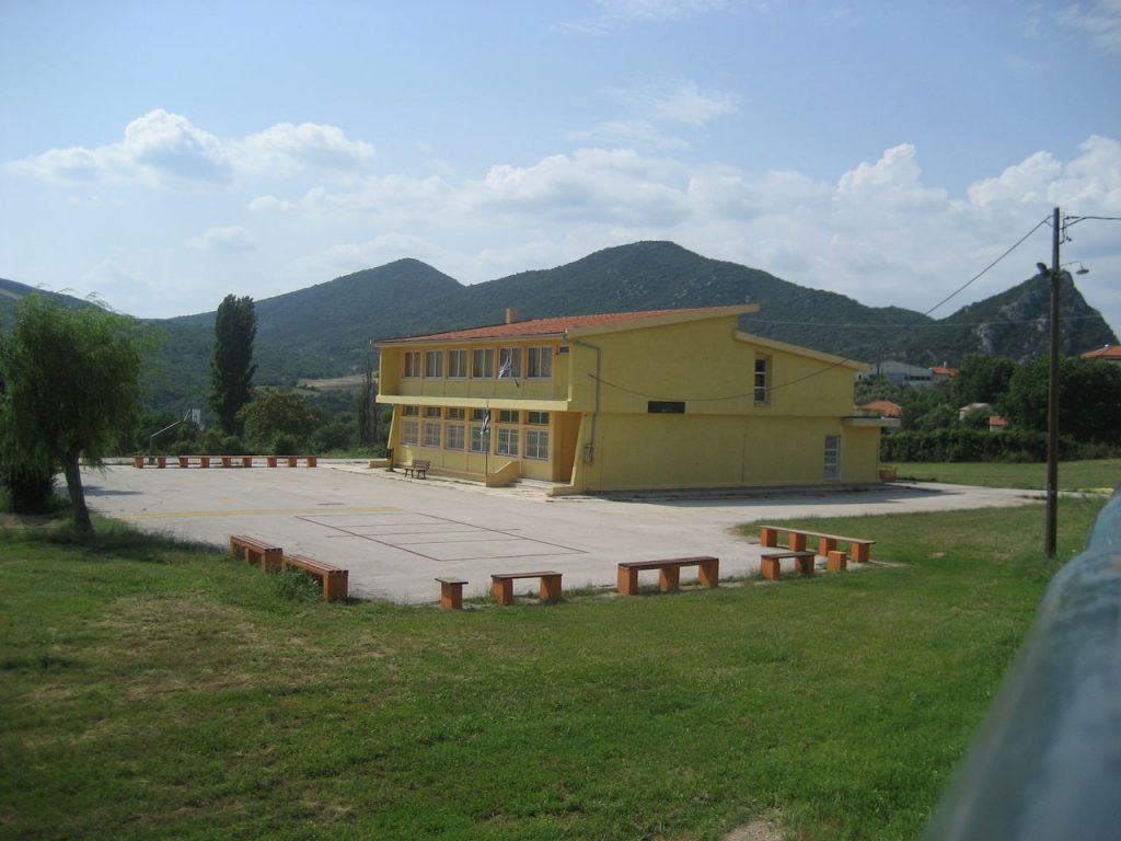
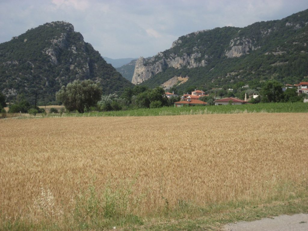
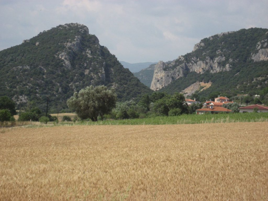
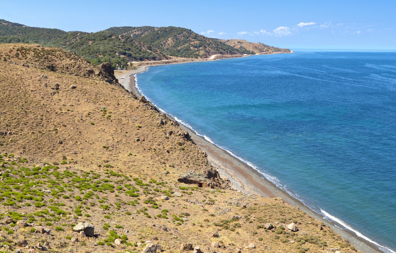
Fylachto
In Fylachto of Evros, you can admire the petrified forest, with trees and plants aging about 40 million years! It is 50 kilometers from Alexandroupolis. Read more
-
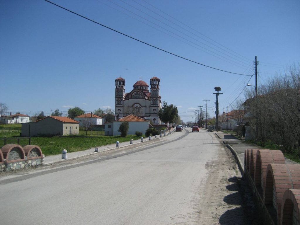
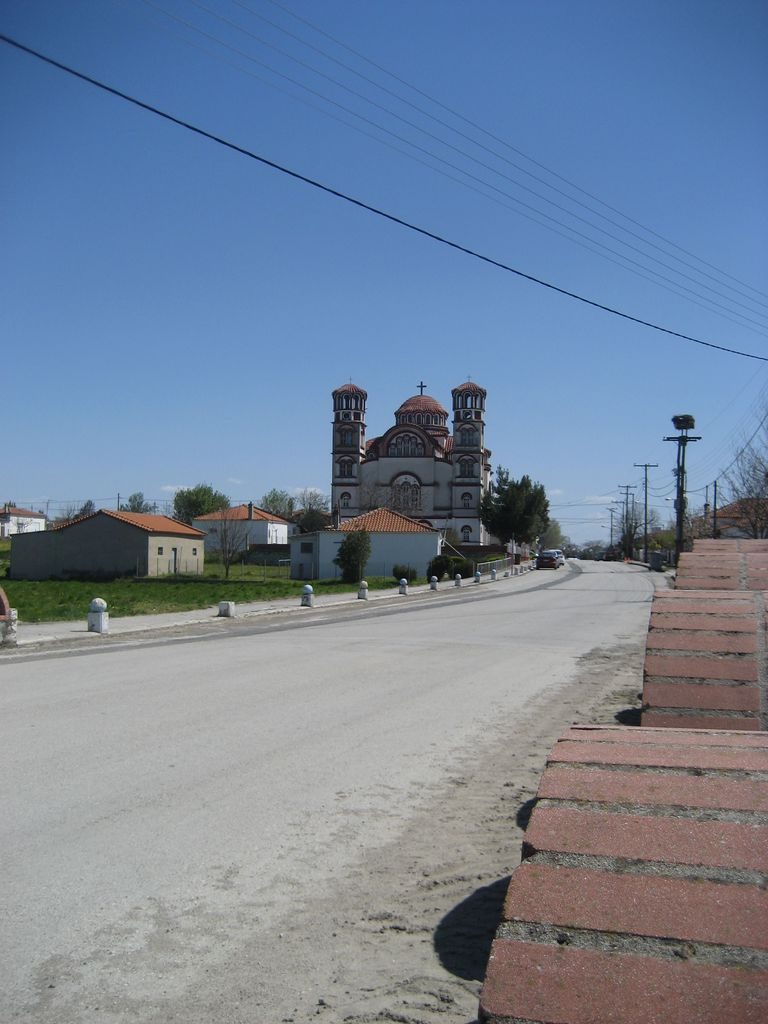
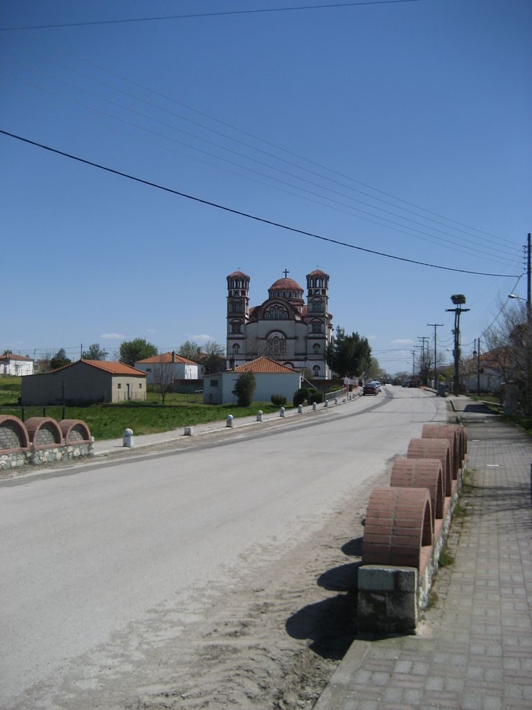
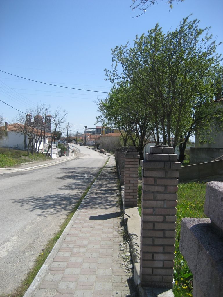
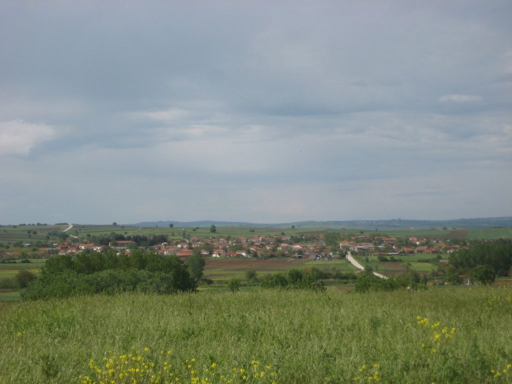
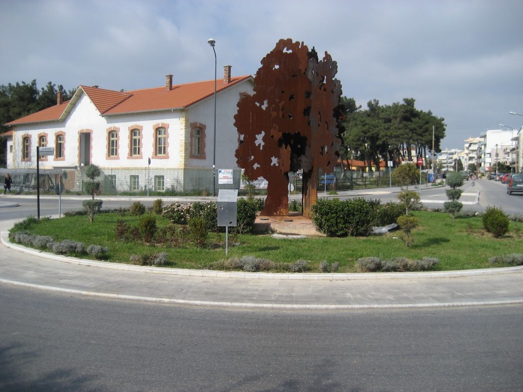
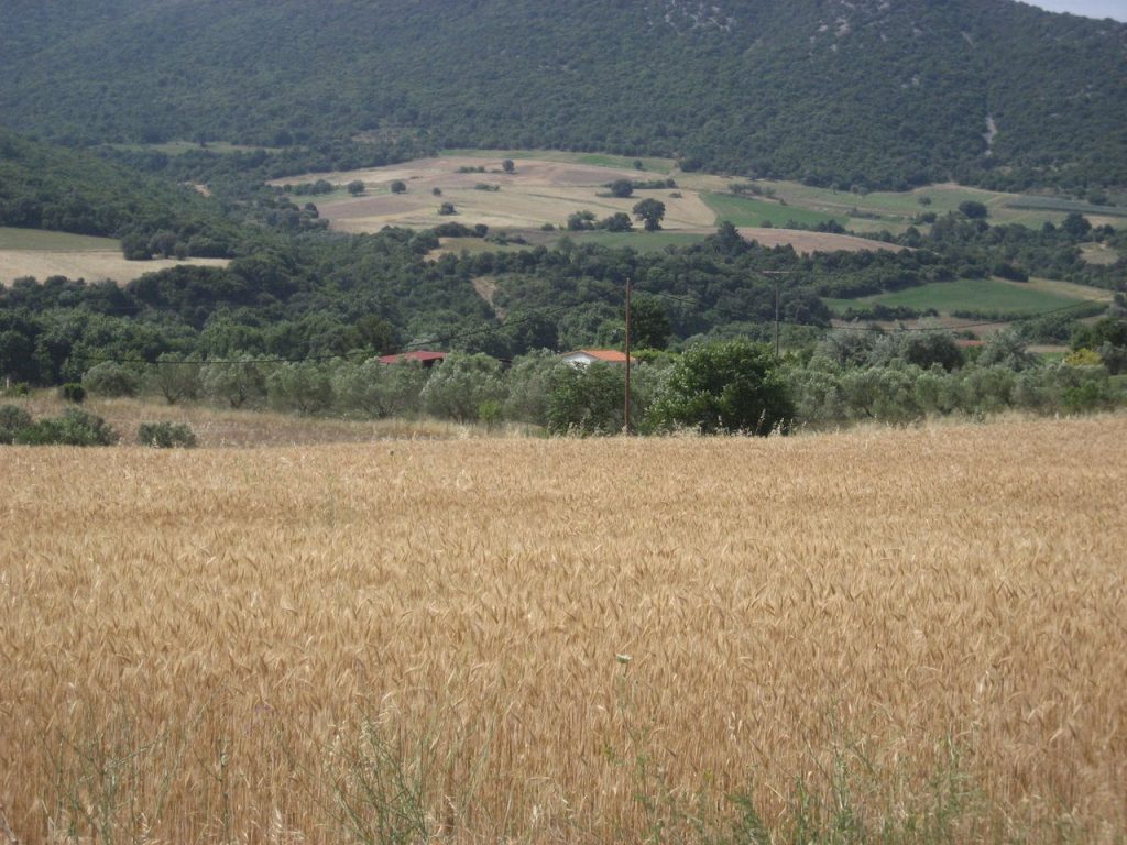
Tychero
Tychero is 49 kilometers from Alexandroupolis to the northwest. It is a pioneer in matters of crops and is located near the petrified forest. Read more
-
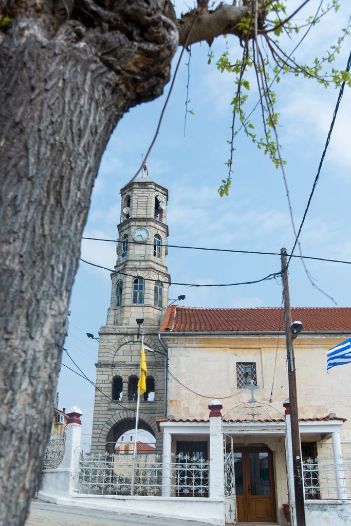
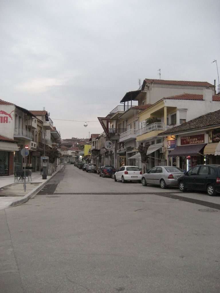
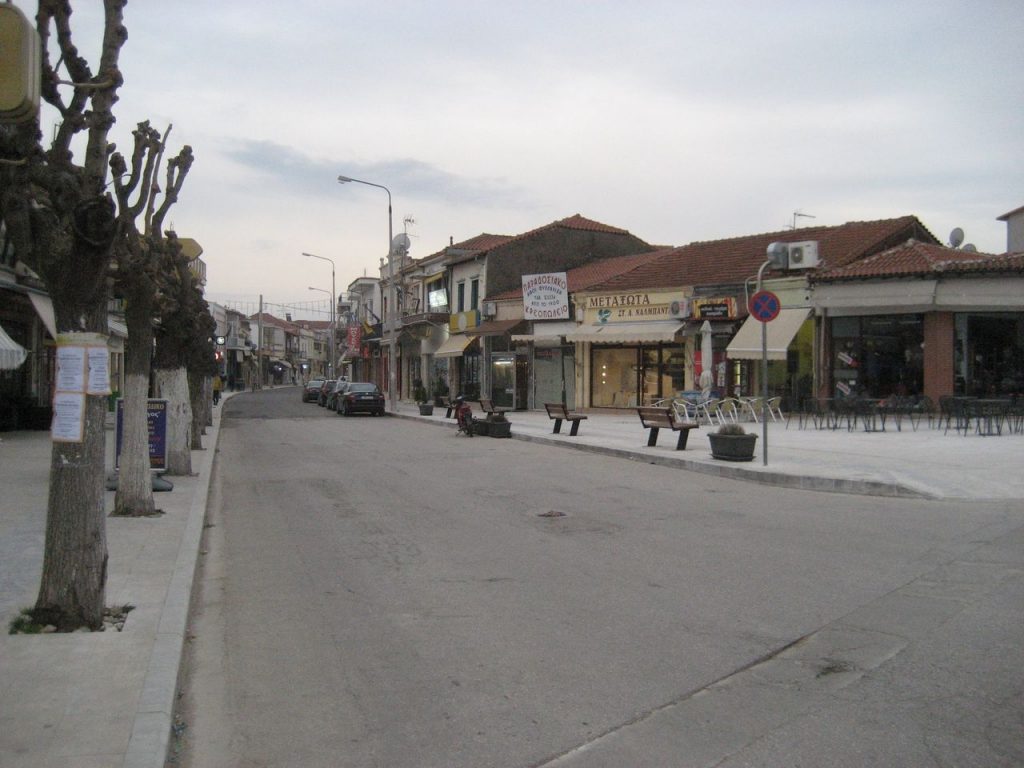
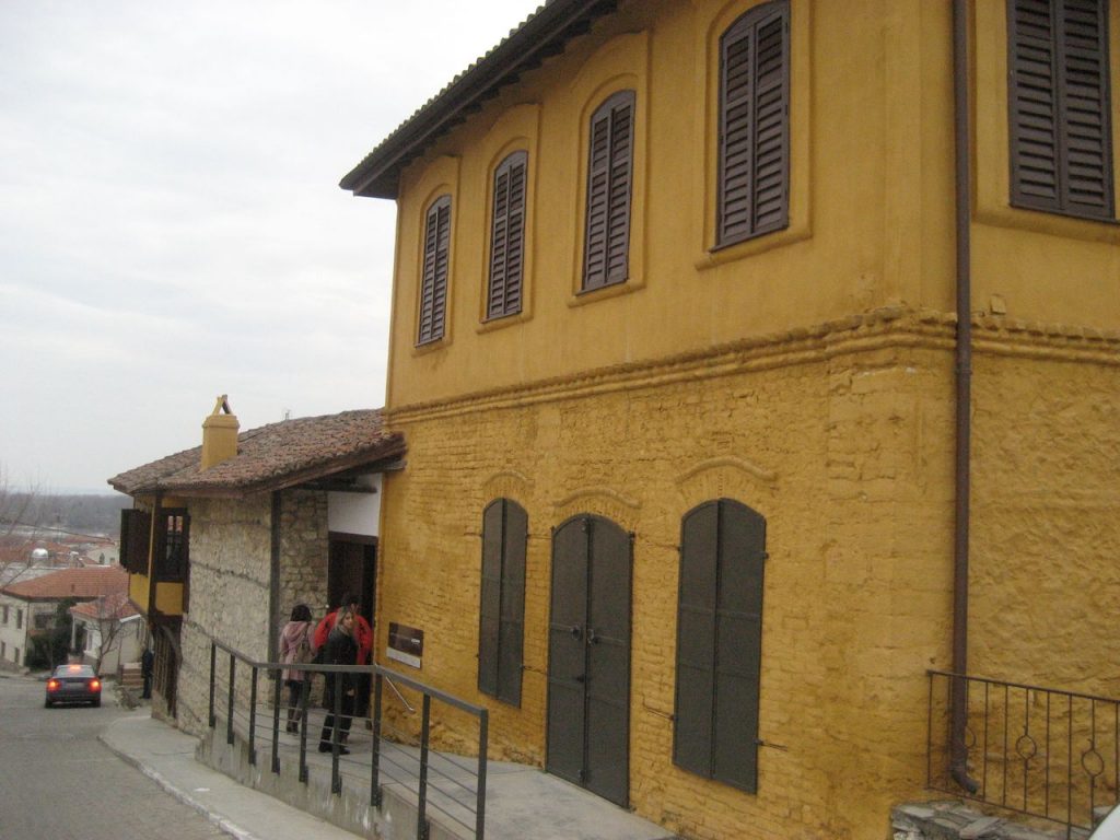
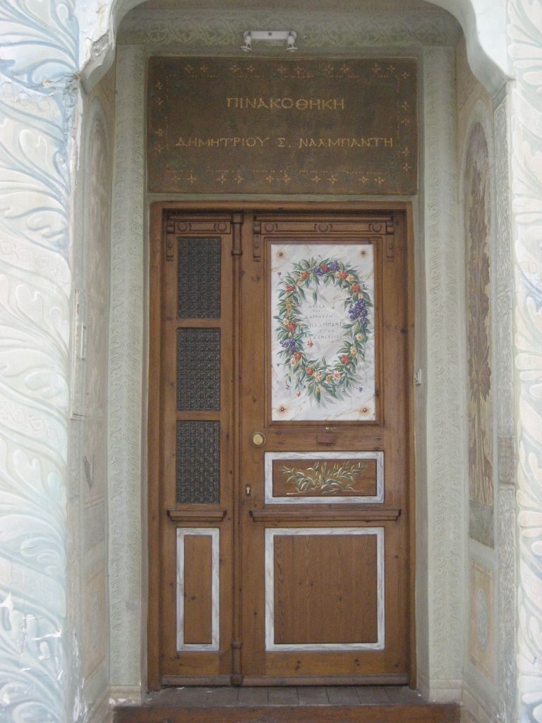
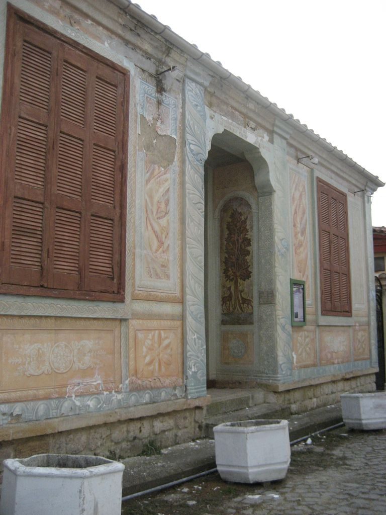
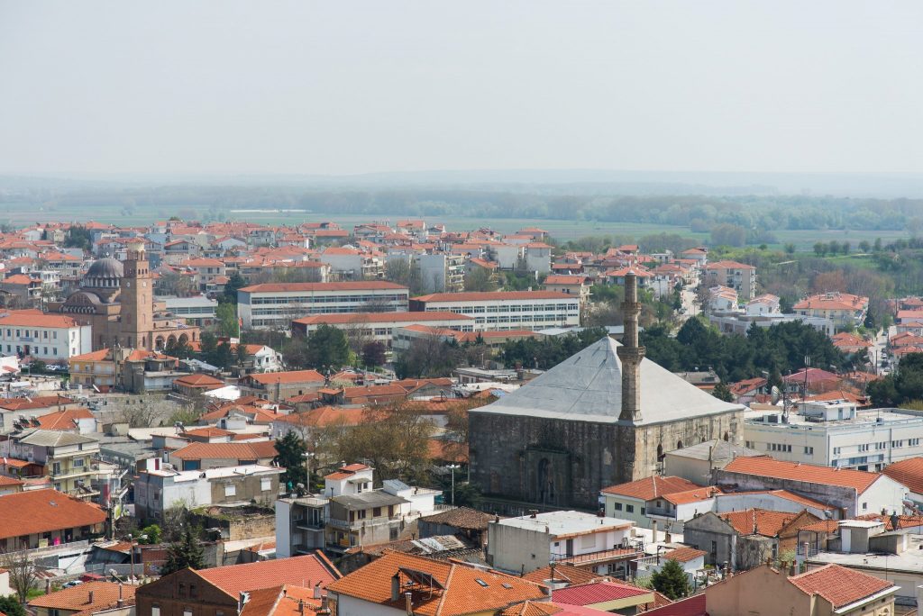
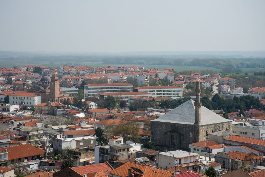
Soufli
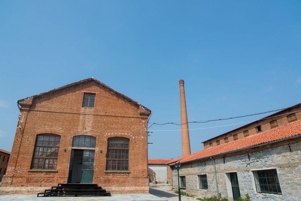
In Soufli, 65 kilometers from Alexandroupolis, there are many attractions of the 19th century, when the city prospered from the processing, production and sale of silk. Read more
-
-
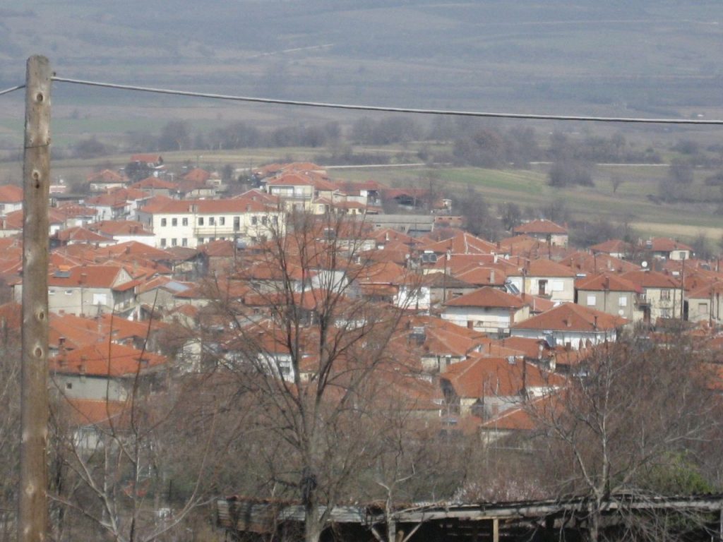
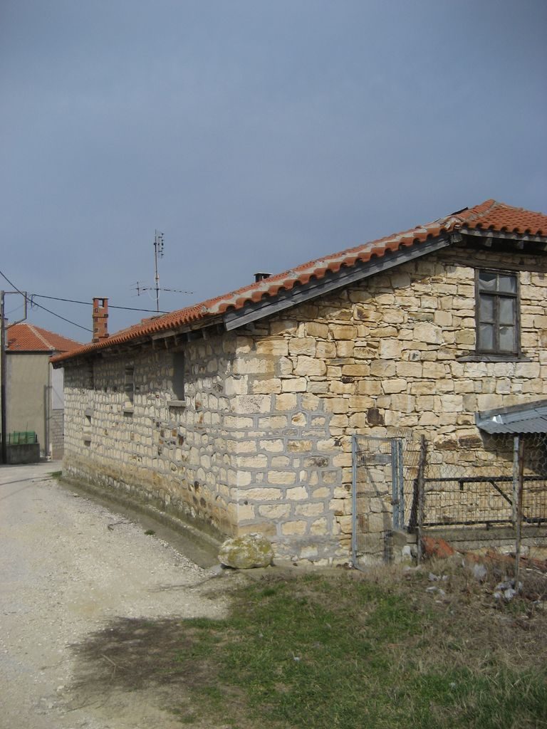
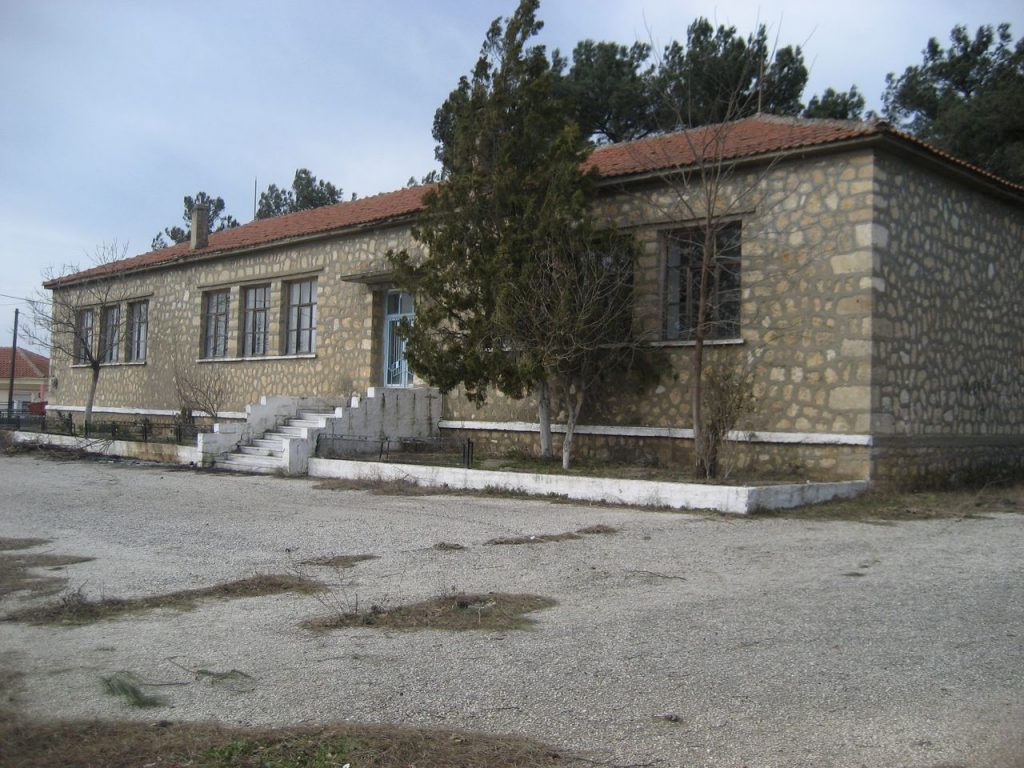
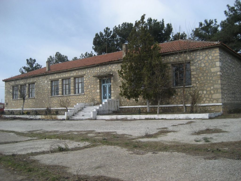
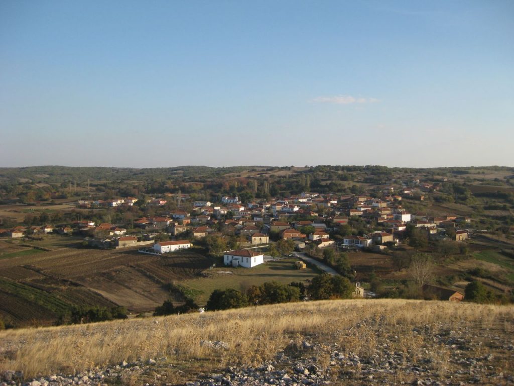
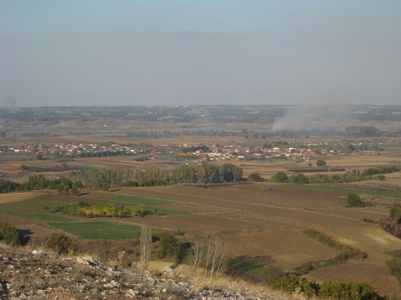
Sidiro
Sidiro, 25 kilometers northwest of Soufli, is a Pomak village, built in a lush environment. It has 465 residents, most of whom are Muslims. Read more
-
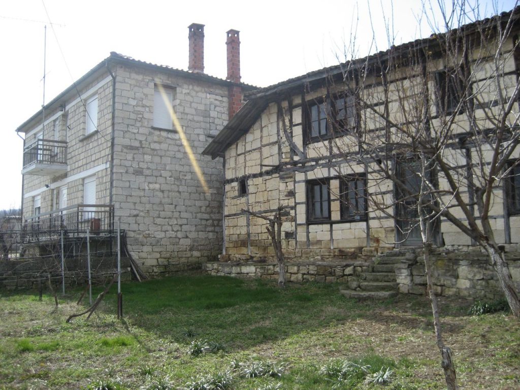
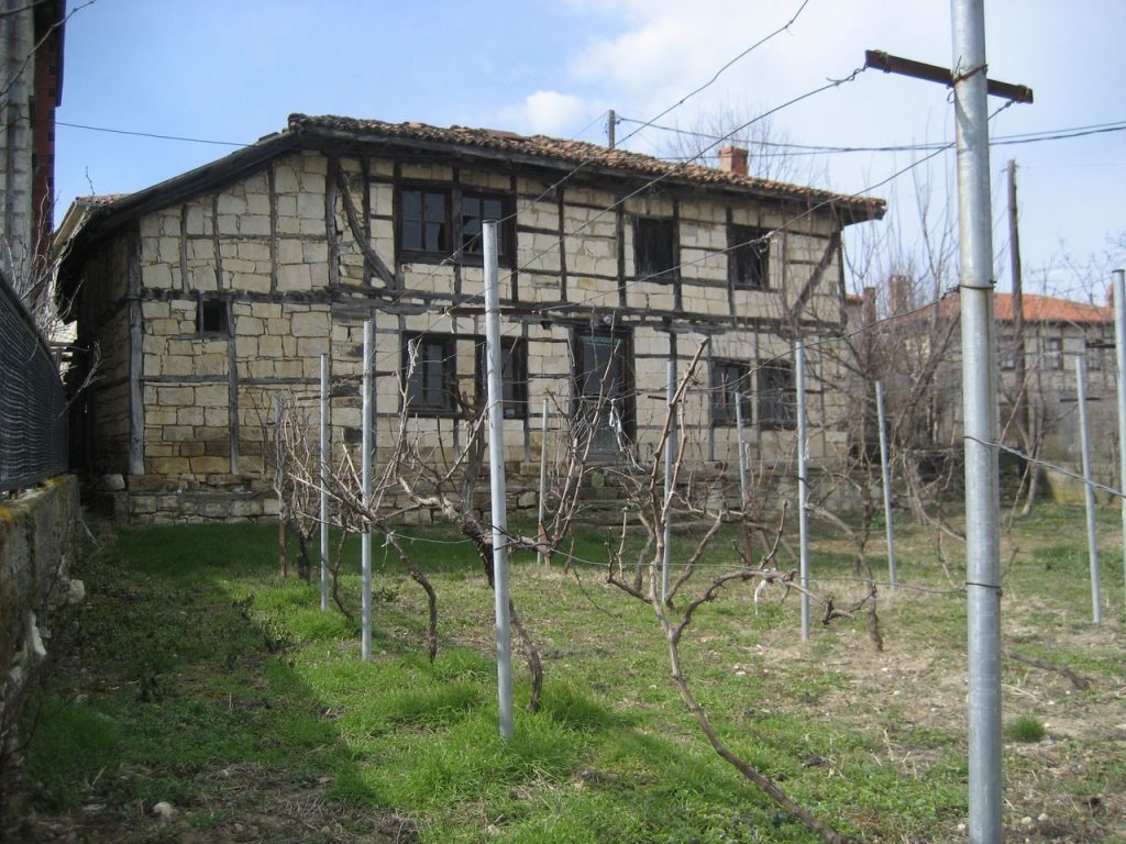
Sidirochori
Sidirochori, a big Pomak village in Evros is characterized by stone houses built at a distance from one another. It is 8 kilometers from Mega Dereio. Read more
-
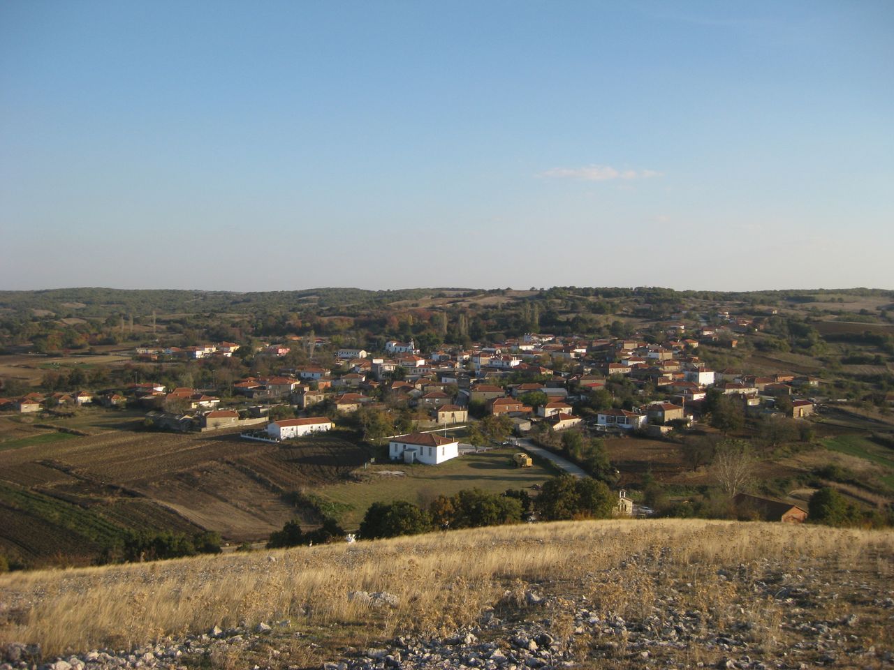
Roussa
Roussa is the best architecturally preserved village of Pomaks in Evros. Around the village s located the famous Tekke and the megalithic tombs of 1100 BC. Read more
-
Protokklisi
Outside the village of Protokklisi are found ruins of a prehistoric temple that are identified with the Temple of Pluto that Orpheus built in honor of his wife Eurydice. Read more
-
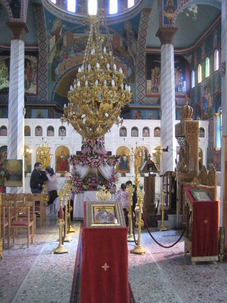
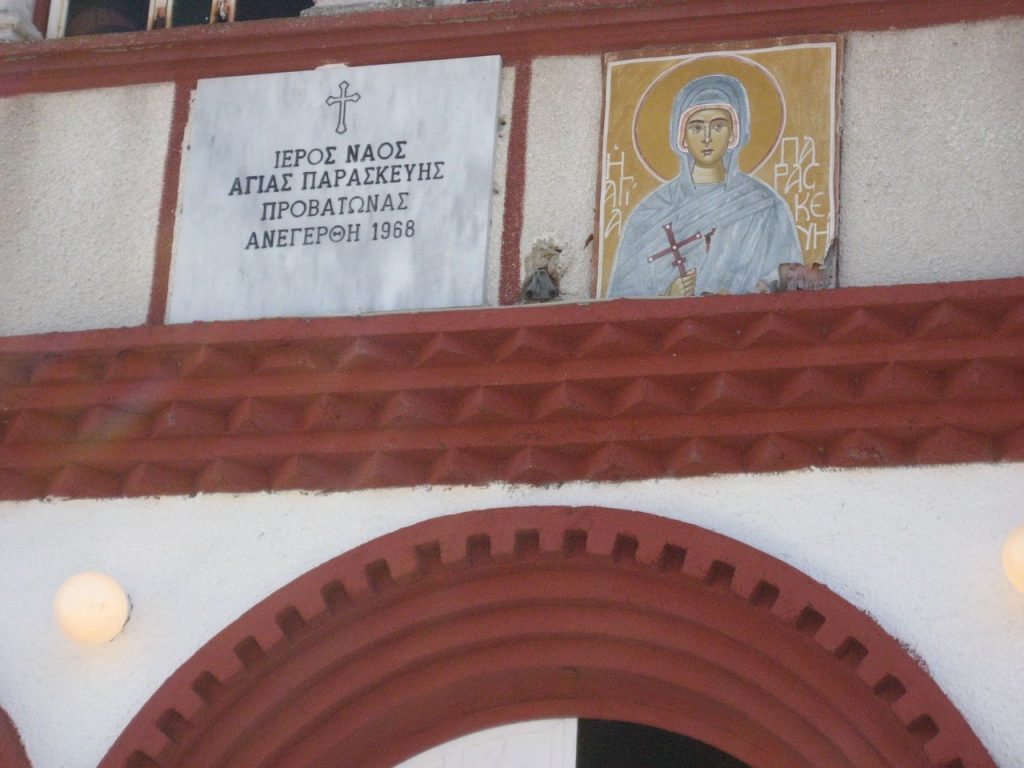
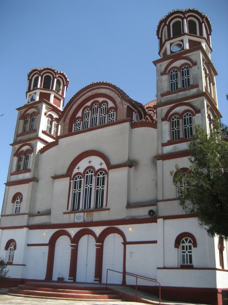
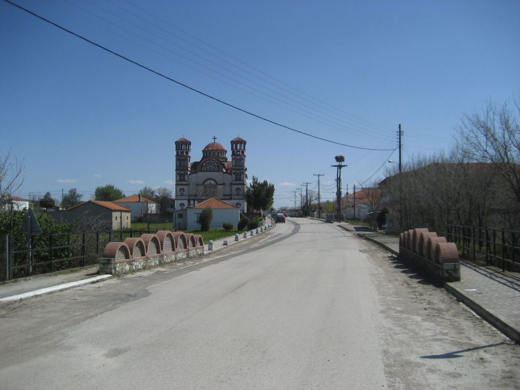
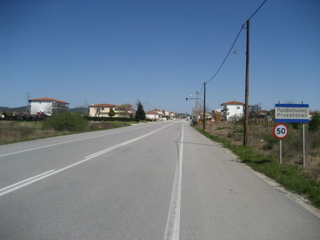
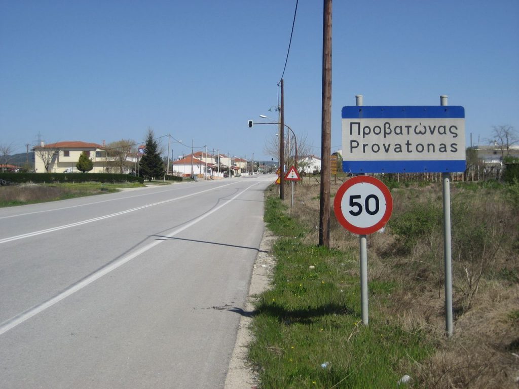
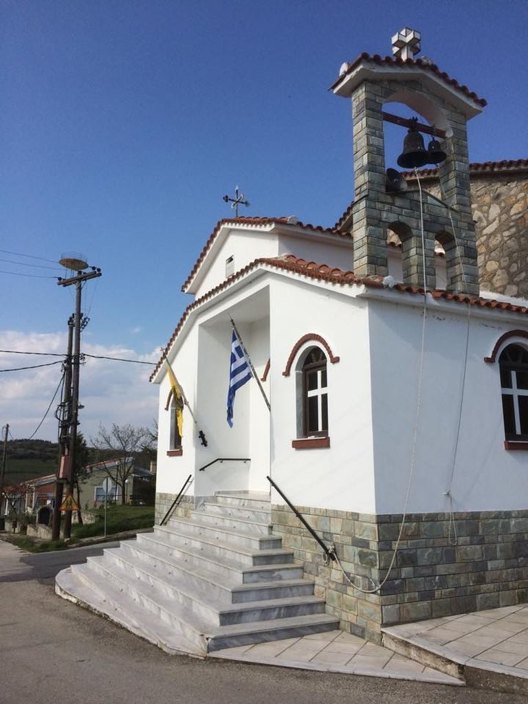
Provatonas
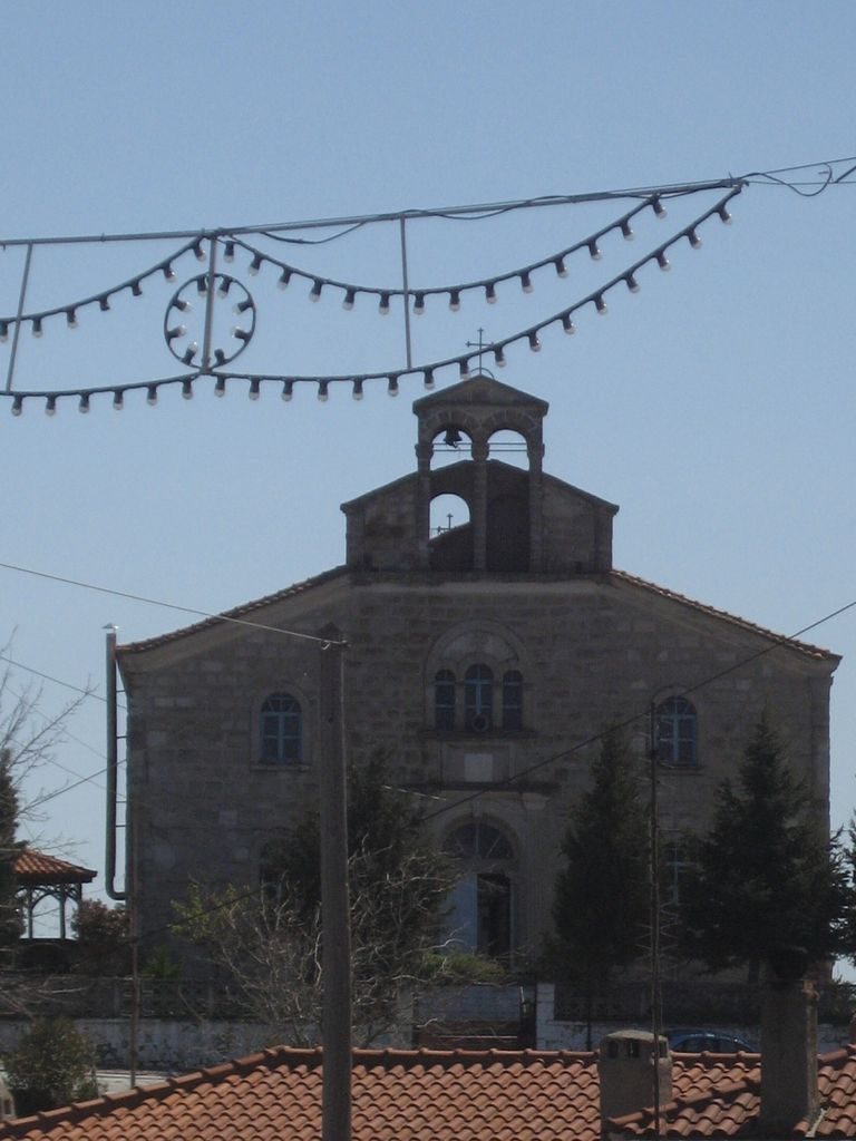
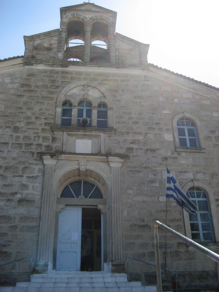
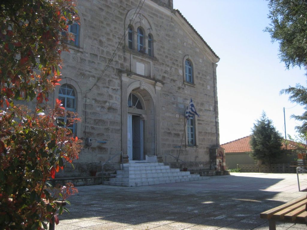
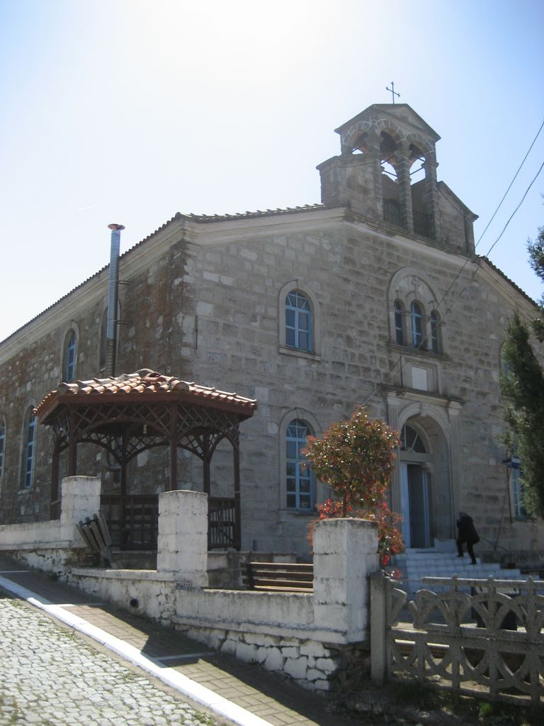
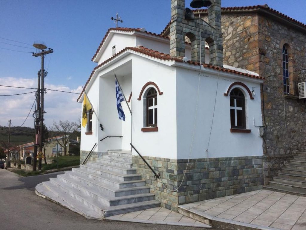
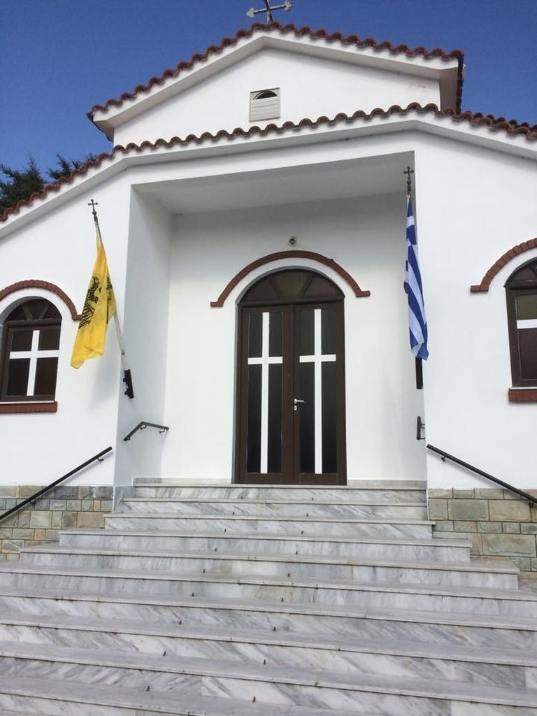
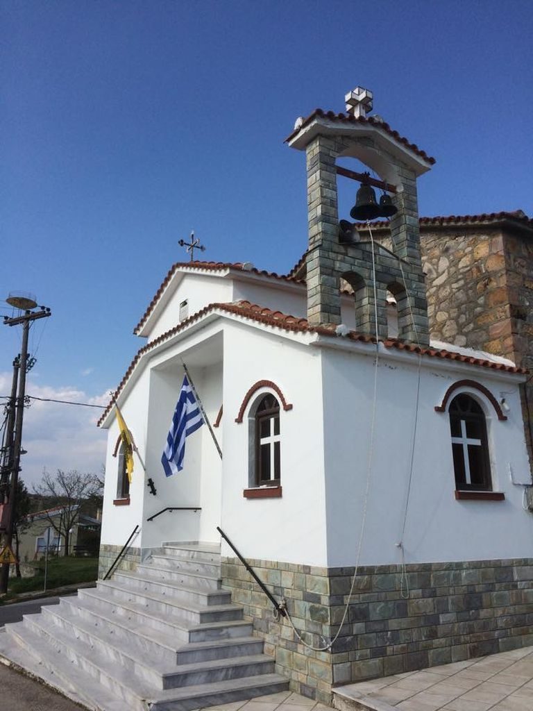
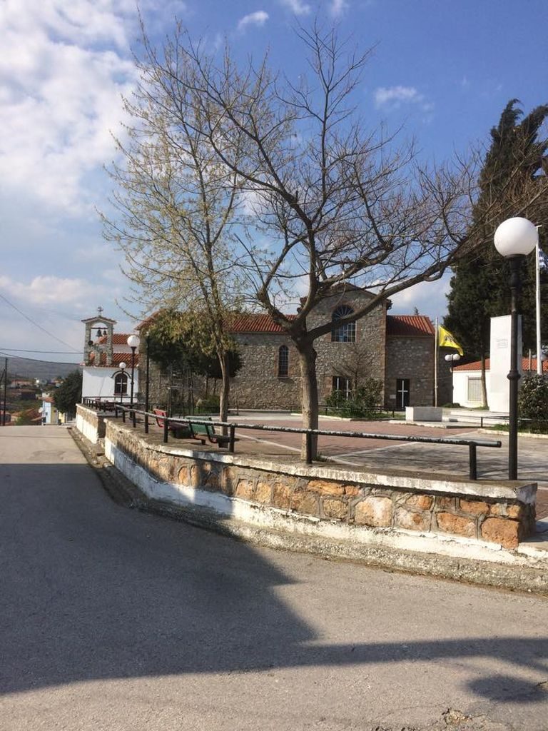
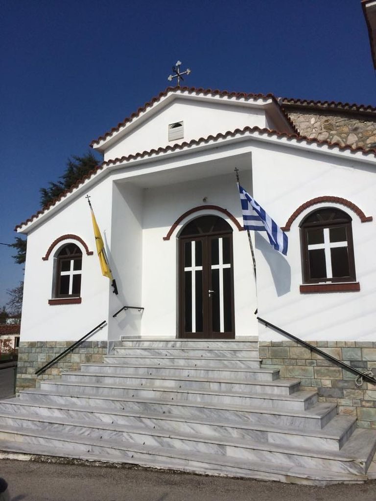
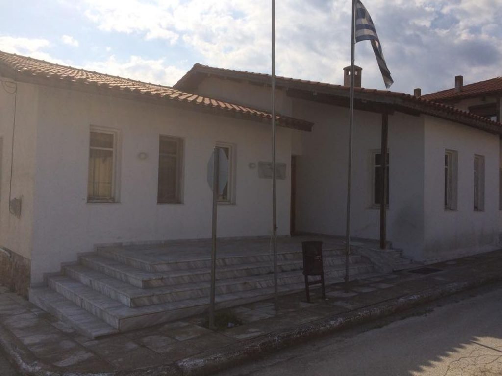
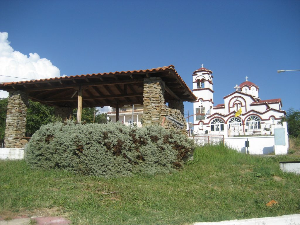
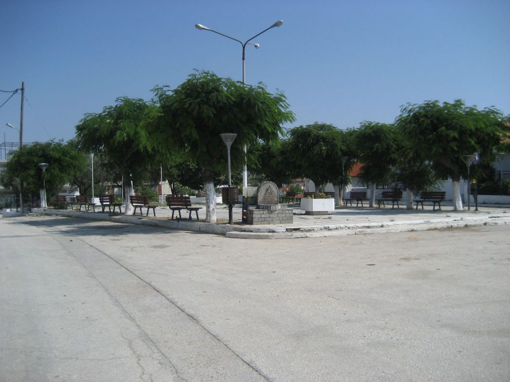
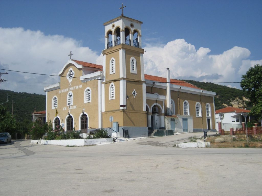
Provatonas is located on the national road linking the northern and southern Evros. At the square stands the magnificent church of Saint Paraskevi. Read more
-
-
Mikro Dereio
Mikro Dereio is located on the Greek-Bulgarian borders in the center of the prefecture of Evros. It is one of the few villages in the region that have a Christian population. Read more
-
Mandra
From Mandra of Evros begins a beautiful journey of 22 kilometers through a dense forest, which results in Mikro Dereio. Mandra is 9 kilometers from Soufli. Read more
-
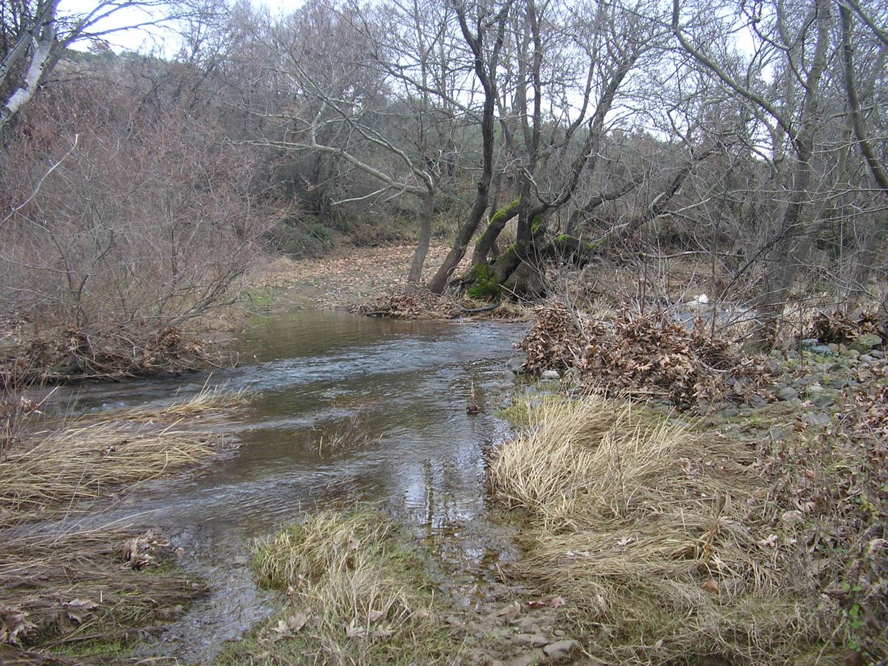
Lyra
The village of Lyra is built on the banks of Evros near the Dadia Forest. Its few inhabitants are engaged in agriculture and animal husbandry. Read more
-
Lykofos
In the village of Lykofos near Soufli operates a camping site amidst the lush hills. From the village starts a path to the Dadia Monastery. Read more
-
Lefkimmi
Lefkimmi, near the Evros River and the outskirts of the Dadia Forest constitutes a starting point for excursions to the great biotopes of the region. Read more
-
-
Lagyna
The village of Lagyna, 10 kilometers south of Soufli, is famous for its fish taverns, which serve freshwater fish from Evros, such as sazania (carps) and gouliani (catfish). Read more
-
Lavara

The village of Lavara is located on the national road that connects Soufli with Didymoteicho. It is a town with a long history since the Turkish rule. Read more
-
-
Kyriaki
Kyriaki of Evros is located in the middle of the route from Soufli to Pomak villages. The road is provincial but the landscape among the dense trees is impressive. Read more
-
Kotronia
Kotronia is surrounded by the Dadia Forest in Evros. It is a remote village with few of the houses being inhabited now. Read more
-
Korymvos
In Korymvos visitors can see the old church of Taxiarches, built in 1800, as well as the new one that replaced the old one and was built in 1983. Read more
-
Kornofolia
The settlement of Kornofolia is located just outside Soufli. Its monastery with the icon of Panagia Portaitissa attracts many pilgrims. Read more
-
Dadia
The village of Dadia, built at the entrance of the Dadia Forest, will be both a stop and a starting point for your tour in the forest that encompasses 73,000 acres. Read more
-
-
Goniko
Goniko is a big Pomak village in Evros, on the borders with Bulgaria. It has a minority primary school. Important tourist attraction are the rock paintings of 1100 BC. Read more
-
Amorio
Amorio, built on the banks of Evros is 7 km from Didymoteicho. In the village, there is a church of Saint Demetrius of 1921 as well as other temples. Read more
-
Chelidona
The settlement of Chelidona, on the borders with Bulgaria to the west, leads to the burial mound of Mikri Doxipara, one of the major attractions of Evros. Read more
-
Chandras
Chandras is a settlement of Evros, built in the valley between the rivers Ardas and Erythropotamos. In Chandras live 200 people (2011). Read more
-
Fylakio
Fylakio is a large village in northern Evros, built by the Ardas River. It is connected to the opposite bank by a bridge leading to the village of Elia. Read more
-
Sterna
Sterna is located in the north of the prefecture of Evros, 10 kilometers north of Orestiada. The inhabitants come, according to the tradition, from the Peloponnese. Read more
-
Rizia
Rizia, on the bank of Ardas next to Kastanies, is located in a natural environment of exceptional beauty and attracts many visitors to the beach of the river. Read more
-
Ptelea
The village of Ptelea in Evros is located just outside Ormenio. The inhabitants of the villages come from the modern Bulgaria. In the village operates a folklore museum. Read more
-
Plati
The village of Plati on the north bank of the Ardas River in Evros was created by the villagers of Bara and Gualia that do not exist today. Read more
-
Petrota
Petrota of Evros is a traditional village with stone houses located near the northern borders with Bulgaria. It is 50 kilometers from Orestiada. Read more
-
Pentalofos
Pentalofos near the northern borders of the country in Evros is a traditional village among vast plains and low hills. Read more
-
Patagi
Patagi, 10 kilometers southwest of Orestiada, has one of the most important religious sites in the region, the post-Byzantine church of Saint Nicholas. Read more
-
Palli
The settlement of Palli in Trigono of Evros is located on the main road linking Dikaia with Ormenio. It is 38 kilometers from Orestiada. Read more
-
Ormenio
Ormenio is the most northern inhabited settlement in Greece. Outside the village operates a customs office for the passing to Bulgaria and the town of Svilengrad. Read more
-
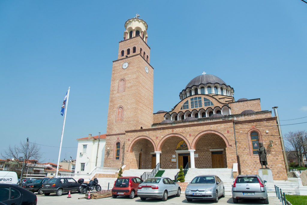
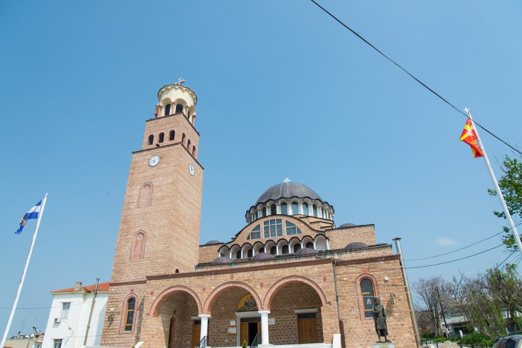
Orestiada
Orestiada is the second largest city of Evros. It is a modern city, built in 1923 by refugees of Karaağaç (Adrianoupolis). Read more
-
-
Neochori
Neochori, 7 kilometers west of Orestiada, is the head village of Marides, a group of indigenous Thracians living in 13 villages of the area of Erythropotamos. Read more
-
Neo Cheimonio
Neo Cheimonio, on the National Road Didymoteicho – Orestiada, was inhabited by refugees from Eastern Thrace, who came from the village of Megalo Zaloufi. Read more
-
Nea Vyssa
Nea Vyssa of Evros is the northernmost town in Greece. Its inhabitants come from refugees from the current Turkish town of Bosna near Adrianoupolis. Read more
-
Mikri Doxipara
Near Mikri Doxipara is located the unique, in Greece, burial mound of the 2nd century AD, where were found buried horses and carriages, which are excellently preserved. Read more
-
Milia
Milia is the last village in the west of the northern part of Evros, on the borders with Bulgaria. It is built on the Ardas River. Read more
-
Μαράσια
Τα Μαράσια στα βορειοανατολικά σύνορα της Ελλάδας βρέχονται από τον ποταμό Έβρο στα βόρεια και από τον ποταμό Άρδα στα νότια. Απέναντι από τα Μαράσια, βρίσκονται οι Καστανιές, με έναν τσιμεντένιο διάδρομο που περνάει μέσα από τον Άρδα να ενώνει τα δύο χωριά κατά τους θερινούς μήνες (η κανονική διέλευση από τη μια όχθη στην άλλη γίνεται από τον εθνικό δρόμο που περνάει λίγο έξω από τα Μαράσια). Read more
-
Marasia
Marasia in Evros is known for the “Lady of Marasia”, Vasiliki Lampidis, who has been hoisting the Greek flag for 50 years at the border outpost. Read more
-
Κυπρίνος
Ο Κυπρίνος στον Έβρο είναι μεγάλο κεφαλοχώρι στη νότια όχθη του ποταμού Άρδα. Στον Κυπρίνο υπάρχουν δημόσιες υπηρεσίες, καταστήματα, ξενώνες και ενοικιαζόμενα δωμάτια για τους επισκέπτες που θέλουν να απολαύσουν και να εξερευνήσουν την φύση της περιοχής. Read more
-
Kyprinos
Kyprinos is one of the largest villages on the banks of the Ardas River. The dam and the river bridge that connects the two banks are located at a distance of 8 kilometers. Read more
-
Κριός
Το χωριό Κριός βρίσκεται πάνω στον δρόμο που συνδέει τις Καστανιές με το Ορμένιο. Όπως και στα περισσότερα χωριά του Έβρου, οι κάτοικοι του Κριού ήρθαν ως πρόσφυγες το 1923 μετά την Μικρασιατική καταστροφή και την ανταλλαγή των πληθυσμών. Το πατρογονικό χωριό τους ήταν το Ορτακτσί της Αδριανούπολης. Read more
-
-
Krios
Krios is located in Trigono of Evros, in the valley between the rivers Ardas and Evros. Its residents arrived in 1923 from the village Ortakci of Adrianoupolis. Read more
-
Κόμαρα
Τα Κόμαρα βρίσκονται στον Έβρο, στην βόρεια όχθη του ποταμού Άρδα και είναι ένα από τα μεγαλύτερα χωριά της περιοχής. Η δημιουργία του σημερινού χωριού των Κομάρων τοποθετείται χρονολογικά περίπου το 1780-1790. Ήταν τότε τσιφλίκι ενός Αγά, στο οποίο εργάζονταν Έλληνες από την Αδριανούπολη, το Ορτάκιοϊ και την βόρεια Θράκη. Η ονομασία Κόμαρα-Κομαρλί προέρχεται από την τούρκικη φράση Κουμ Αρεσί, που στα ελληνικά σημαίνει «μεταξύ άμμων». Read more
-
Komara
Komara is one of the biggest villages in the area of Trigono, the first one someone encounters when passes the Ardas bridge towards Ormenio. Read more
-
Κέραμος
Το χωριό Κέραμος βρίσκεται στον Έβρο, κοντά στον ποταμό Άρδα, στη νότια όχθη του, ανάμεσα από τα χωριά Ρίζια στα ανατολικά και Φυλάκιο στα δυτικά. Η τοποθεσία του χωριού ήταν πέρασμα από πολύ παλιά γιατί βρισκόταν πάνω στη διαδρομή Φιλιππούπολη-Αδριανούπολη-Κωνσταντινούπολη που για αιώνες ένωνε τις τρεις κύριες πόλεις της βυζαντινής Θράκης. Read more
-
Keramos
Keramos is located on the south bank of the Ardas River in Evros. It has about 250 inhabitants engaged in agriculture (cereals, corn, sugar beet, cotton). Read more
-
Καστανιές
Οι Καστανιές στον Έβρο έχουν σηματοδοτηθεί ως το βορειοανατολικότερο σύνορο της Ελλάδας. Είναι χτισμένες στις όχθες του Άρδα, παραπόταμου του Έβρου, μέσα σε ένα τοπίο εξαιρετικής φυσικής ομορφιάς. Read more
-
Kastanies
Kastanies, the northeastern road border of the country, is located on the banks of the Ardas River, in a beautiful natural environment with water being the dominant element. Read more
-
Καναδάς
Το χωριό Καναδάς βρίσκεται στον νομό Έβρου, στη βόρεια όχθη του ποταμού Άρδα, σε έναν καταπράσινο κάμπο. Συνορεύει στα ανατολικά με το χωριό Μαράσια και στα δυτικά με το χωριό του Άρζου. Από τα αξιοθέατα του Καναδά είναι ο τσιμεντένιος διάδρομος που συνδέει τις δύο όχθες του Άρδα και οδηγεί στο απέναντι χωριό, τα Ρίζια και που η διέλευσή του είναι δυνατή κατά τους θερινές μήνες, που η στάθμη του νερού κατεβαίνει. Read more
-
Kanadas
From Kanadas village to the bank of the Ardas River, during the summer months you can cross the concrete road that passes through the water and leads to Rizia. Read more
-
Καβύλη
Η Καβύλη είναι μεγάλος οικισμός έξω από τη Νέα Βύσσα στον Έβρο. Πρόκειται για προσφυγικό συνοικισμό με τους κατοίκους της να έρχονται από τα χωριά Ντεμιρντές (Σιδηρόπετρα) και Αμπαλάρ (Ζαλουφόπουλο) της Ανατολικής Θράκης. Η παλιά ονομασία του χωριού ήταν Εμιρλί και κατοικούνταν μόνο από Τούρκους. Η Καβύλη αποτελούσε την έδρα του εμίρη και διέθετε τζαμί, καθώς και στρατόπεδο, στο οποίο βρισκόταν σύνταγμα ιππικού του τουρκικού στρατού. Πιθανολογείται ότι ονομάστηκε έτσι από τον οθωμανικό βαθμό του εμίρη. Άλλες εκδοχές φέρουν ως πηγή της ονομασίας του χωριού, τουρκικές λέξεις όπως ουμιρλί (= διαταγή) ή εμίρ (= μακροζωία). Read more
-
Kavyli
Kavyli is located on the National road that connects Orestiada, Kastanies and Nea Vyssa. It is a big village and its residents are engaged in agriculture. Read more
-
Θούριο
Το Θούριο βρίσκεται στο βόρειο τμήμα του νομού Έβρου, ανάμεσα στο Διδυμότειχο και την Ορεστιάδα, κοντά στην όχθη του ποταμού Έβρου. Είναι μεγάλο χωριό, με περίπου 700 κατοίκους και διαθέτει μαγαζιά, σούπερ μάρκετ, φαρμακεία, φούρνους κ.λπ. Read more
-
Thourio
Thourio is located in the northern Evros between Orestiada and Didymoteicho. In this settlement, you will find shops for essentials, food, medicines, etc. Read more
-
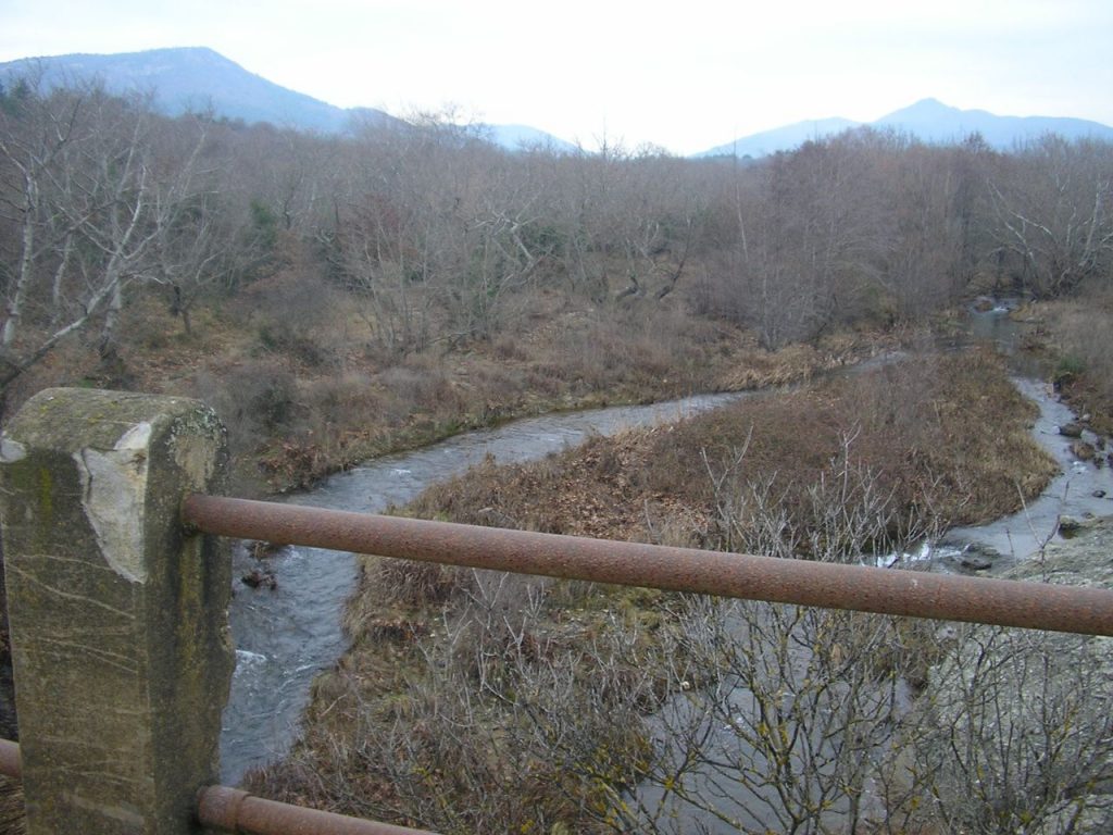
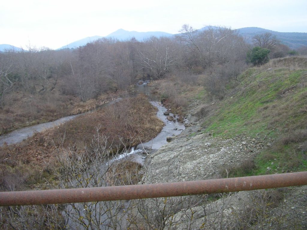
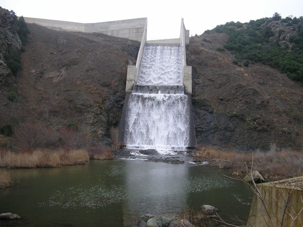
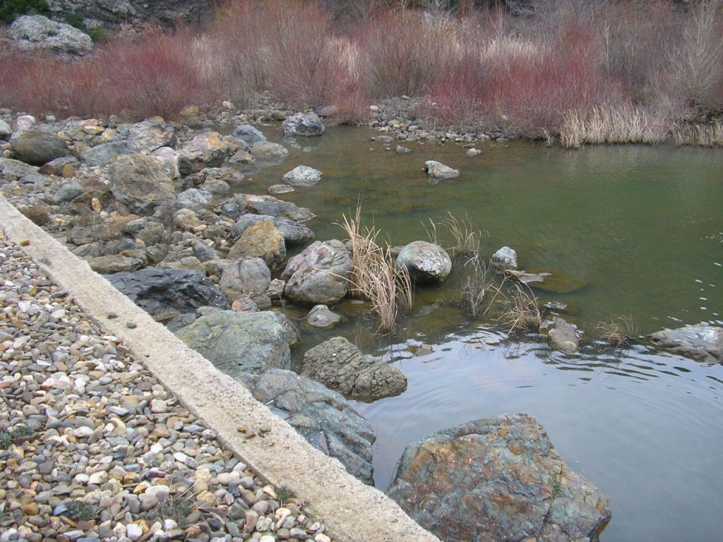
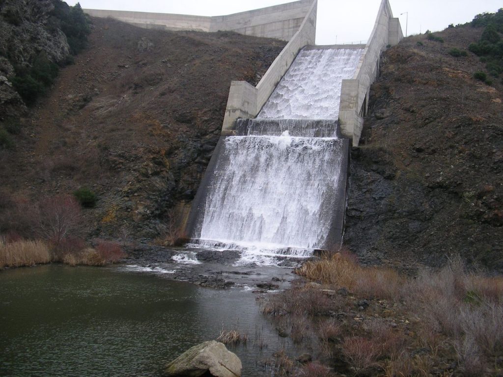
Therapio
Near Therapio, on the north bank of the Ardas River in Evros, there is the dam of the river and a bridge that connects one bank to another for pedestrians and cars. Read more
-
Ζώνη
Ο οικισμός Ζώνη στο βόρειο τμήμα του Έβρου βρίσκεται κοντά στα σύνορα με την Βουλγαρία, νότια του χωριού Κυπρίνος και ανατολικά του Ιβαϊλοβγκραντ της Βουλγαρίας. Η ονομασία του οφείλεται στην αρχαία Ζώνη, την πόλη των Κικόνων στη Θρακική παραλία απέναντι από την Σαμοθράκη. Στον οικισμό λειτουργούσαν παλαιότερα τέσσερις νερόμυλοι, ενώ το σύνολο του πληθυσμού της Ζώνης είναι πρόσφυγες. Read more
-
Zoni
In the area among the villages Zoni, Mikri Doxipara and Chelidona there is a burial tomb at which visitors can see buried carriages and horses. Read more
-
Elaia
Elaia or Elia is a riverside settlement on the north bank of Ardas. A 500 meter long bridge leads to the opposite village, Fylakio. Read more
-
Dilofos
Dilofos, 32 kilometers from Orestiada, is located at the Triethnes of Evros. Here meet the borders of Greece, Turkey and Bulgaria. Read more
-
Dikaia
Dikaia in Evros is located at the north end of Greece on the borders with Bulgaria. Dikaia mark the end of the railway on Greek soil. Read more
-
Galini
Galini is an abandoned settlement on the borders with Bulgaria. It is the first village the Ardas River encounters after entering the Greek territory. Read more
-
Valtos
You will encounter the village of Valtos in the middle of the route from Orestiada to the unique, due to the buried carriages and horses, burial mound of Doxipara. Read more
-
Arzos
The village of Ardas is built on the north bank of the Ardas River in northern Evros, in a natural landscape of exceptional beauty with many trees and running waters. Read more
-
Ampelakia
Ampelakia is a hilly village whose residents are mostly engaged in agriculture. Its residents come from Marides, an ancient Thracian tribe. Read more
-
Ammovouno
Ammovouno on the banks of Ardas River in Evros is located between the villages Kyprinos and Fylakio. Its residents come from the tribe of Gagauz. Read more
-
Chionades
Chionades in the area of Metaxades is the village at the highest altitude in the region and is very often covered with snow during the winter months. Read more
-
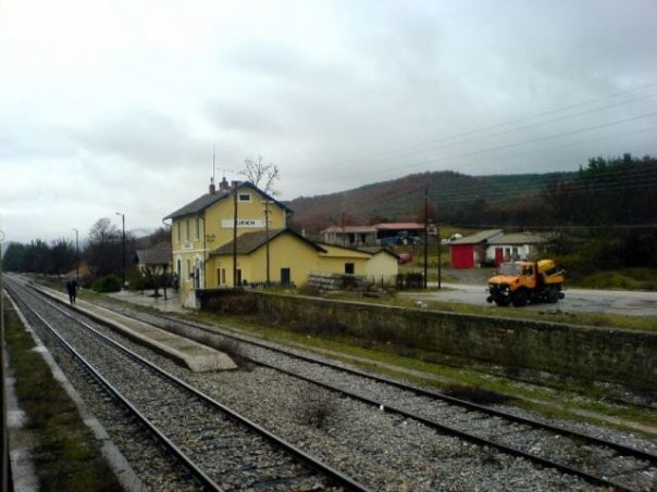
Stathmos
In the village of Stathmos is located the railway station of Pythio. It presents a special architecture due to buildings built in 1920 by the French administration of trains. Read more
-
Sofiko
Sofiko was created by the refugees of the villages Lili and Costi of Eastern Thrace in 1923. It is located after Pythio, on the way to Orestiada. Read more
-
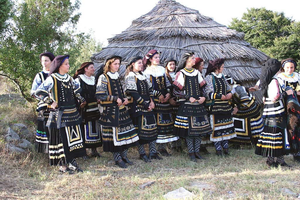
Sitochori
Sitochori in the center of Northern Evros is one of the villages of Marides, indigenous Thracians that have common cultural features and particular costumes. Read more
-
Savra
The village of Savra is located on a green hillside on the bank of Erythropotamos, 17 kilometers west of Didymoteicho. Read more
-
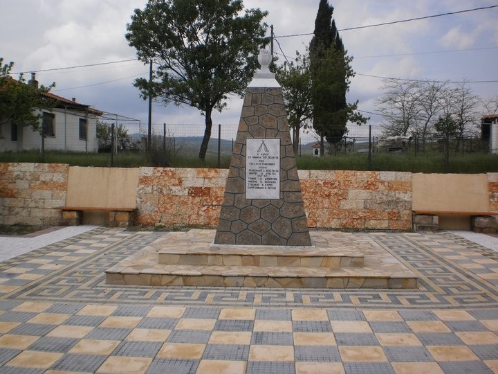
Rigio
In Rigio of Evros have been discovered three tombs that seem to have many similarities with the large cist tombs of Macedonia. Read more
-
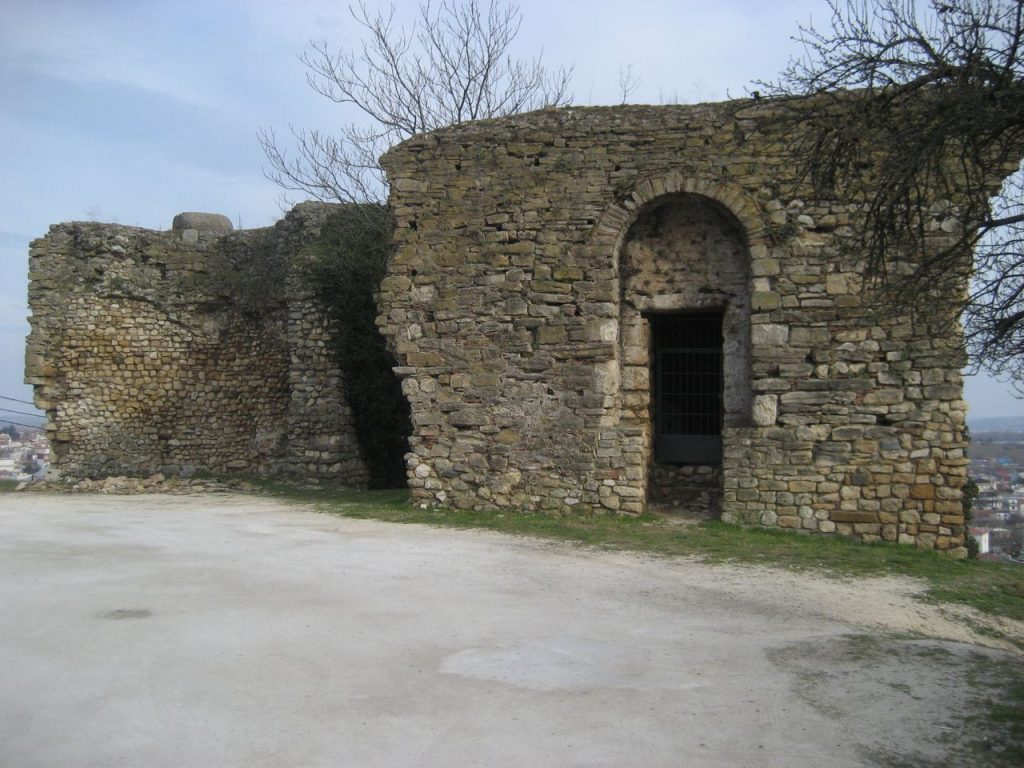
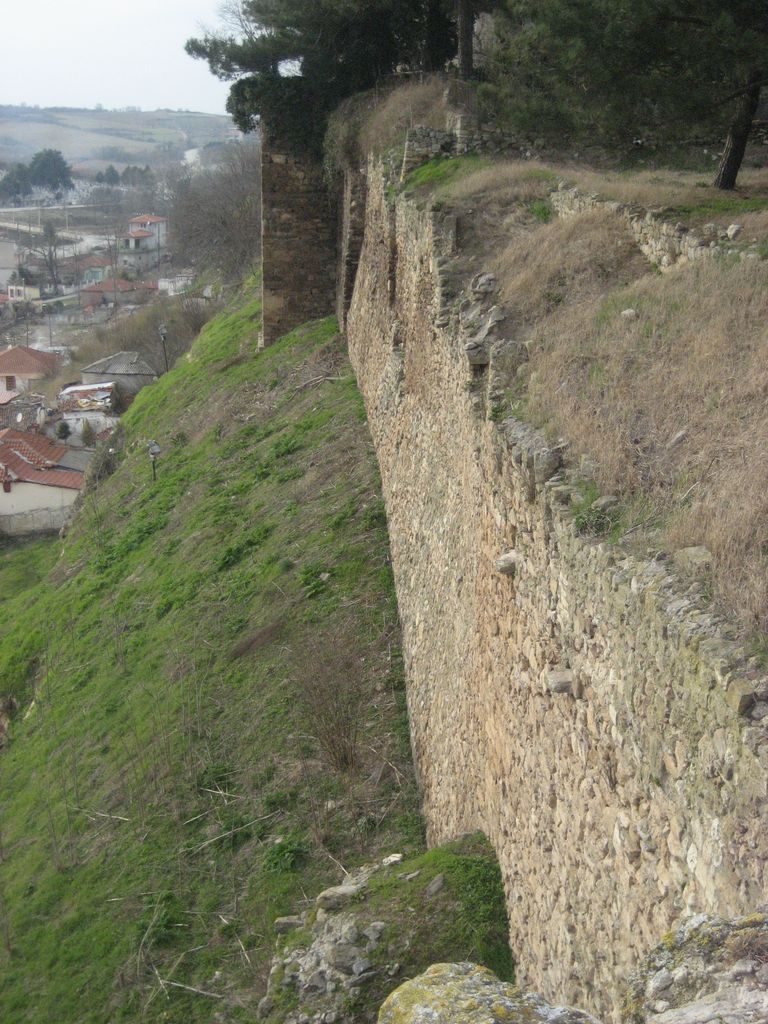
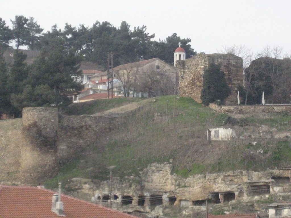
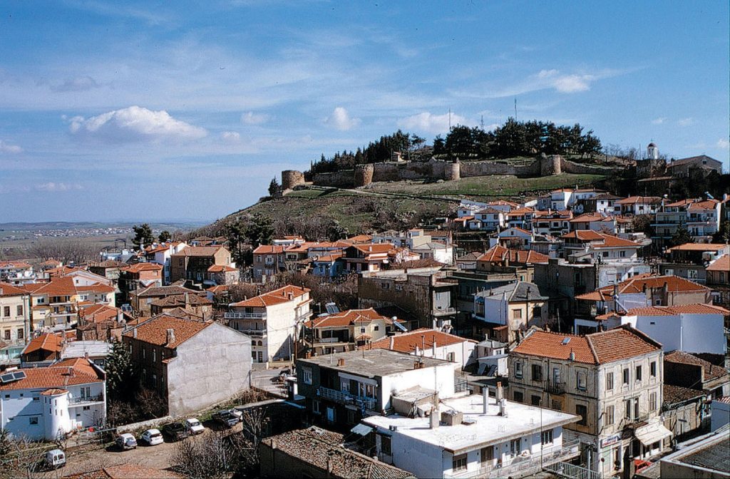
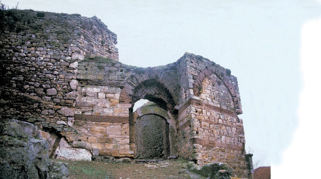
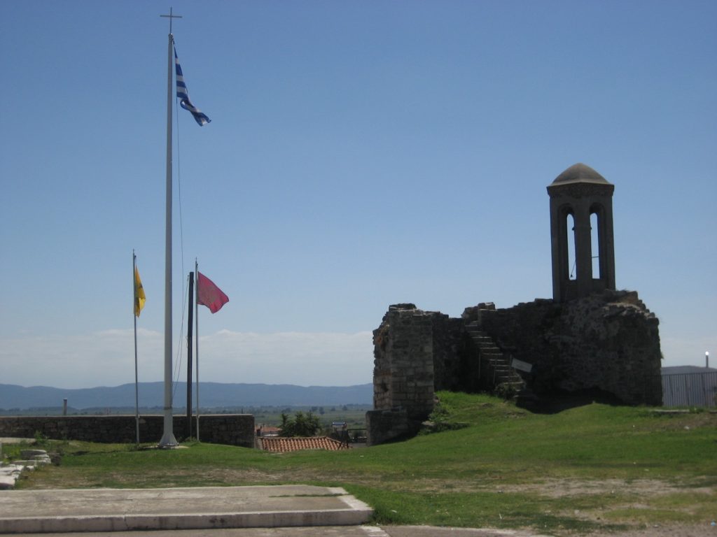
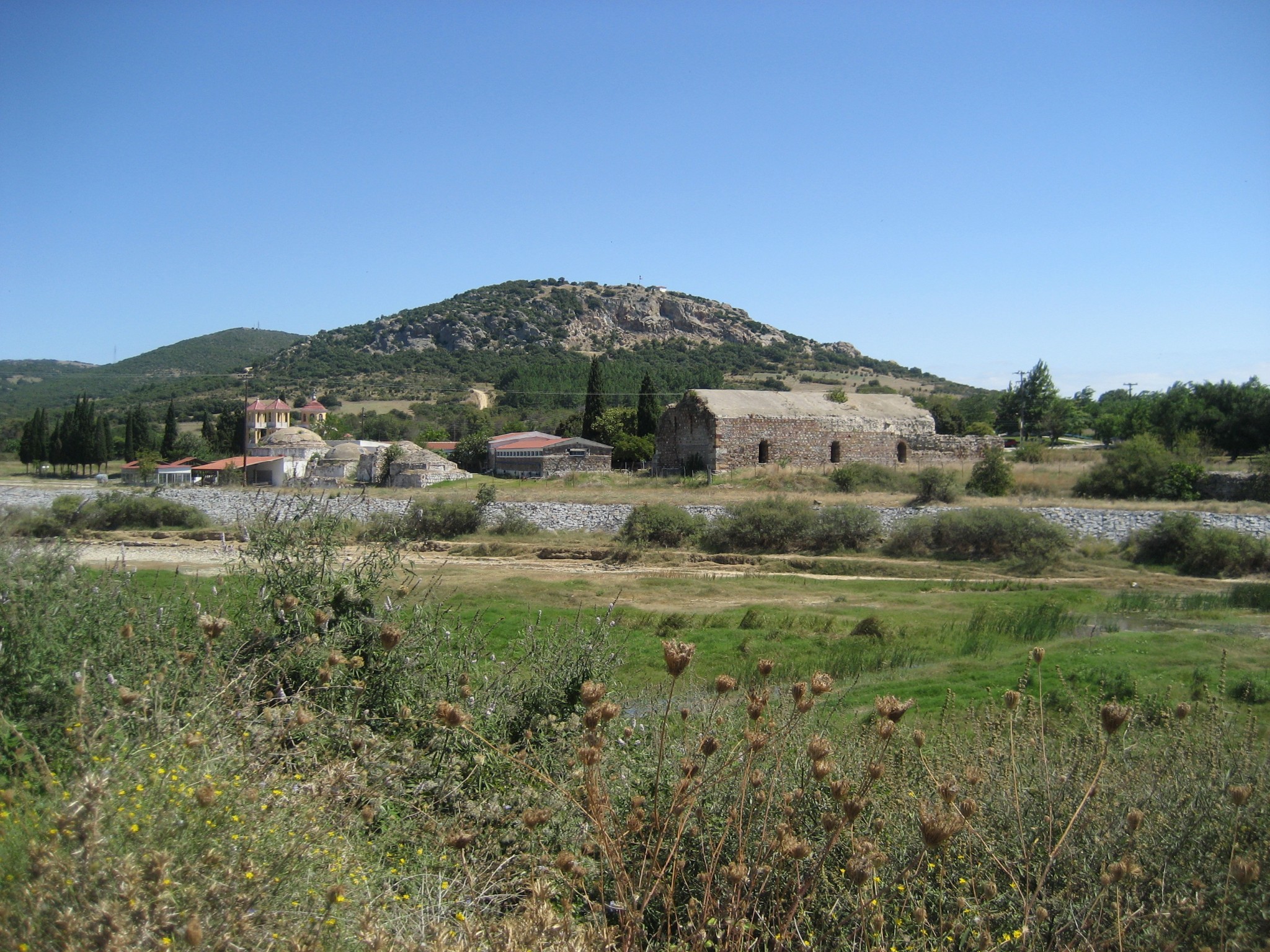
Pythio
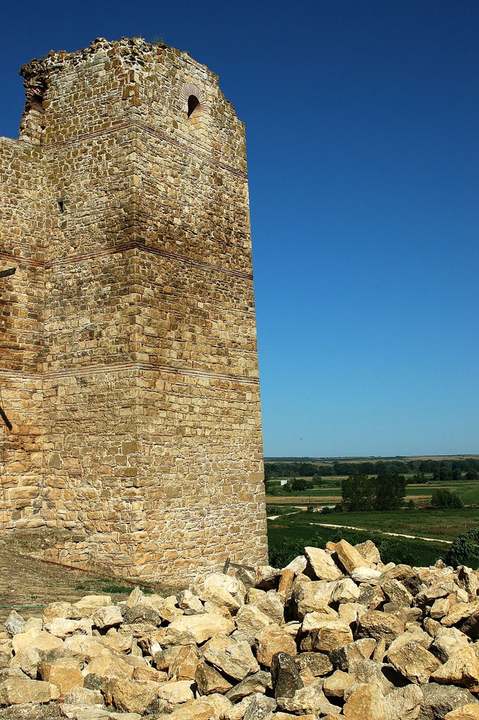
Pythio in Evros is known for its Byzantine castle with its two towers surviving until today in very good condition. Read more
-
-
Prangi
Prangi of Evros is located on the banks of the Evros River, 1.5 km from Turkey in an area with vast meadows. Read more
-
Polia
Polia is a settlement of the Northern Evros very close to the Greek-Bulgarian borders. It is built in the valley of Erythropotamos, close to Metaxades. Read more
-
Poimeniko
The village of Poimeniko is located 13 kilometers southwest of Orestiada. The inhabitants belong to the tribe of Marides, who derived from the ancient Thracians. Read more
-
Petrades
Petrades in Evros is a traditional village, very close to Turkey. Along with Pythio, they are the easternmost land border of the country. Read more
-
Paliouri
Paliouri is one of the most picturesque villages of the northeastern Evros. The traditional stone houses have been standing there since the Ottoman era. Read more
-
Neoi Psathades
Neoi Psathades, settlement in Didymoteicho, was created by refugees of Psathades of Eastern Thrace and is just 4 kilometers away from their old village. Read more
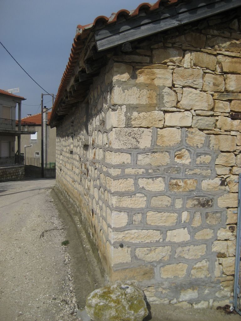
-
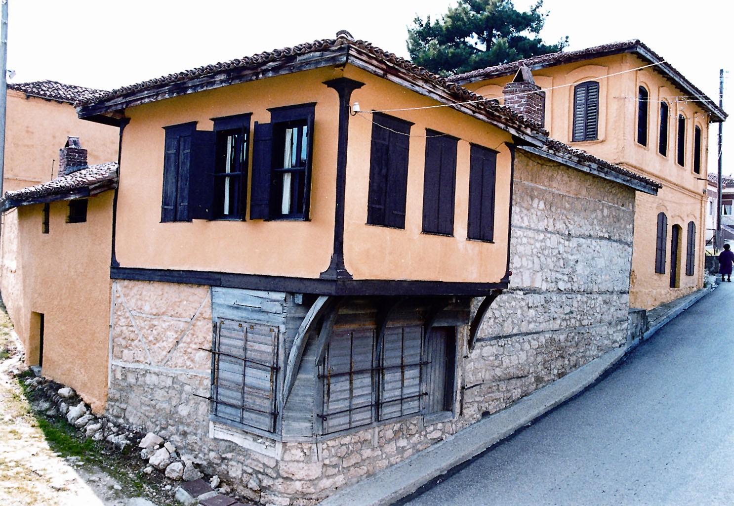
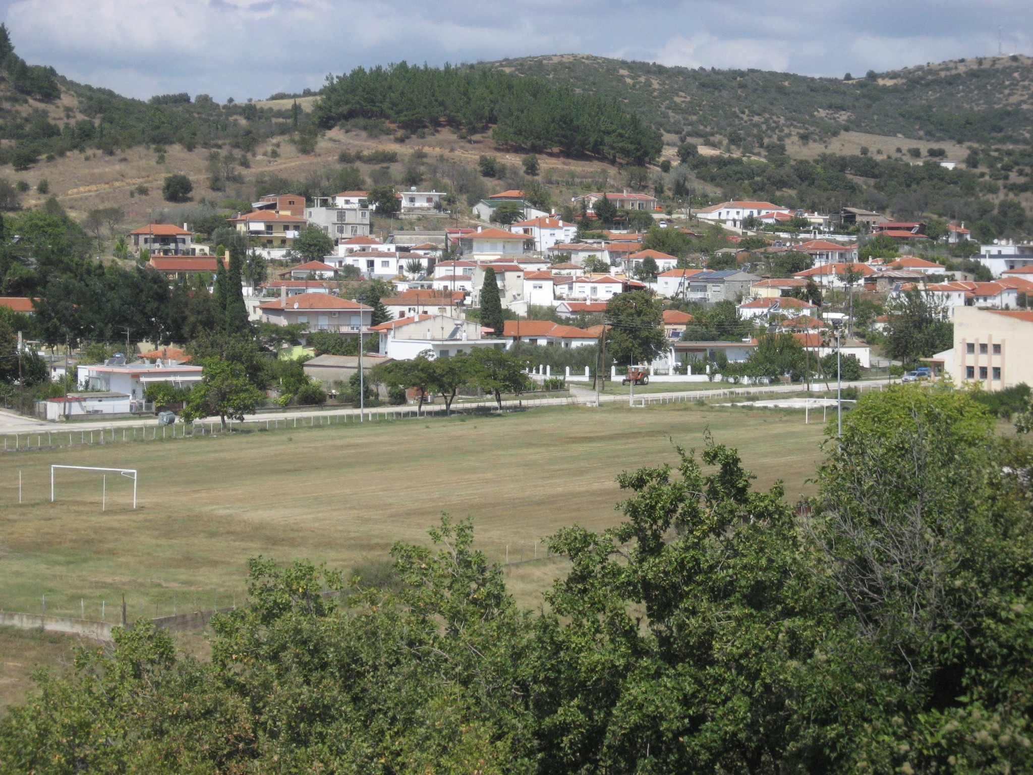
Metaxades

Metaxades at the the Greek-Bulgarian borders is a picturesque stone built head village, with unique, because of the beige stone, architecture in the region. Read more
-
-
Mani
In Mani of Evros has been operating since 2009 the Folklore Museum of Marides, with exhibits of the Marides tribe that has been continuously living in Thrace since antiquity. Read more
-
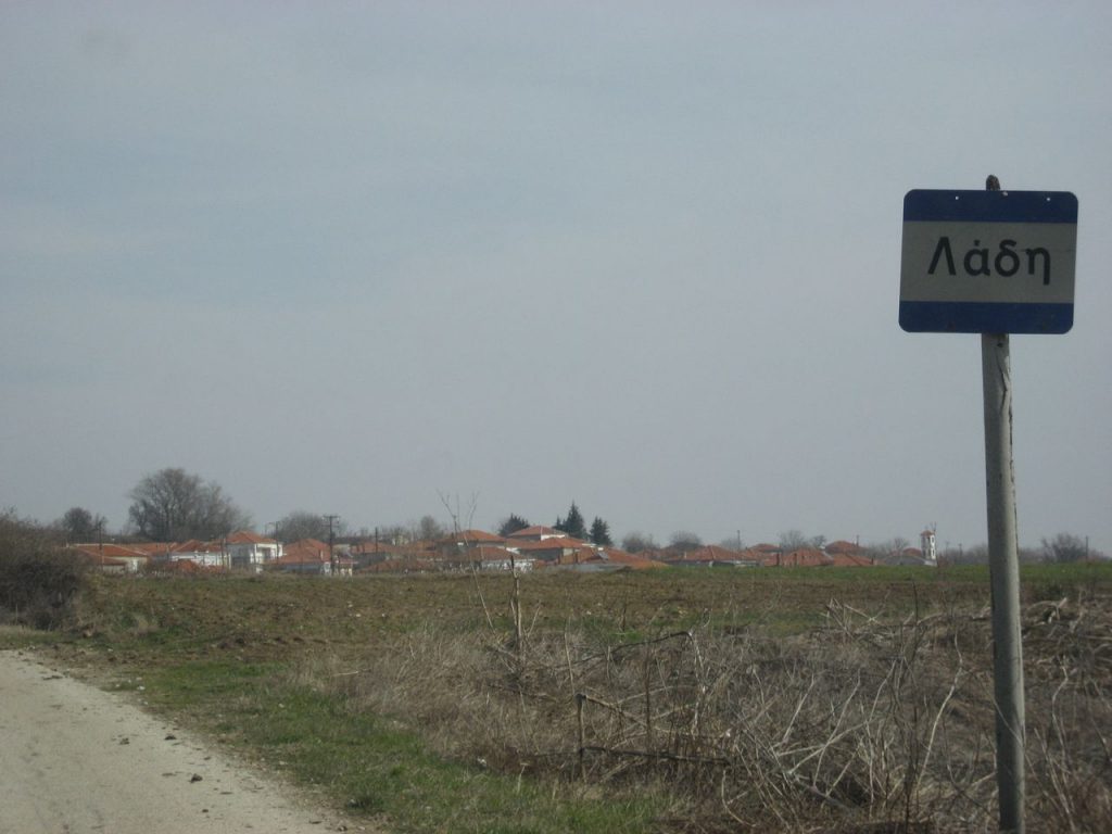
Ladi
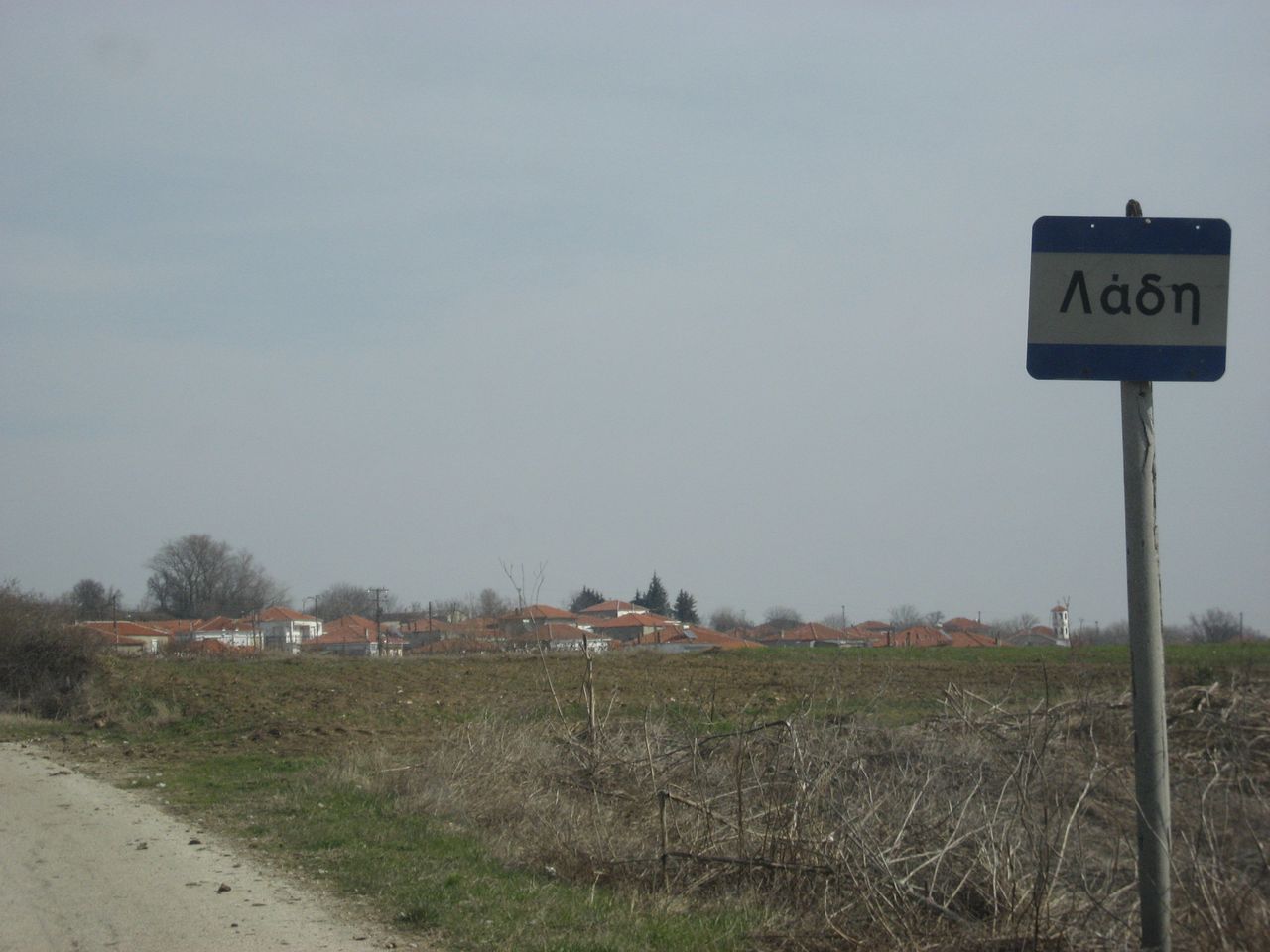
The village of Ladi had been built in the middle of the route that connected Didymoteicho with Ortaköy (current Ivaylovgrad of Bulgaria) and used to be a stop for rest. Read more
-
-
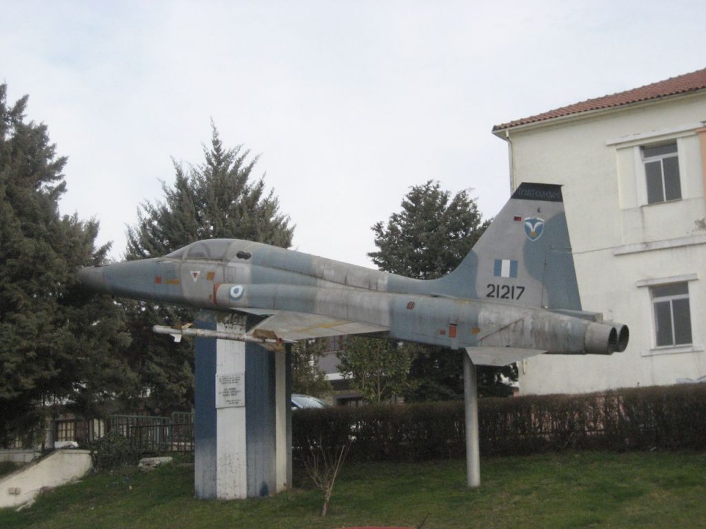
Lagos
The village of lagos in Evros, known for its military facilities, took its name from the many rabbits that existed and still exist in the area. Read more
-
Kyani
Kyani is one of the villages of Marides in Evros, in the valley of Erythropotamos, near Didymoteicho. Read more
-
-
Koufovouno
Koufovouno is 5 kilometers from Didymoteicho and is known for the Vouva cave, which gave its name to the village. Read more
-
-
Karoti
Karoti is a village in Northern Evros near Didymoteicho. Its residents belong to the family of “Marides”, indigenous descendants of the ancient Thracians. Read more
-
Thyrea
In Thyrea, on the road from Didymoteicho to Orestiada, has been traced a large burial mound with a height of 10 meters in which bronze war objects were found. Read more
-
Evgeniko
The village of Evgeniko in Evros was named after Eugene Eugenides, its benefactor, who funded the water supply of the village. Read more
-
Ellinohori
Ellinochori in Evros probably took its name after the liberation in 1920 to prevent the Bulgarian claims in the region. Read more
-
Elafochori
In Elafochori, in the settlement of Daphne, has been revealed an ancient Thracian underground built tomb of the 4th-3rd BC century, similar to the Macedonian ones. Read more
-
Doxa
The village of Doxa on the Greek-Bulgarian borders was named like this because it was rebuilt during the 50s after the disasters suffered in the civil war. Read more
-
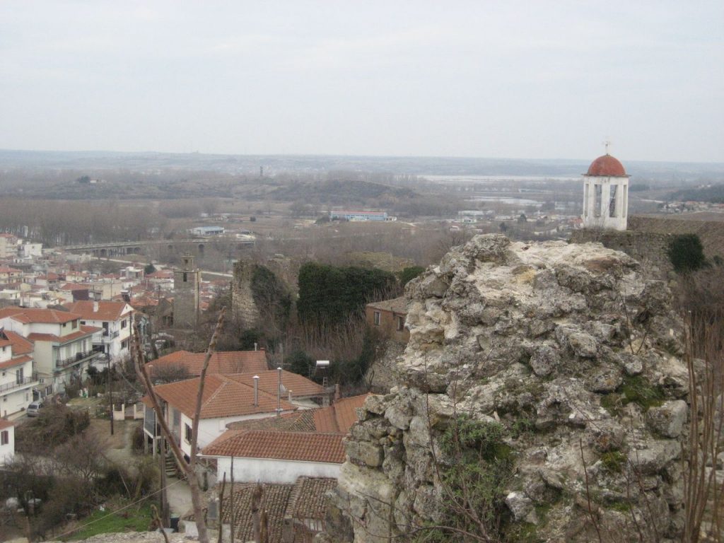
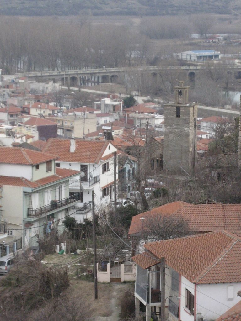
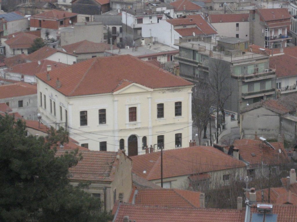
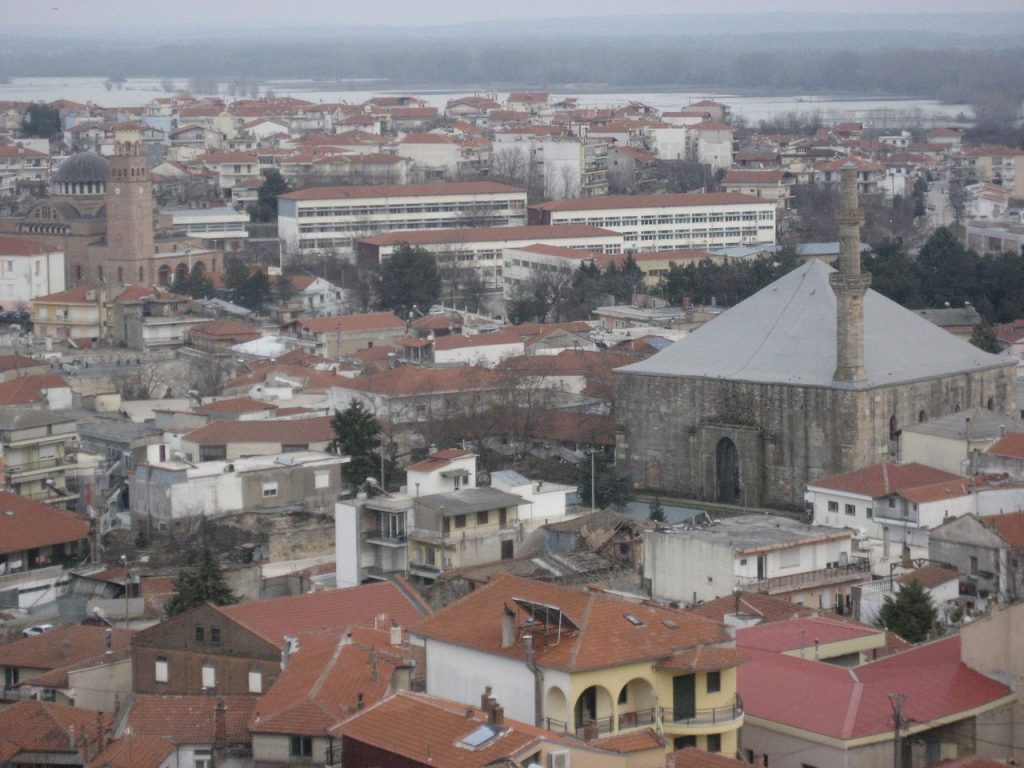
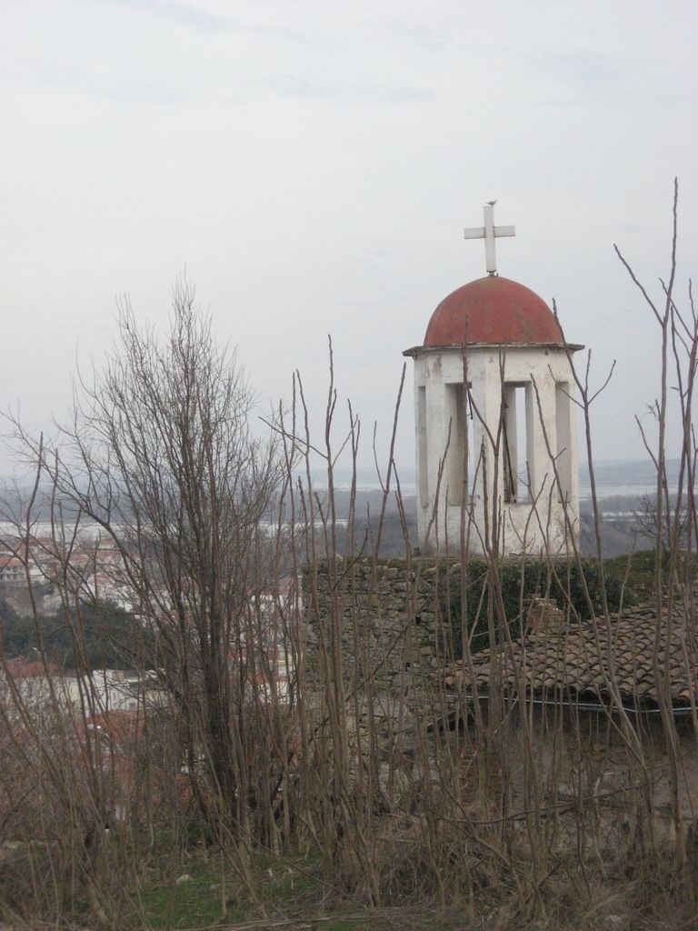
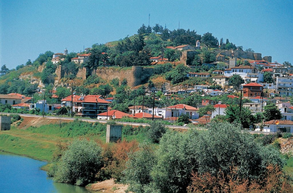
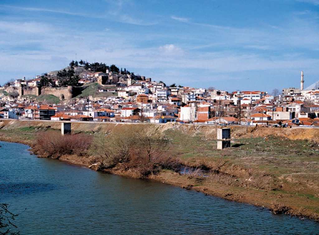
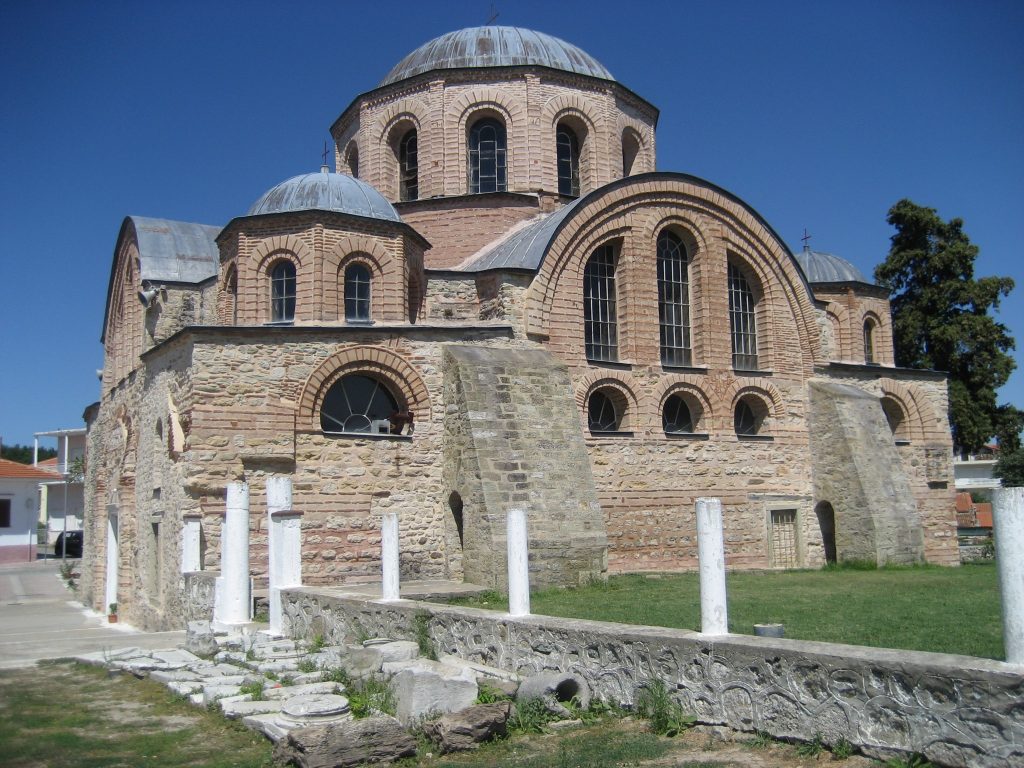
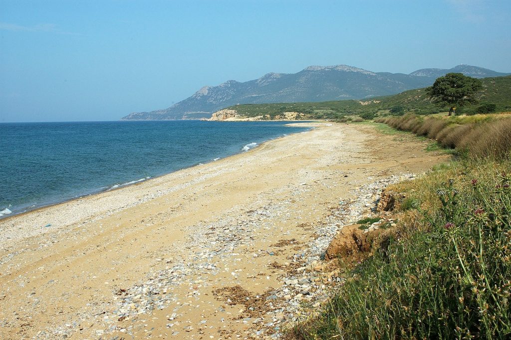
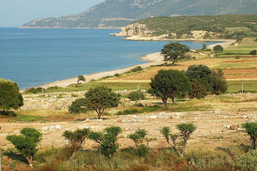
Didymoteicho

In Didymoteicho, 2 kilometers from the borders with Turkey, you can come across one of the most significant Roman, Byzantine and Ottoman monuments of Thrace. Read more
-
-
Vrysika
In Vrysika of Evros, in the middle of the route from Didymoteicho to Metaxades, operates a Folklore Museum with a rich collection of exhibits of the 19th century. Read more
-
Asproneri
Asproneri, a community of the northern Evros near Metaxades has always been a purely Christian village. Its inhabitants belong to the tribe of Marides. Read more
-
Asvestades
Asvestades is a small semi-mountainous village 14 kilometers west of Didymoteicho that retains very strongly the traditional element, the manners and customs. Read more
-
-
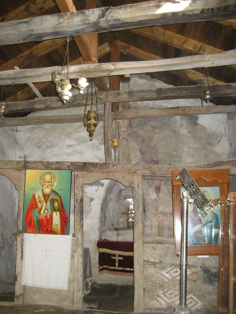
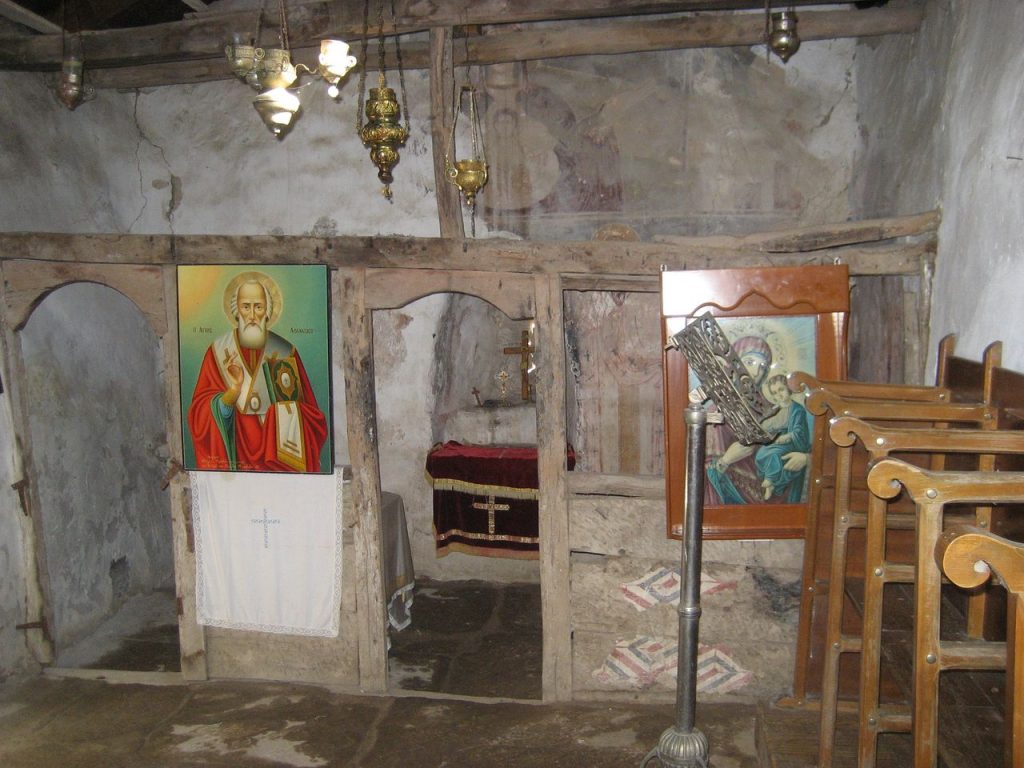
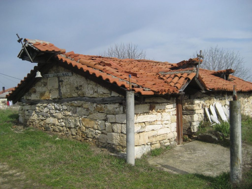
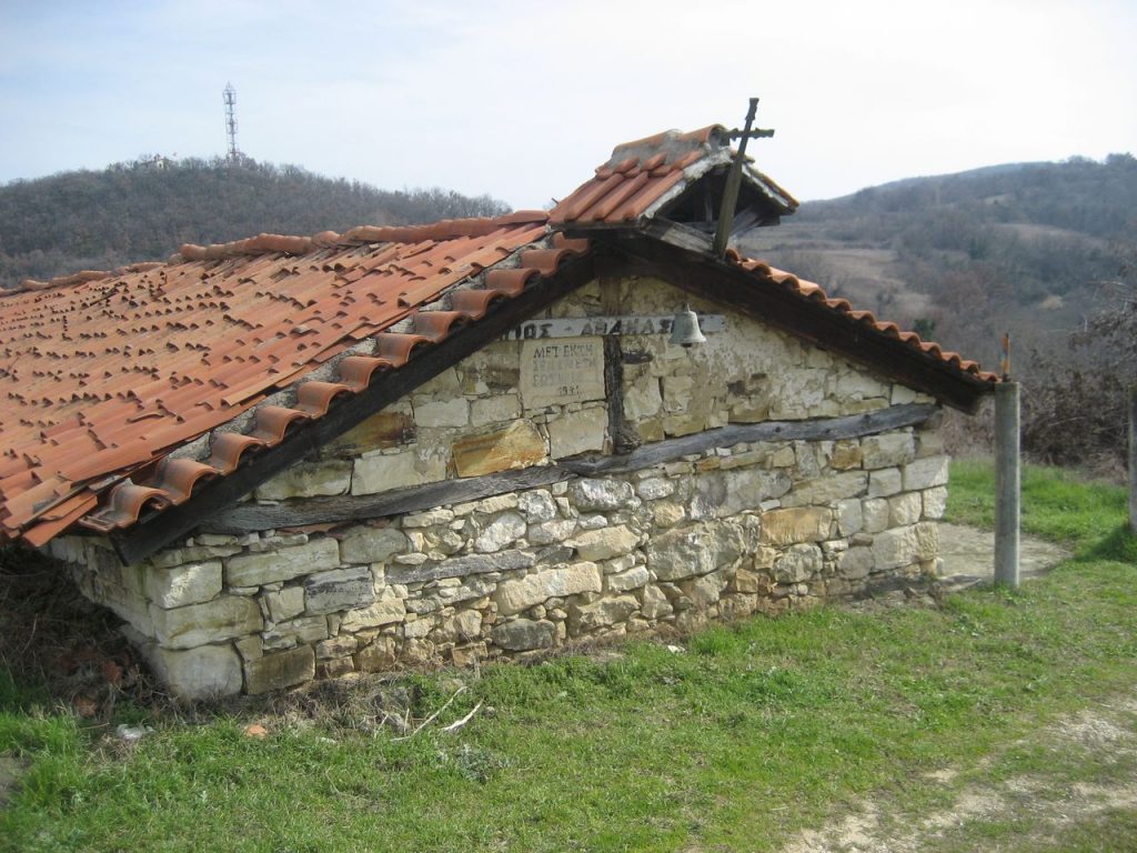
Alepochori
Alepohori in Evros is famous for its post-Byzantine church of Saint Athanasios in which there are excellent frescoes, although the church is architecturally humble. Read more
-
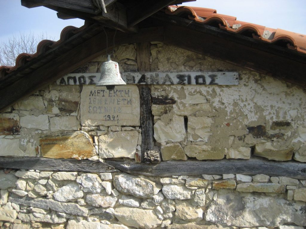
Αβδέλλα
Δίπλα στους Μεταξάδες στον Έβρο βρίσκεται ο οικισμός Αβδέλλα, στον οποίο σήμερα κατοικούν 30 άνθρωποι. Κάποια οικήματα στα Αβδέλλα διακρίνονται για την ιδιαίτερη αρχιτεκτονική τους, χτισμένα με την τοπική μπεζ πέτρα που συναντάμε και στα σπίτια των Μεταξάδων. Read more
-
Avdella
The settlement of Avdella, just outside Metaxades, retains to a certain degree the special architectural style of the area that is characterized by the beige stone. Read more
-
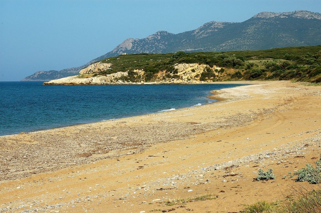
Feres

Feres, 6 kilometers from the borders with Turkey, is one of the main starting points for a visit to the Evros Delta. Read more
-
-
Trifylli
Trifylli is built on a hillside near the Dadia forest. Formerly it was called Pasmaktsi because of the fabrics (pasmades) that were made there. Read more
-
Sykorrachi
Sykorrachi at the western edge of the prefecture of Evros, on the borders with Rhodope, is famous for its taverns with local meat and good prices. Read more
-
Πεύκα
Ο οικισμός Πεύκα του Έβρου βρίσκεται στο βορειοανατολικό άκρο του πρώην Δήμου Τραϊανούπολης, στο κέντρο μιας ομάδας ορεινών χωριών των οποίων ο πληθυσμός έχει καταγωγή κυρίως από τον Πόντο. Συνδέεται οδικώς με ασφαλτοστρωμένους δρόμους με τα χωριά Νίψα βορειοδυτικά, Αετοχώρι νοτιοδυτικά, Λουτρός και Λουτρά Τραϊανούπολης νοτιοανατολικά. Read more
-
Pefka
Pefka of Evros is a hilly village with refugees from Santa of Pontus. It is located north of Traianoupolis, 16 kilometers from Alexandroupolis. Read more
-
Πέπλος
Ο Πέπλος είναι χωριό της Θράκης, στις όχθες του ποταμού Έβρου. Βρίσκεται 10 χιλιόμετρα βορειοανατολικά των Φερών, κοντά στο τέλος της Εγνατίας οδού. Συνορεύει με τα χωριά Βρυσούλα, Γεμιστή, Αρδάνιο, Κήποι και πιο ανατολικά με την Τουρκία. Οι κάτοικοι στην καταγωγή τους είναι Θρακιώτες, Μικρασιάτες και Αρβανίτες. Read more
-
Peplos
Peplos is built very close to the Evros River on the country borders. It has about 1,000 residents and a school that gathers students from the surrounding villages. Read more
-
Νίψα
Ο σύγχρονος οικισμός της Νίψας είναι κτισμένος περίπου 20 χλμ. βορειοανατολικά της Αλεξανδρούπολης. Κατά τη διάρκεια της Τουρκοκρατίας το χωριό είναι γνωστό με το όνομα Δομούζ Δερέ και κατοικείται κυρίως από Βουλγάρους. Το 1924 η Νίψα αναγνωρίζεται ως κοινότητα του ελληνικού κράτους και εγκαθίστανται στο χωριό Πόντιοι πρόσφυγες, όπως και στα γειτονικά χωριά Πεύκα και Αετοχώρι. Read more
-
-
Nipsa
Nipsa, a hilly village of Evros, over Traianoupolis, was inhabited in 1924 by Pontian refugees, as happened in the neighboring villages. Read more
-
-
Μέστη
Η Μέστη βρίσκεται γεωγραφικά στα όρια των νομών Έβρου και Ροδόπης. Στην δικαιοδοσία του οικισμού αυτού ανήκουν 30.000 στρέμματα γης και το δάσος της Μαύρης Πεύκης, με το παραδοσιακό όνομα «Τσάμια». Στην περιοχή αυτή της Μέστης κυλούν τρία ποτάμια: το Πλατανόρεμα, το Μεγάλο Ρέμα και ο Κόσινθος. Read more
-
Mesti
Mesti, on the limits of Evros with Rhodope, is mainly inhabited by Muslims. In the village operates the Christian church of Saint George. Read more
-
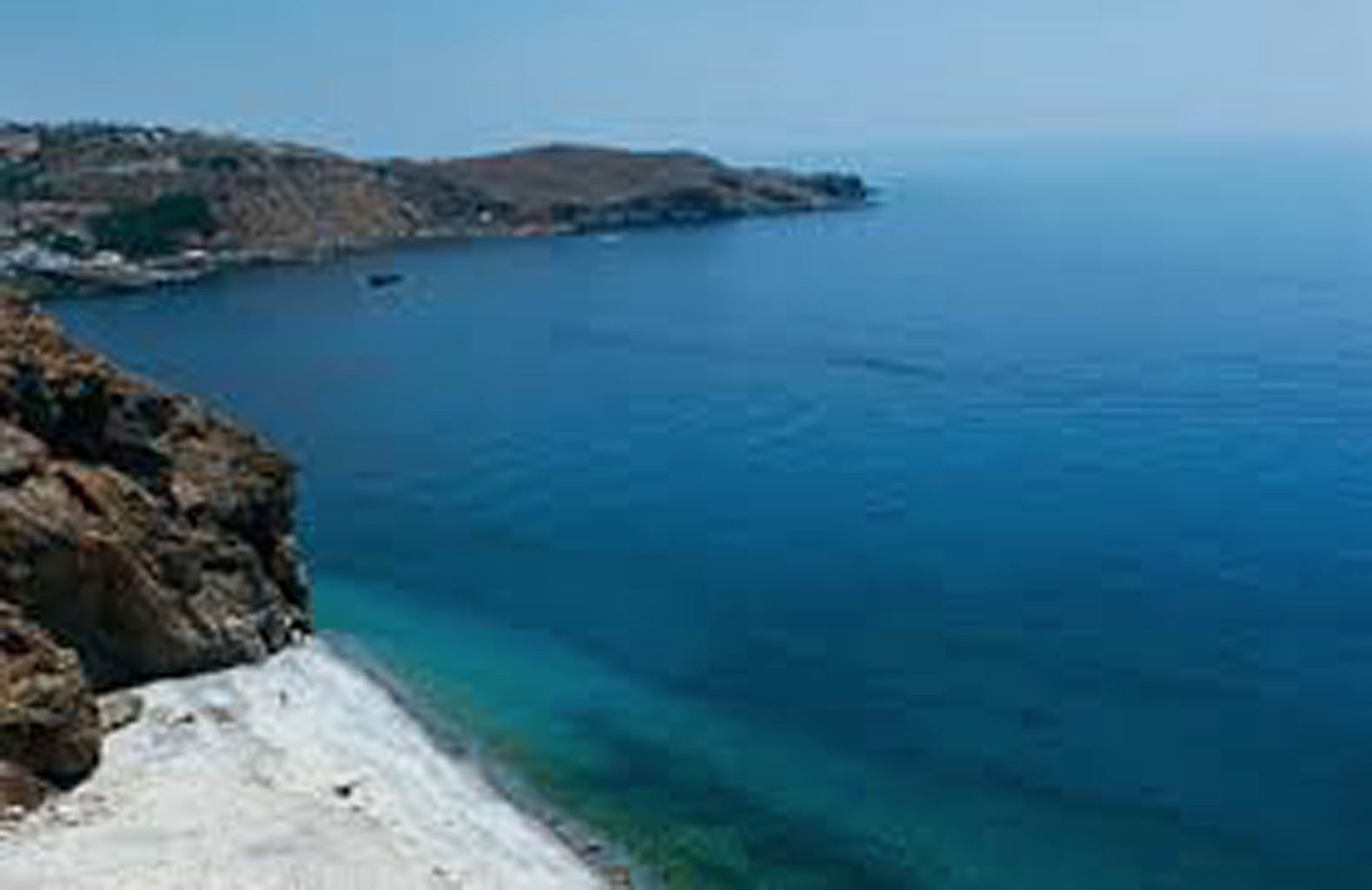
Messimvria

Messimvria in Evros, opposite Samothrace is mostly known for the archaeological site of Zoni – Messimvria with the impressive findings. Read more
-
-
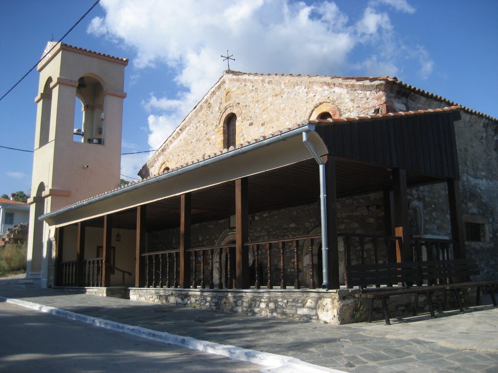
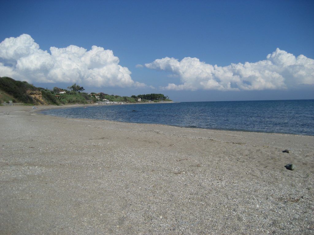
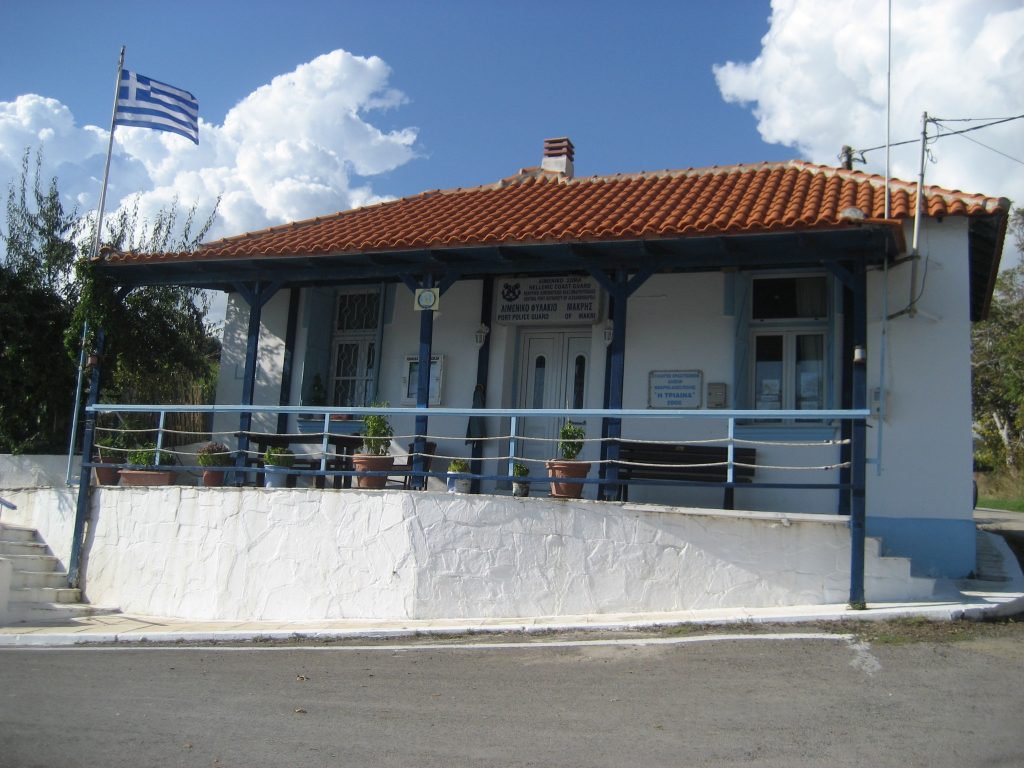
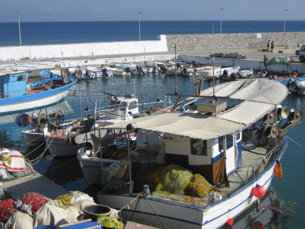
Μάκρη

Η Μάκρη είναι η παραλιακή κωμόπολη του Έβρου, το θερινό θέρετρο των κατοίκων του νομού και αριθμεί περίπου 1000 μόνιμους κατοίκους. Απέχει περίπου 12 χιλιόμετρα από το κέντρο της Αλεξανδρούπολης. Φημίζεται για τις παραλίες της που αποτελούν πόλο έλξης για τους κατοίκους της ευρύτερης περιοχής. Η πρόσβαση στο οικισμό γίνεται εύκολα μέσω κόμβου στην Εγνατία Οδό. Read more
-
-
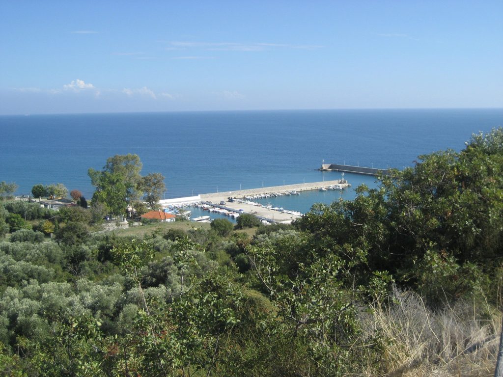
Makri
Makri is a coastal town east of Alexandroupolis with a small natural harbor, busy beaches, many taverns and grill houses. Read more
-
-
Λουτρός
Δύο χιλιόμετρα βόρεια του αρχαιολογικού χώρου της Τραϊανούπολης βρίσκεται το χωριό Λουτρός. Είναι ο μεγαλύτερος οικισμός της περιοχής και χρωστά το όνομά του στο ότι βρίσκεται κοντά στις εγκαταστάσεις των ιαματικών πηγών της Τραϊνούπολης. Οι κάτοικοι του Λουτρού προέρχονται από την Ανατολική, τη Βόρεια Θράκη και την Μικρά Ασία φέρνοντας ποικιλία παραδόσεων που με το χρόνο έχουν όμως, εξαλειφθεί. Read more
-
-
Loutros
Loutros is the biggest village in the region of Traianoupolis, with the thermal baths and the archaeological site. Read more
-
-
Loutra
In the settlement of Loutra in Traianoupolis are gathered many people who want to visit the thermal baths of the area and admire the archaeological site. Read more
-
-
Leptokarya
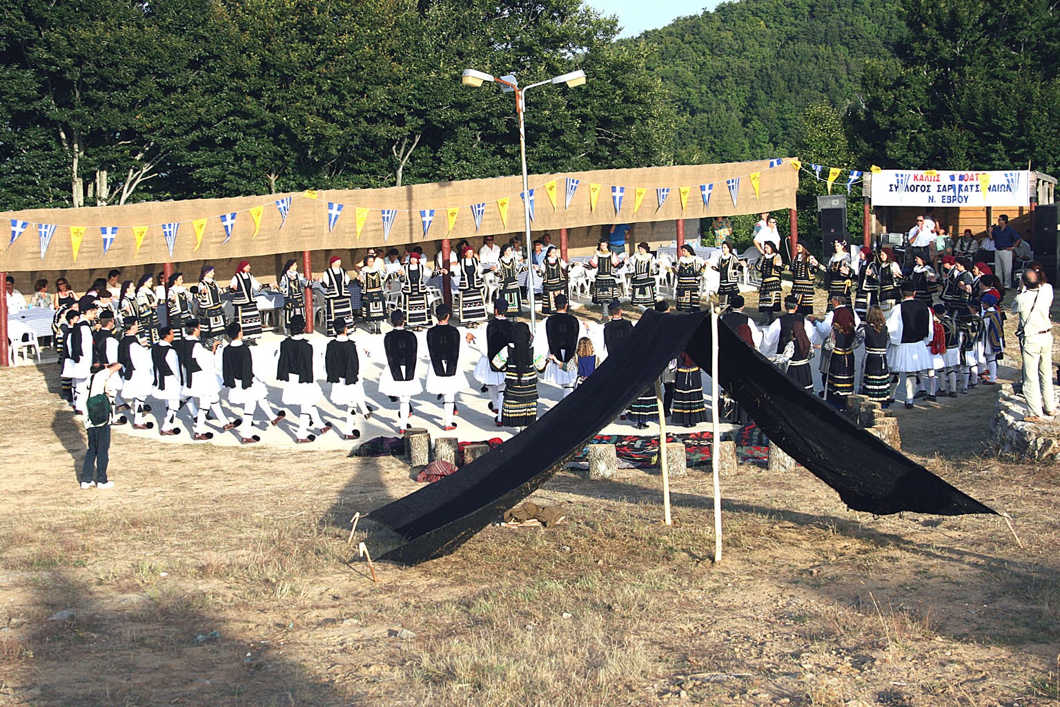
Leptokarya is the highest village in the Southern Evros and is 33 km away from Alexandroupolis. Here is built the traditional Sarakatsani settlement. Read more
-
-
Κοίλα
Τα Κοίλα είναι ημιορεινός οικισμός του νομού Έβρου, χτισμένος σε υψόμετρο 180 μέτρων. Ανήκει στον πρώην Δήμο Φερών και βρίσκεται 48 χλμ. βορειοανατολικά της Αλεξανδρούπολης. Σήμερα έχει ελάχιστους μόνιμους κατοίκους. Το μικρό αυτό χωριό όμως, έχει ενδιαφέρον για τους αρχαιολόγους, καθώς τα Κοίλα του Έβρου αποτελούν έναν οικισμό με δείγματα ζωής ήδη από τον 6ο π. Χ. Στα όρια του χωριού, είναι ορατά πολύ καθαρά τα προϊστορικά κάστρα και μεγαλιθικά μνημεία της ελληνικής αρχαιότητας. Read more
-
Koila
Koila near Feres in Evros, had been inhabited by Pontian refugees from Sourmena and Samsun. Today it was few residents. Read more
-
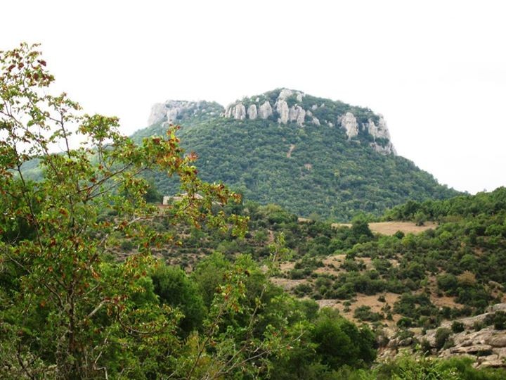
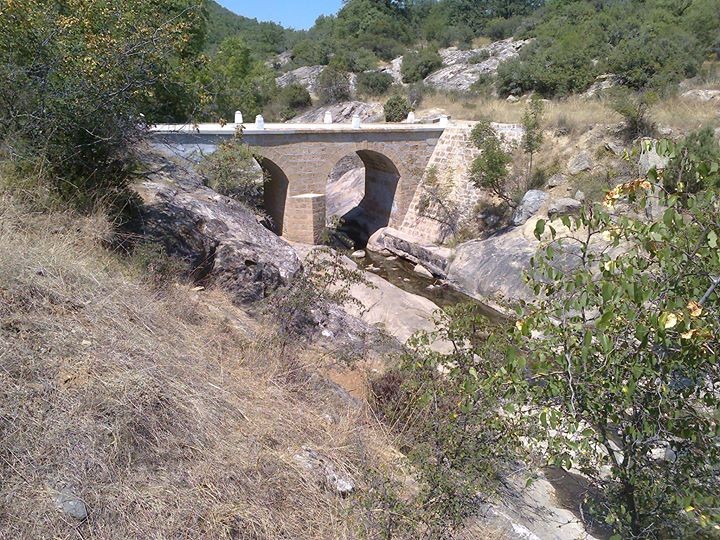
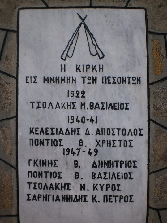
Κίρκη
Η Κίρκη είναι χωριό 75 κατοίκων, κτισμένο στους πρόποδες της οροσειράς Ροδόπης, σε τοπίο που χαρακτηρίζεται από την εναλλαγή καλλιεργήσιμων εκτάσεων, λόφων και βραχών. Η Κίρκη βρίσκεται στην κοιλάδα του μικρού ποταμού Ειρήνη, ο οποίος εκρέει στο Θρακικό Πέλαγος. Οδικά απέχει 25 χλμ. από την Αλεξανδρούπολη, προς τα βορειοδυτικά, σε μια πανέμορφη ορεινή διαδρομή με δάσος δρυός και πεύκου. Read more
-
-
Kirki
The village of Kirki, northeast of Alexandroupolis, is known for its abandoned mines located 3 km away from the village. Read more
-
-
Kipoi
Kipoi is the last village from which a traveler passes to go to Turkey. Its trademark is the Bridge of Kipoi that is half Greek and half Turkish. Read more
-
-
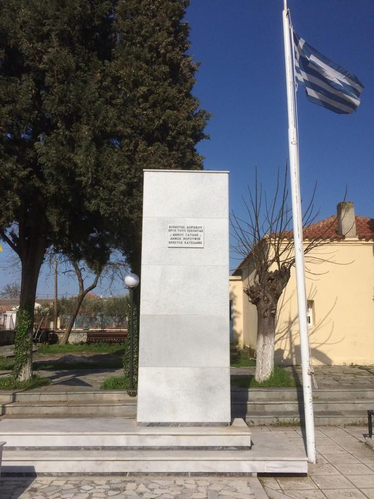
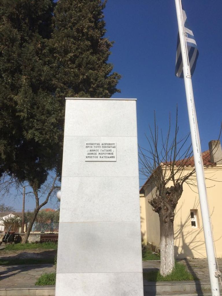
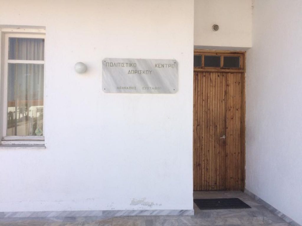
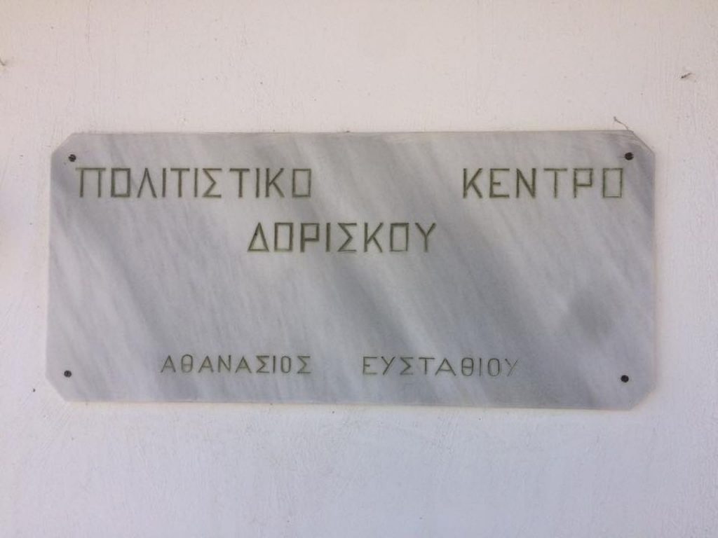
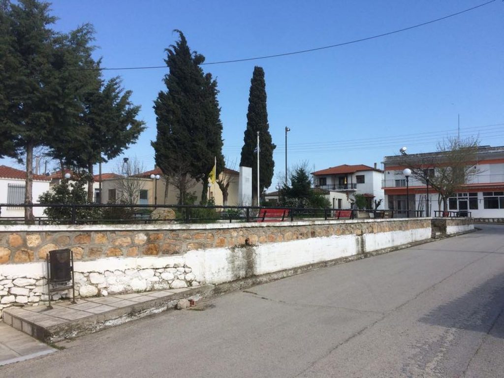
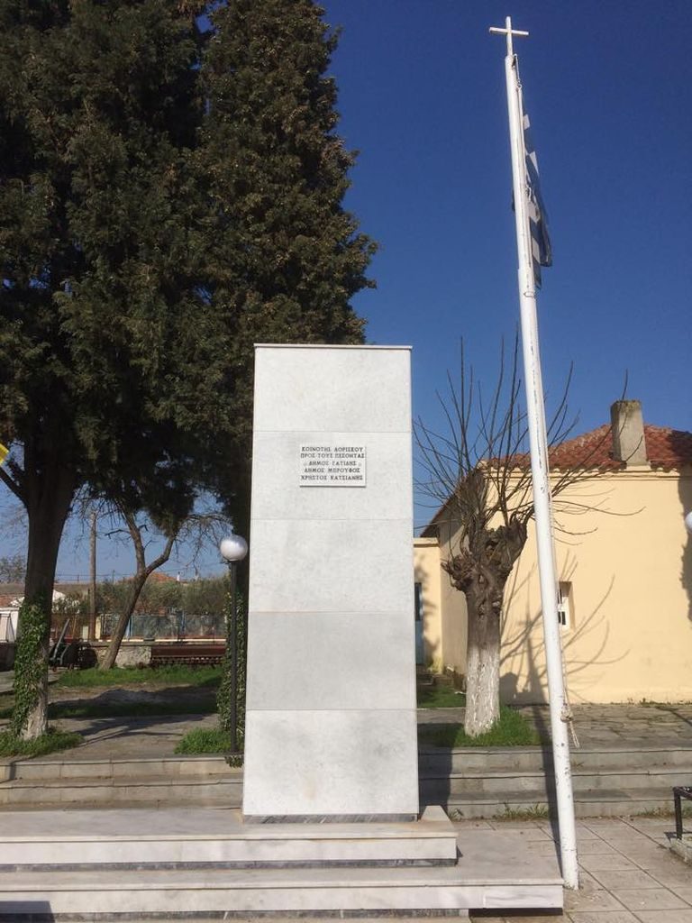
Δορίσκος
Ο οικισμός του Δορίσκου αναπτύχθηκε εκεί όπου παλαιότερα υπήρχε ο Αρχαίος Δορίσκος. όπου σύμφωνα με τον Ηρόδοτο, ο Ξέρξης το 480 π.Χ. στην εκστρατεία του κατά των Ελλήνων μέτρησε το στρατό και το στόλο του ενώ ο Δαρείος το 512 π.Χ. εγκατέστησε στρατιωτική φρουρά. Ο σημερινός Δορίσκος απέχει 5 χιλιόμετρα από τις Φέρες και 22 χιλιόμετρα από την Αλεξανδρούπολη.Είναι χτισμένος στην αρχή μιας μικρής κοιλάδας την οποία διασχίζει ένα ρέμα που το ονομάζουμε σήμερα, ρέμα της εκκλησίας. Read more
-
-
Doriskos
Doriscos is the newer settlement created there where was the Ancient Doriskos, between Traianoupolis and Feres in Evros. Read more
-
-
Δίκελλα
Τα Δίκελλα είναι παραθαλάσσιος οικισμός του Έβρου, με μόνιμο πληθυσμό 290 κατοίκων, σύμφωνα με την απογραφή του 2011. Το χωριό βρίσκεται δυτικά της Αλεξανδρούπολης, κοντά στην πόλη της Μάκρης και του αρχαιολογικού χώρου Ζώνης – Μεσημβρίας. Read more
-
-
Dikella
Dikella, a coastal settlement near Alexandroupolis, combines mountain and sea in an environment full of olive groves. Read more
-
-
Αρδάνιο
Το Αρδάνιο βρίσκεται έξι χιλιόμετρα βόρεια των Φερών, πάνω στην παλιά Εθνική οδό που συνδέει την Αλεξανδρούπολη με τα υπόλοιπα μέρη του νομού Έβρου. Έχει 306 μόνιμους κατοίκους, σύμφωνα με την απογραφή του 2011, που στην πλειοψηφία τους είναι πρόσφυγες από την Ανατολική και Βόρεια Θράκη. Από το χωριό Ροδώνη της Ανατολικής Θράκης, από όπου κατάγονται πολλοί κάτοικοι του σημερινού χωριού, πήρε και το όνομά του το Αρδάνιο – πρόκειται στην ουσία για παράφραση του αρχικού ονόματος. Read more
-
Ardanio
Ardianio is a riparian settlement on the banks of river Evros and is inhabited by refugees of the Eastern and Northern Thrace, from the village of Rhodoni. Read more
-
Antheia – Aristino
Antheia and Aristino constitute a twin settlement near Traianoupolis of Evros. Their residents are refugees from Eastern Thrace. Read more
-
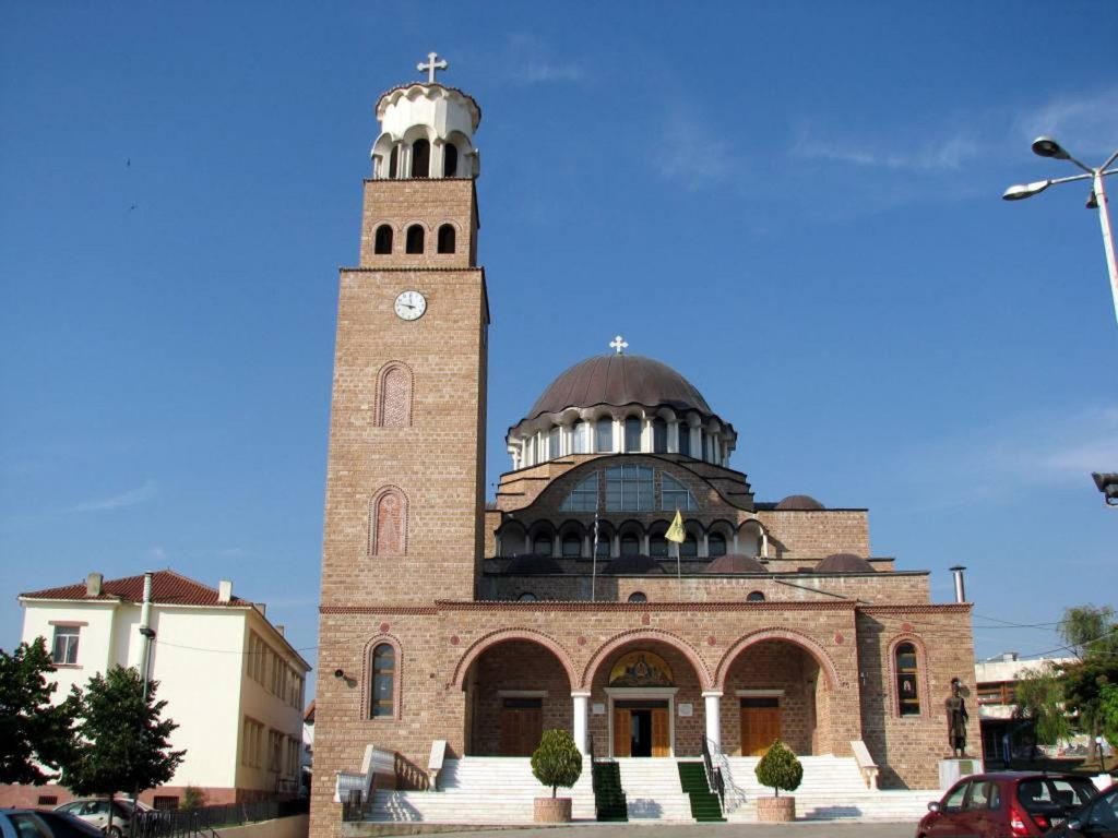
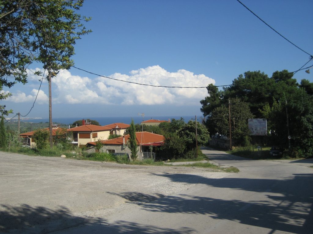
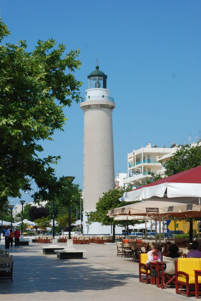
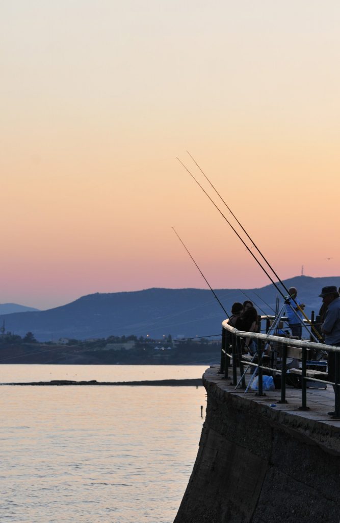
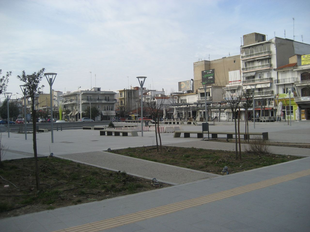
Alexandroupolis
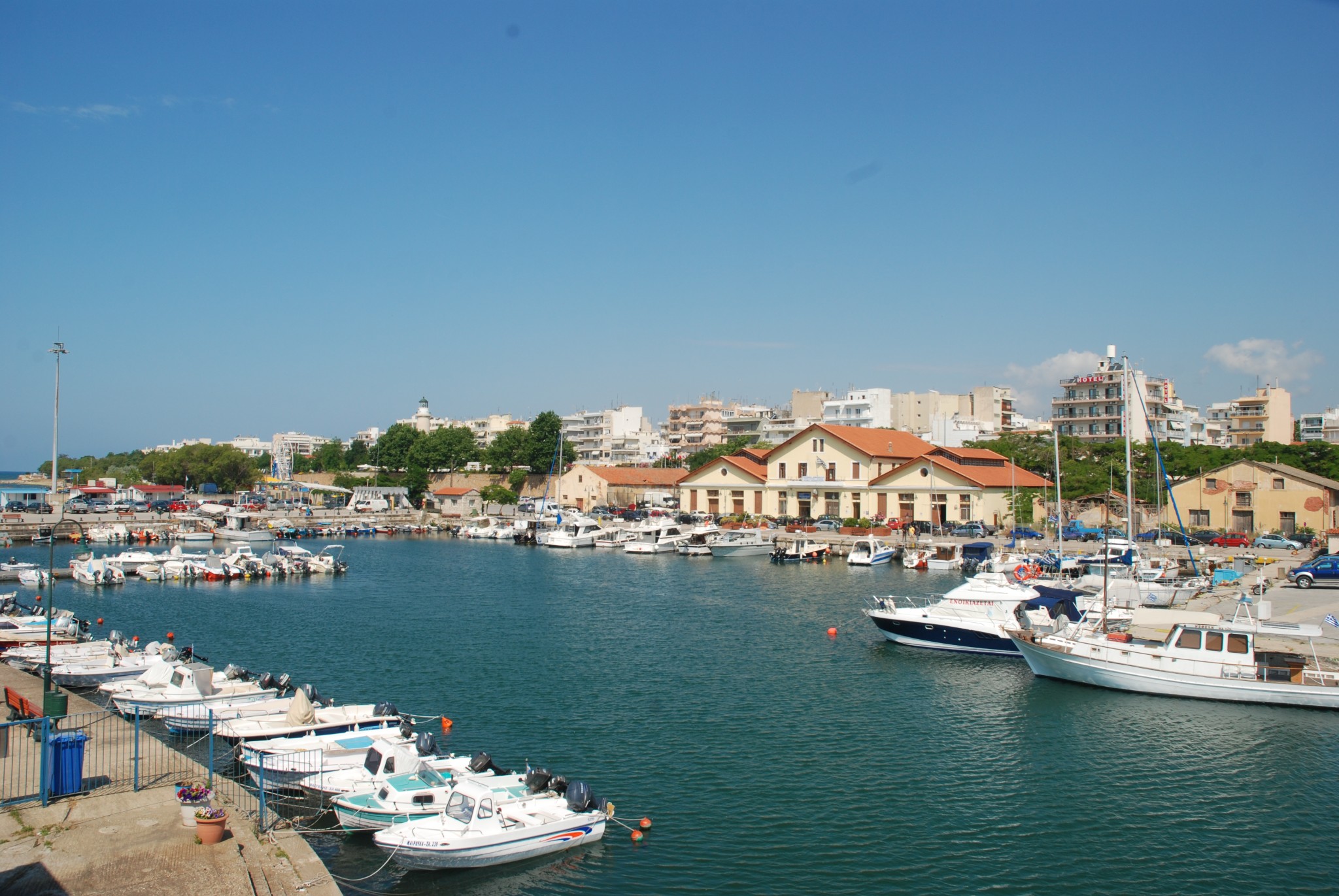
Alexandroupolis, with the 60,000 residents, is an ideal place to relax and a base for excursions to the entire Prefecture of Evros. Read more
-
-
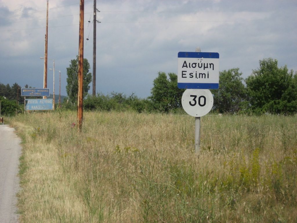
Aisymi
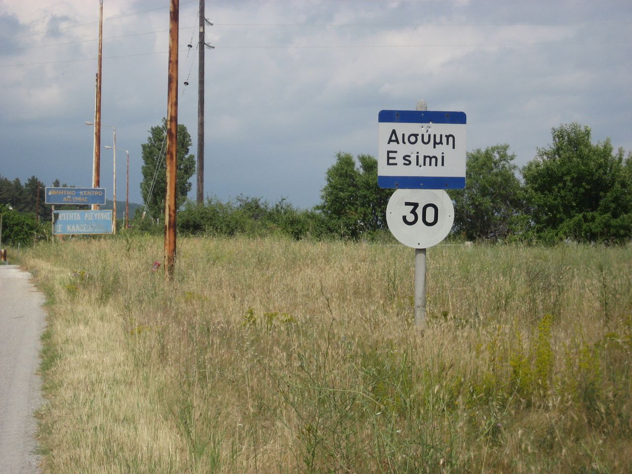
Aisymi is a hilly village of Evros near Alexandroupolis. There, a few years ago, was founded the Museum of Sarakatsani Tradition. Read more
-
-
Aetochori
Aetochori, outside Alexandroupolis, was built by Pontic Greek refugees from Santa of Pontus, in 1925. Read more
-
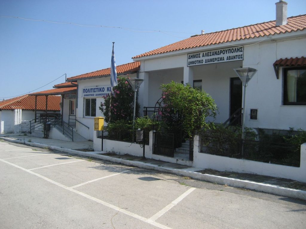
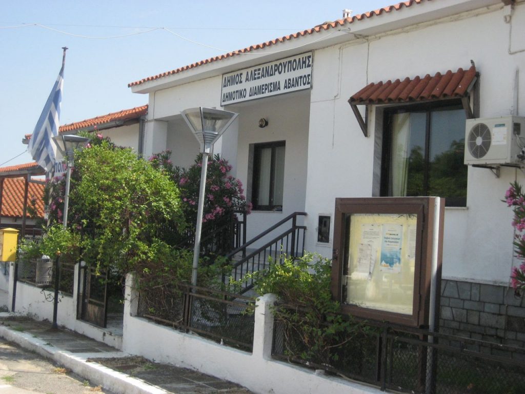
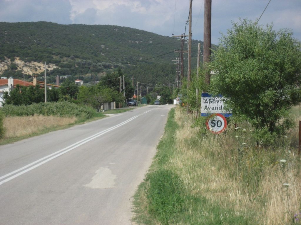
Άβαντας
Ο Άβαντας είναι ένα χωριό 10 χλμ βόρεια της Αλεξανδρούπολης. Το χωριό και η γύρω περιοχή παρουσιάζει ιδιαίτερο τουριστικό και οικολογικό ενδιαφέρον. Read more
-
-
Avantas
In the village of Avantas in Alexandroupolis, there are remains from medieval castles and the church of Saints Theodores, which is built inside a cave. Read more
-